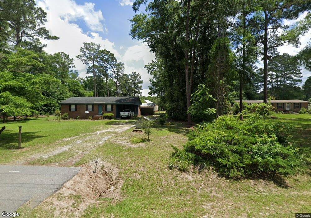
431 Lakeshore Dr Cordele, GA 31015
Estimated Value: $73,000 - $514,000
2
Beds
1
Bath
972
Sq Ft
$203/Sq Ft
Est. Value
About This Home
This home is located at 431 Lakeshore Dr, Cordele, GA 31015 and is currently estimated at $197,144, approximately $202 per square foot. 431 Lakeshore Dr is a home located in Crisp County with nearby schools including Crisp County Elementary School, Crisp County Primary School, and Crisp County Middle School.
Ownership History
Date
Name
Owned For
Owner Type
Purchase Details
Closed on
Aug 2, 2023
Sold by
Widner Freddie
Bought by
Reynolds Debbie L and Glenn Reynolds V
Current Estimated Value
Purchase Details
Closed on
Sep 6, 2019
Sold by
Widner Freddie
Bought by
Widner Freddie Keith
Purchase Details
Closed on
Jul 29, 2019
Sold by
Widner Lemmie Lee
Bought by
Widner Freddie and Widner Freddy Keith
Purchase Details
Closed on
May 8, 1997
Sold by
Widner Freddie
Bought by
Widner Freddie and Widner Le
Purchase Details
Closed on
Mar 30, 1973
Bought by
Widner Freddie
Create a Home Valuation Report for This Property
The Home Valuation Report is an in-depth analysis detailing your home's value as well as a comparison with similar homes in the area
Home Values in the Area
Average Home Value in this Area
Purchase History
| Date | Buyer | Sale Price | Title Company |
|---|---|---|---|
| Reynolds Debbie L | $10,000 | -- | |
| Widner Freddie Keith | -- | -- | |
| Widner Freddie | -- | -- | |
| Widner Freddie | -- | -- | |
| Widner Freddie | $1,500 | -- |
Source: Public Records
Tax History Compared to Growth
Tax History
| Year | Tax Paid | Tax Assessment Tax Assessment Total Assessment is a certain percentage of the fair market value that is determined by local assessors to be the total taxable value of land and additions on the property. | Land | Improvement |
|---|---|---|---|---|
| 2024 | $439 | $31,520 | $7,006 | $24,514 |
| 2023 | $777 | $43,113 | $19,853 | $23,260 |
| 2022 | $630 | $37,888 | $15,882 | $22,006 |
| 2021 | $617 | $36,634 | $15,882 | $20,752 |
| 2020 | $625 | $36,634 | $15,882 | $20,752 |
| 2019 | $596 | $42,193 | $21,441 | $20,752 |
| 2018 | $465 | $30,855 | $11,928 | $18,927 |
| 2017 | $949 | $30,855 | $11,928 | $18,927 |
| 2016 | $466 | $30,855 | $11,928 | $18,927 |
| 2015 | -- | $30,855 | $11,928 | $18,927 |
| 2014 | -- | $30,855 | $11,928 | $18,927 |
| 2013 | -- | $0 | $0 | $0 |
Source: Public Records
Map
Nearby Homes
- 120 Cove Rd
- 199 Hurt Dr
- 620 Lakeshore Dr
- 480 Spring Creek Rd
- 1022 Flournoy Rd
- 484 Spring Creek Rd
- 636 Spring Creek Rd
- 484 Lakeshore Way
- 888 Flournoy Rd
- Lot 15 Georgia-Florida Pkwy
- 0 Swift Creek Rd Unit 138425
- 118 Swift Creek Rd
- 0 Power Dam Rd
- 000 Lakeshore Way
- 696 Cork Ferry Rd
- 129 Main St NW
- 144 Bryant Rd
- 276 Lakeshore Way
- 198 Swift Creek Rd
- 616 Cork Ferry Rd