431 Mae Cato Dr Midway, FL 32343
Estimated Value: $300,000 - $309,810
3
Beds
2
Baths
1,652
Sq Ft
$186/Sq Ft
Est. Value
About This Home
This home is located at 431 Mae Cato Dr, Midway, FL 32343 and is currently estimated at $306,453, approximately $185 per square foot. 431 Mae Cato Dr is a home located in Gadsden County.
Ownership History
Date
Name
Owned For
Owner Type
Purchase Details
Closed on
Jul 23, 2021
Sold by
Campbell Ralphael and Campbell Karen
Bought by
Wms & Son Construction Inc
Current Estimated Value
Home Financials for this Owner
Home Financials are based on the most recent Mortgage that was taken out on this home.
Original Mortgage
$153,000
Interest Rate
2.93%
Mortgage Type
Construction
Purchase Details
Closed on
Dec 1, 2016
Bought by
Seminole Boosters Inc
Purchase Details
Closed on
Sep 24, 2013
Sold by
G & A Lloyd #1 Llc
Bought by
Orion Lot Holdings Llc
Create a Home Valuation Report for This Property
The Home Valuation Report is an in-depth analysis detailing your home's value as well as a comparison with similar homes in the area
Home Values in the Area
Average Home Value in this Area
Purchase History
| Date | Buyer | Sale Price | Title Company |
|---|---|---|---|
| Wms & Son Construction Inc | $21,000 | Attorney | |
| Seminole Boosters Inc | $100 | -- | |
| Orion Lot Holdings Llc | $46,600 | Attorney |
Source: Public Records
Mortgage History
| Date | Status | Borrower | Loan Amount |
|---|---|---|---|
| Closed | Wms & Son Construction Inc | $153,000 |
Source: Public Records
Tax History Compared to Growth
Tax History
| Year | Tax Paid | Tax Assessment Tax Assessment Total Assessment is a certain percentage of the fair market value that is determined by local assessors to be the total taxable value of land and additions on the property. | Land | Improvement |
|---|---|---|---|---|
| 2024 | $4,819 | $254,942 | $37,000 | $217,942 |
| 2023 | $4,611 | $240,531 | $30,000 | $210,531 |
| 2022 | $423 | $22,000 | $22,000 | $0 |
| 2021 | $333 | $17,000 | $17,000 | $0 |
| 2020 | $196 | $10,030 | $10,030 | $0 |
| 2019 | $194 | $10,030 | $10,030 | $0 |
| 2018 | $179 | $8,755 | $0 | $0 |
| 2017 | $174 | $8,500 | $0 | $0 |
| 2016 | $176 | $8,500 | $0 | $0 |
| 2015 | $175 | $8,500 | $0 | $0 |
| 2014 | $243 | $12,000 | $0 | $0 |
Source: Public Records
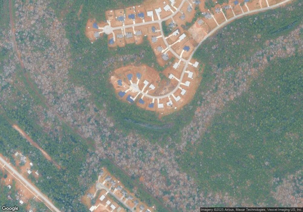
Map
Nearby Homes
- 137 Monroe Creek Dr
- 8873 High Bridge Rd
- 8877 High Bridge Rd
- 7 Mae Cato Dr
- 274 Forest Cir S
- 34 Frank Run
- 69 Buckskin Cir
- 164 Deloris Madison Dr
- 81 Knight Rd
- 65 Deloris Madison Dr
- 25 Pine Bark Ln
- 17 Pine Bark Ln
- 920 Rustling Pines Blvd
- 6 Slash Ln
- 0 Central Rd
- 325 Mine Rd
- XX S Lanier Rd
- 327 Hayward Dupont St
- 0 Hayward Dupont St Unit 380560
- 0 Hayward Dupont St Unit 386501
- 449 Mae Cato Dr
- 415 Mae Cato Dr
- 407 Mae Cato Dr
- 491 Mae Cato Dr
- 459 Mae Cato Dr
- 444 Mae Cato Dr
- 387 Mae Cato Dr
- 475 Mae Cato Dr
- 378 Mae Cato Dr
- 474 Mae Cato Dr
- 379 Mae Cato Dr
- 490 Mae Cato Dr
- 359 Mae Cato Dr
- 66 Louis Parker Way
- 88 Louis Parker Way
- 341 Mae Cato Dr
- 52 Louis Parker Way
- 75 Louis Parker Way
- J/4 Louis Parker Way
- 315 Mae Cato Dr