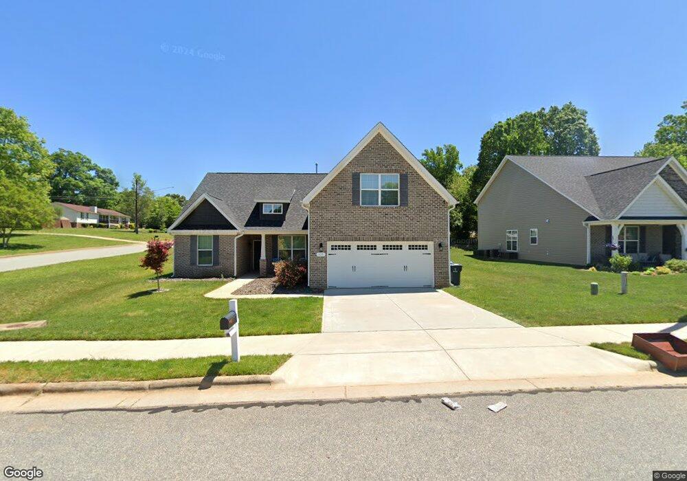
431 Melva Ln Kernersville, NC 27284
Kerners Mill NeighborhoodEstimated Value: $400,000 - $421,000
3
Beds
2
Baths
2,055
Sq Ft
$202/Sq Ft
Est. Value
About This Home
This home is located at 431 Melva Ln, Kernersville, NC 27284 and is currently estimated at $414,267, approximately $201 per square foot. 431 Melva Ln is a home located in Forsyth County with nearby schools including Kernersville Elementary School, Kernersville Middle, and East Forsyth High School.
Ownership History
Date
Name
Owned For
Owner Type
Purchase Details
Closed on
Mar 5, 2020
Sold by
Poston David Brian and Greenly Michaelene
Bought by
Greenly Randall James and Poston David Brian
Current Estimated Value
Home Financials for this Owner
Home Financials are based on the most recent Mortgage that was taken out on this home.
Original Mortgage
$249,292
Outstanding Balance
$224,267
Interest Rate
4.37%
Mortgage Type
FHA
Estimated Equity
$190,000
Purchase Details
Closed on
Mar 8, 2018
Sold by
Pci Builders Inc
Bought by
Windsor Investments Llc
Create a Home Valuation Report for This Property
The Home Valuation Report is an in-depth analysis detailing your home's value as well as a comparison with similar homes in the area
Home Values in the Area
Average Home Value in this Area
Purchase History
| Date | Buyer | Sale Price | Title Company |
|---|---|---|---|
| Greenly Randall James | -- | None Available | |
| Poston David Brian | $258,000 | None Available | |
| Windsor Investments Llc | $300,000 | None Available |
Source: Public Records
Mortgage History
| Date | Status | Borrower | Loan Amount |
|---|---|---|---|
| Open | Poston David Brian | $249,292 |
Source: Public Records
Tax History Compared to Growth
Tax History
| Year | Tax Paid | Tax Assessment Tax Assessment Total Assessment is a certain percentage of the fair market value that is determined by local assessors to be the total taxable value of land and additions on the property. | Land | Improvement |
|---|---|---|---|---|
| 2024 | $3,704 | $291,200 | $59,500 | $231,700 |
| 2023 | $3,704 | $291,200 | $59,500 | $231,700 |
| 2022 | $3,693 | $291,200 | $59,500 | $231,700 |
| 2021 | $3,693 | $291,200 | $59,500 | $231,700 |
| 2020 | $3,794 | $281,900 | $62,500 | $219,400 |
| 2019 | $785 | $281,900 | $62,500 | $219,400 |
| 2018 | $728 | $56,300 | $56,300 | $0 |
| 2016 | $732 | $56,250 | $56,250 | $0 |
| 2015 | $717 | $56,250 | $56,250 | $0 |
| 2014 | $709 | $56,250 | $56,250 | $0 |
Source: Public Records
Map
Nearby Homes
- 223 Beaucrest Rd
- 304 Irving Park Dr
- 5985 Woodfield Dr
- 912 Wimberly Way Ct
- 218 Westwood Dr
- 420 Sunset Dr
- 206 Westwood Dr
- 429 Drayton Park Dr
- 6433 Lamshire Rd
- 104 Tilley's Grove
- 438 Knightwood Ct
- 6455 Littlewood Rd
- 1504 Cabot Place
- 703 Oakhurst St
- 1505 Cabot Place
- 6416 Lamshire Rd
- 6017 Woods Edge Ln
- 410 Mountain Grove Ln
- 112 Baxter St
- 5112 Mcconnell Dr Unit 5112