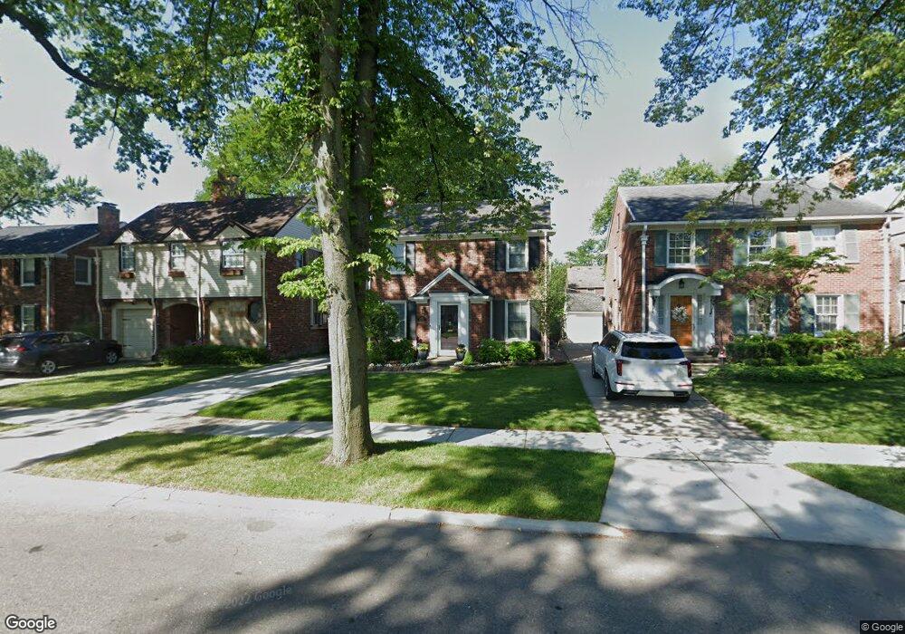
431 Moran Rd Grosse Pointe Farms, MI 48236
Estimated Value: $372,155 - $439,000
--
Bed
1
Bath
1,473
Sq Ft
$275/Sq Ft
Est. Value
About This Home
This home is located at 431 Moran Rd, Grosse Pointe Farms, MI 48236 and is currently estimated at $404,789, approximately $274 per square foot. 431 Moran Rd is a home located in Wayne County with nearby schools including Richard Elementary School, Brownell Middle School, and Grosse Pointe South High School.
Ownership History
Date
Name
Owned For
Owner Type
Purchase Details
Closed on
Jan 28, 2019
Sold by
Dereyna Karen S and De Reyna Karen Sue
Bought by
Dereyna David R
Current Estimated Value
Home Financials for this Owner
Home Financials are based on the most recent Mortgage that was taken out on this home.
Original Mortgage
$232,800
Outstanding Balance
$177,327
Interest Rate
4.4%
Mortgage Type
New Conventional
Estimated Equity
$227,462
Purchase Details
Closed on
Feb 24, 2003
Sold by
Dereyna David R and Dereyna Karen S
Bought by
Dereyna David R
Purchase Details
Closed on
Nov 23, 1994
Sold by
Belanger Paul
Bought by
Kathleen J Connell
Create a Home Valuation Report for This Property
The Home Valuation Report is an in-depth analysis detailing your home's value as well as a comparison with similar homes in the area
Home Values in the Area
Average Home Value in this Area
Purchase History
| Date | Buyer | Sale Price | Title Company |
|---|---|---|---|
| Dereyna David R | -- | Title Source Inc | |
| Dereyna David R | -- | -- | |
| Kathleen J Connell | $147,500 | -- |
Source: Public Records
Mortgage History
| Date | Status | Borrower | Loan Amount |
|---|---|---|---|
| Open | Dereyna David R | $232,800 |
Source: Public Records
Tax History Compared to Growth
Tax History
| Year | Tax Paid | Tax Assessment Tax Assessment Total Assessment is a certain percentage of the fair market value that is determined by local assessors to be the total taxable value of land and additions on the property. | Land | Improvement |
|---|---|---|---|---|
| 2025 | $2,835 | $165,900 | $0 | $0 |
| 2024 | $2,835 | $156,800 | $0 | $0 |
| 2023 | $2,701 | $145,100 | $0 | $0 |
| 2022 | $5,045 | $133,200 | $0 | $0 |
| 2021 | $4,766 | $121,700 | $0 | $0 |
| 2019 | $4,686 | $116,700 | $0 | $0 |
| 2018 | $2,398 | $112,400 | $0 | $0 |
| 2017 | $4,161 | $109,300 | $0 | $0 |
| 2016 | $4,362 | $107,200 | $0 | $0 |
| 2015 | $8,640 | $95,300 | $0 | $0 |
| 2013 | $8,370 | $83,700 | $0 | $0 |
| 2012 | $2,225 | $83,700 | $21,600 | $62,100 |
Source: Public Records
Map
Nearby Homes
- 415 Lothrop Rd
- 975 Fisher Rd
- 380 Merriweather Rd
- 441 Manor St
- 343 Mount Vernon Ave
- 352 Mckinley Ave
- 317 Mount Vernon Ave
- 18119 Cornwall St
- 314 Mount Vernon Ave
- 341 Mcmillan Rd
- 827 Fisher Rd
- 471 Touraine Rd
- 4598 Lodewyck St
- 876 Washington Rd
- 302 Mount Vernon Ave
- 432 Calvin Ave
- 351 Moselle Place
- 265 Williams Ave
- 4522 Hereford St
- 4865 Marseilles St
- 429 Moran Rd
- 433 Moran Rd
- 435 Moran Rd
- 427 Moran Rd
- 440 Mckinley Ave
- 437 Moran Rd
- 425 Moran Rd
- 442 Mckinley Ave
- 438 Mckinley Ave
- 444 Mckinley Ave
- 436 Mckinley Ave
- 439 Moran Rd
- 423 Moran Rd
- 446 Mckinley Ave
- 434 Mckinley Ave
- 428 Mount Vernon Ave
- 436 Moran Rd
- 448 Mckinley Ave
- 426 Mount Vernon Ave
- 432 Mckinley Ave