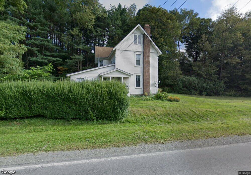
431 Old Route 17 Windsor, NY 13865
Estimated Value: $169,915 - $194,000
2
Beds
1
Bath
1,876
Sq Ft
$98/Sq Ft
Est. Value
About This Home
This home is located at 431 Old Route 17, Windsor, NY 13865 and is currently estimated at $184,479, approximately $98 per square foot. 431 Old Route 17 is a home located in Broome County with nearby schools including C.R. Weeks Elementary School and Windsor Central High School.
Ownership History
Date
Name
Owned For
Owner Type
Purchase Details
Closed on
Jul 29, 2019
Sold by
Gove Wayne D and Gove Julie A
Bought by
Hrach Joseph M and Hrach Melissa K
Current Estimated Value
Home Financials for this Owner
Home Financials are based on the most recent Mortgage that was taken out on this home.
Original Mortgage
$95,000
Outstanding Balance
$83,254
Interest Rate
3.73%
Mortgage Type
New Conventional
Estimated Equity
$101,225
Purchase Details
Closed on
Jul 2, 2008
Sold by
Richard E Hoal Trust
Bought by
Gove Wayne
Home Financials for this Owner
Home Financials are based on the most recent Mortgage that was taken out on this home.
Original Mortgage
$90,000
Interest Rate
6.17%
Mortgage Type
New Conventional
Purchase Details
Closed on
Feb 19, 2008
Sold by
Richard E Hoal Trust
Bought by
Swift Kelly
Create a Home Valuation Report for This Property
The Home Valuation Report is an in-depth analysis detailing your home's value as well as a comparison with similar homes in the area
Home Values in the Area
Average Home Value in this Area
Purchase History
| Date | Buyer | Sale Price | Title Company |
|---|---|---|---|
| Hrach Joseph M | $100,000 | None Available | |
| Gove Wayne | $100,000 | Peter Gorton | |
| Swift Kelly | -- | Charles Collison |
Source: Public Records
Mortgage History
| Date | Status | Borrower | Loan Amount |
|---|---|---|---|
| Open | Hrach Joseph M | $95,000 | |
| Previous Owner | Gove Wayne | $90,000 |
Source: Public Records
Tax History Compared to Growth
Tax History
| Year | Tax Paid | Tax Assessment Tax Assessment Total Assessment is a certain percentage of the fair market value that is determined by local assessors to be the total taxable value of land and additions on the property. | Land | Improvement |
|---|---|---|---|---|
| 2024 | $2,929 | $57,100 | $21,000 | $36,100 |
| 2023 | $2,869 | $57,100 | $21,000 | $36,100 |
| 2022 | $2,707 | $57,100 | $21,000 | $36,100 |
| 2021 | $2,694 | $57,100 | $21,000 | $36,100 |
| 2020 | $2,517 | $57,100 | $21,000 | $36,100 |
| 2019 | $0 | $57,100 | $21,000 | $36,100 |
| 2018 | $1,845 | $57,100 | $21,000 | $36,100 |
| 2017 | $1,840 | $57,100 | $21,000 | $36,100 |
| 2016 | $1,866 | $57,100 | $21,000 | $36,100 |
| 2015 | -- | $57,100 | $21,000 | $36,100 |
| 2014 | -- | $57,100 | $21,000 | $36,100 |
Source: Public Records
Map
Nearby Homes
- 8 New St
- 0 Grove St
- 213 Shedd Rd
- 1501 New York 79
- 20 Main St
- 57 Chestnut St
- 252 Fordway Rd
- 944 Anne Rd
- 869 State Route 79
- 850 Ouaquaga Rd
- 159 White Birch Lake
- 1186 Old Route 17
- 111 Mountain Rd Unit Lot 1
- 251 Mountain Rd
- 245 Mountain Rd
- 44 and 48 Gaf Lake Rd
- 599 Ostrander Rd
- 848 Ouaquaga Rd
- 130 Brown Rd
- 156 Dodd Rd
- 442 Old Route 17
- 402 Old Route 17
- 388 Old Route 17
- 392 Old Route 17
- 336 Old Route 17 Unit 16
- 336 Old Route 17 Unit 15
- 361 Old Route 17
- 186 Grove St
- 333 Old Route 17
- 0 Shedd Rd
- 328 Old Route 17
- 318 Old Route 17
- 210 Grove St
- 315 Old Route 17
- 314 Old Route 17
- 38 Shedd Rd
- 311 Old Route 17
- 152 Grove St
- 304 Old Route 17
- 62 Shedd Rd