431 Olmstead Ave Bronx, NY 10473
Castle Hill NeighborhoodEstimated Value: $541,127 - $758,000
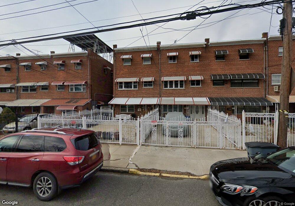
About This Home
This home is located at 431 Olmstead Ave, Bronx, NY 10473 and is currently estimated at $678,782, approximately $425 per square foot. 431 Olmstead Ave is a home located in Bronx County with nearby schools including P.S. 182.
Ownership History
We collect this data history from publicly available records. To have your information removed, we recommend requesting removal directly through your county’s website.
Purchase Details
Home Financials for this Owner
Home Financials are based on the most recent Mortgage that was taken out on this home.Home Values in the Area
Average Home Value in this Area
Purchase History
We collect this data history from publicly available records. To have your information removed, we recommend requesting removal directly through your county’s website.
| Date | Buyer | Sale Price | Title Company |
|---|---|---|---|
| $180,000 | Fidelity National Title Ins | ||
| -- | Fidelity National Title Ins |
Mortgage History
We collect this data history from publicly available records. To have your information removed, we recommend requesting removal directly through your county’s website.
| Date | Status | Borrower | Loan Amount |
|---|---|---|---|
| Closed | $144,000 |
Tax History
We collect this data history from publicly available records. To have your information removed, we recommend requesting removal directly through your county’s website.
| Year | Tax Paid | Tax Assessment Tax Assessment Total Assessment is a certain percentage of the fair market value that is determined by local assessors to be the total taxable value of land and additions on the property. | Land | Improvement |
|---|---|---|---|---|
| 2026 | $4,516 | $25,336 | $3,992 | $21,344 |
| 2025 | $4,248 | $23,903 | $4,095 | $19,808 |
| 2024 | $4,248 | $22,550 | $3,693 | $18,857 |
| 2023 | $4,208 | $22,118 | $3,827 | $18,291 |
| 2022 | $3,910 | $30,300 | $6,240 | $24,060 |
| 2021 | $4,140 | $31,140 | $6,240 | $24,900 |
| 2020 | $3,920 | $28,380 | $6,240 | $22,140 |
| 2019 | $3,638 | $25,140 | $6,240 | $18,900 |
| 2018 | $3,460 | $18,432 | $4,687 | $13,745 |
| 2017 | $3,458 | $18,432 | $4,757 | $13,675 |
| 2016 | $3,207 | $17,594 | $4,919 | $12,675 |
| 2015 | $1,886 | $16,599 | $6,152 | $10,447 |
| 2014 | $1,886 | $15,660 | $6,960 | $8,700 |
Map
- 445 Olmstead Ave
- 437 Torry Ave
- 2114 Lacombe Ave
- 434 Torry Ave
- 433 Howe Ave Unit A
- 408 Howe Ave
- 2076 Caesar Place
- 419 Turneur Ave
- 2226 Norton Ave
- 2228 Norton Ave
- 430 Turneur Ave
- 2242 Lacombe Ave
- 234 Betts Ave
- 260 Zerega Ave
- 254 Zerega Ave
- 233 Husson Ave
- 306 Newman Ave
- 437 Zerega Ave
- 321 Newman Ave
- 1904 Lacombe Ave
- 439 Olmstead Ave
- 437 Olmstead Ave
- 441 Olmstead Ave
- 435 Olmstead Ave
- 443 Olmstead Ave
- 433 Olmstead Ave
- 447 Olmstead Ave
- 429 Olmstead Ave
- 449 Olmstead Ave
- 432 Screvin Ave
- 434 Screvin Ave
- 430 Screvin Ave
- 427 Olmstead Ave
- 436 Screvin Ave
- 428 Screvin Ave
- 451 Olmstead Ave
- 438 Screvin Ave
- 426 Screvin Ave
- 425 Olmstead Ave
- 453 Olmstead Ave
Ask me questions while you tour the home.