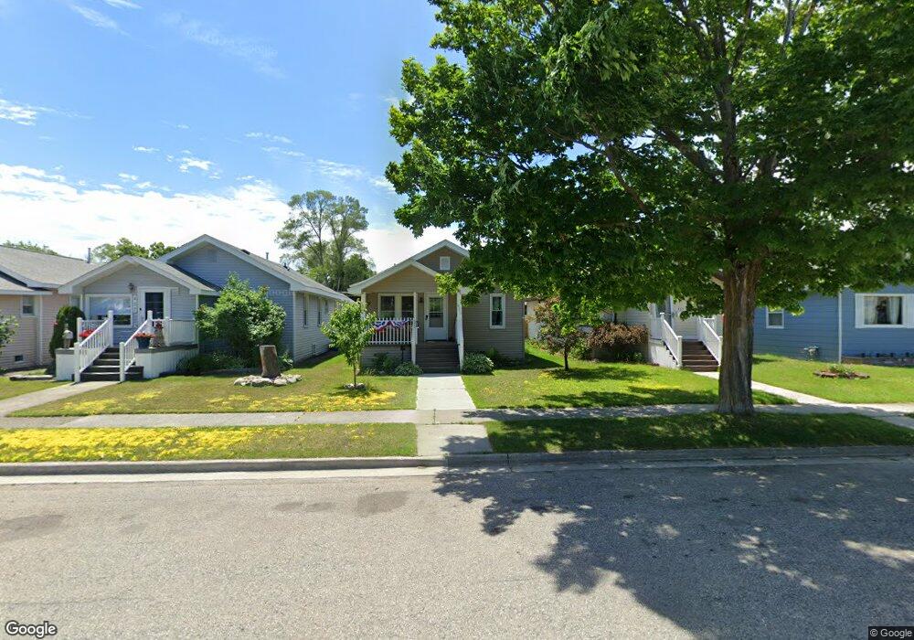
431 S 2nd St Rogers City, MI 49779
Estimated Value: $88,251 - $109,000
2
Beds
1
Bath
823
Sq Ft
$121/Sq Ft
Est. Value
About This Home
This home is located at 431 S 2nd St, Rogers City, MI 49779 and is currently estimated at $99,813, approximately $121 per square foot. 431 S 2nd St is a home with nearby schools including Rogers City Elementary School, Rogers City High School, and St. John Lutheran School.
Ownership History
Date
Name
Owned For
Owner Type
Purchase Details
Closed on
Jul 29, 2011
Sold by
Bruning Brian and Ferstle Maureen
Bought by
Lung Heather
Current Estimated Value
Home Financials for this Owner
Home Financials are based on the most recent Mortgage that was taken out on this home.
Original Mortgage
$25,000
Outstanding Balance
$2,062
Interest Rate
4.54%
Mortgage Type
Unknown
Estimated Equity
$97,751
Purchase Details
Closed on
Aug 24, 2010
Sold by
Bruning Brian and Ferstle Maureen
Bought by
Bruning Brian and Ferstle Maureen
Create a Home Valuation Report for This Property
The Home Valuation Report is an in-depth analysis detailing your home's value as well as a comparison with similar homes in the area
Home Values in the Area
Average Home Value in this Area
Purchase History
| Date | Buyer | Sale Price | Title Company |
|---|---|---|---|
| Lung Heather | $25,000 | -- | |
| Bruning Brian | -- | -- |
Source: Public Records
Mortgage History
| Date | Status | Borrower | Loan Amount |
|---|---|---|---|
| Open | Lung Heather | $25,000 |
Source: Public Records
Tax History Compared to Growth
Tax History
| Year | Tax Paid | Tax Assessment Tax Assessment Total Assessment is a certain percentage of the fair market value that is determined by local assessors to be the total taxable value of land and additions on the property. | Land | Improvement |
|---|---|---|---|---|
| 2025 | $834 | $37,300 | $0 | $0 |
| 2024 | $666 | $31,500 | $0 | $0 |
| 2023 | $635 | $28,100 | $0 | $0 |
| 2022 | $769 | $26,800 | $0 | $0 |
| 2021 | $745 | $22,100 | $0 | $0 |
| 2020 | $721 | $20,300 | $0 | $0 |
| 2019 | $1,058 | $19,900 | $0 | $0 |
| 2018 | $1,033 | $20,800 | $0 | $0 |
| 2016 | -- | $18,500 | $0 | $0 |
| 2014 | -- | $17,900 | $0 | $0 |
Source: Public Records
Map
Nearby Homes
- 312 E Orchard St
- 335 S 4th St
- 360 E Huron Ave
- 151 Hoeft Rd
- 1053 Birch St
- 0 451 Hwy Unit 201834784
- 619 State St
- 1089 Dettloff St
- 1194 Larke Ave
- 440 Hemlock St
- 0 M-68 Unit 201836886
- 0 M-68 Unit 28 Acres 201828504
- 0 Airport Hwy Unit 201836891
- 0 Airport Hwy Unit 201836889
- 0 Airport Hwy & County Road 451 Unit 201836885
- 1334 N Cedar St
- 0 N Cedar St Unit 201834160
- 0 W Airport Hwy Unit 201835935
- V/L W Airport Hwy
- 0 M-68 Hwy and Airport Rd Unit 201836887