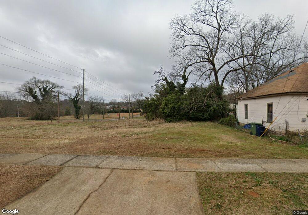
431 S 9th St Griffin, GA 30224
Spalding County NeighborhoodEstimated Value: $291,000
--
Bed
--
Bath
--
Sq Ft
0.57
Acres
About This Home
This home is located at 431 S 9th St, Griffin, GA 30224 and is currently priced at $291,000. 431 S 9th St is a home located in Spalding County with nearby schools including Anne Street Elementary School, Rehoboth Road Middle School, and Griffin High School.
Ownership History
Date
Name
Owned For
Owner Type
Purchase Details
Closed on
Oct 8, 2021
Sold by
Qdc Inc
Bought by
Wellstar Spalding Regional Hospital Inc
Current Estimated Value
Purchase Details
Closed on
Mar 9, 2011
Sold by
Qdc Inc
Bought by
Qdc Inc
Purchase Details
Closed on
Jan 23, 1986
Sold by
Newton Charles E and Newton Thomas M
Bought by
Glover Robert H
Purchase Details
Closed on
May 1, 1985
Sold by
Newton Will Hill Ii Etal
Bought by
Newton Charles E and Newton Thomas M
Purchase Details
Closed on
May 24, 1982
Sold by
Newton Mrs C E
Bought by
Newton Will Hill Ii Etal
Purchase Details
Closed on
Dec 16, 1968
Sold by
Newton C E
Bought by
Newton Mrs C E
Purchase Details
Closed on
Jun 6, 1968
Sold by
Newton Newton C and Newton Mrs C
Bought by
Newton Mrs C E
Create a Home Valuation Report for This Property
The Home Valuation Report is an in-depth analysis detailing your home's value as well as a comparison with similar homes in the area
Home Values in the Area
Average Home Value in this Area
Purchase History
| Date | Buyer | Sale Price | Title Company |
|---|---|---|---|
| Wellstar Spalding Regional Hospital Inc | $4,066,500 | -- | |
| Qdc Inc | -- | -- | |
| Glover Robert H | $15,000 | -- | |
| Newton Charles E | -- | -- | |
| Newton Will Hill Ii Etal | -- | -- | |
| Newton Mrs C E | -- | -- | |
| Newton Mrs C E | -- | -- |
Source: Public Records
Tax History Compared to Growth
Tax History
| Year | Tax Paid | Tax Assessment Tax Assessment Total Assessment is a certain percentage of the fair market value that is determined by local assessors to be the total taxable value of land and additions on the property. | Land | Improvement |
|---|---|---|---|---|
| 2024 | $4,718 | $122,274 | $122,274 | $0 |
| 2023 | $4,886 | $122,274 | $122,274 | $0 |
| 2022 | $2,003 | $122,274 | $122,274 | $0 |
| 2021 | $520 | $13,008 | $13,008 | $0 |
| 2020 | $520 | $13,008 | $13,008 | $0 |
| 2019 | $529 | $13,008 | $13,008 | $0 |
| 2018 | $549 | $13,008 | $13,008 | $0 |
| 2017 | $538 | $13,008 | $13,008 | $0 |
| 2016 | $546 | $13,008 | $13,008 | $0 |
| 2015 | $555 | $13,008 | $13,008 | $0 |
| 2014 | $572 | $13,008 | $13,008 | $0 |
Source: Public Records
Map
Nearby Homes
- 320 S 12th St
- 115 Kennelsman Dr Unit LOT FC 1
- 523 S 6th St
- 541 S 6th St
- 18 Terracedale Ct
- 650 S Hill St
- 102 N Hill St Unit 304
- 102 N Hill St Unit 303
- 134 Townsend Ct
- 40 Terrace St
- 754 Scales St
- 811 Westbrook St
- 717 Scales St
- 731 Scales St
- 218 W Central Ave
- 737 W Solomon St
- 304 Tilney Ave
- 108 N 14th St
- 822 W Solomon St
- 733 W Broad St
- 425 S 9th St
- 424 S Collins St
- 331 W Oak St
- 517 S 9th St
- 418 S Collins St
- 427 S Collins St
- 423 S Collins St
- 230 W College St Unit C
- 230 W College St Unit A
- 230 W College St
- 412 S Collins St
- W W Oak St Unit LOT 7
- W W Oak St
- 402 W Oak St
- 513 S Collins St
- 219 W Oak St Unit 3
- 219 W Oak St
- 411 S 9th St
- 523 S 9th St
- 312 W College St