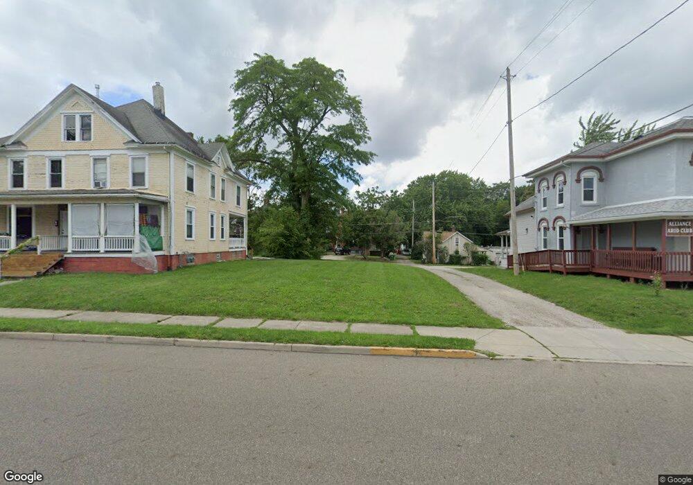
431 S Arch Ave Alliance, OH 44601
Estimated Value: $40,000
4
Beds
2
Baths
2,323
Sq Ft
$17/Sq Ft
Est. Value
About This Home
This home is located at 431 S Arch Ave, Alliance, OH 44601 and is currently priced at $40,000, approximately $17 per square foot. 431 S Arch Ave is a home located in Stark County with nearby schools including Alliance Intermediate School at Northside, Alliance Elementary School at Rockhill, and Alliance Middle School.
Ownership History
Date
Name
Owned For
Owner Type
Purchase Details
Closed on
Aug 19, 2025
Sold by
City Of Alliance
Bought by
City Of Alliance Land Reutilization Program
Current Estimated Value
Purchase Details
Closed on
May 22, 2024
Sold by
Stark Cnty Land Reutilization
Bought by
Alliance City and Alliance Land Reutilizati
Purchase Details
Closed on
Dec 17, 2018
Sold by
Stark County Land Reutilization Corporat
Bought by
Stark County Regional Planning Commissio
Purchase Details
Closed on
Nov 2, 2017
Sold by
Harrington Victor D
Bought by
Stark County Land Reutilization Corporat
Purchase Details
Closed on
Oct 23, 1992
Create a Home Valuation Report for This Property
The Home Valuation Report is an in-depth analysis detailing your home's value as well as a comparison with similar homes in the area
Home Values in the Area
Average Home Value in this Area
Purchase History
| Date | Buyer | Sale Price | Title Company |
|---|---|---|---|
| City Of Alliance Land Reutilization Program | -- | None Listed On Document | |
| Alliance City | -- | None Listed On Document | |
| Stark County Regional Planning Commissio | -- | None Available | |
| Stark County Land Reutilization Corporat | -- | None Available | |
| -- | $5,000 | -- |
Source: Public Records
Tax History Compared to Growth
Tax History
| Year | Tax Paid | Tax Assessment Tax Assessment Total Assessment is a certain percentage of the fair market value that is determined by local assessors to be the total taxable value of land and additions on the property. | Land | Improvement |
|---|---|---|---|---|
| 2025 | -- | $2,240 | $2,240 | -- |
| 2024 | -- | $2,240 | $2,240 | -- |
| 2023 | $0 | $910 | $910 | $0 |
| 2022 | $704 | $910 | $910 | $0 |
| 2021 | $704 | $910 | $910 | $0 |
| 2020 | -- | $950 | $950 | $0 |
| 2019 | $256 | $11,560 | $1,860 | $9,700 |
| 2018 | $861 | $11,560 | $1,860 | $9,700 |
| 2017 | $0 | $10,190 | $1,540 | $8,650 |
| 2016 | $4,266 | $10,190 | $1,540 | $8,650 |
| 2015 | $488 | $10,190 | $1,540 | $8,650 |
| 2014 | $775 | $7,810 | $1,400 | $6,410 |
| 2013 | $337 | $7,810 | $1,400 | $6,410 |
Source: Public Records
Map
Nearby Homes
- 432 S Linden Ave
- 356 E Broadway St
- 427 S Union Ave
- V/L S Fredeom Ave
- 452 E Summit St
- 361 E Main St
- 442 S Liberty Ave
- 807 S Union Ave
- 140 W Summit St
- 132 S Haines Ave
- 163 W Market St
- 1005 S Freedom Ave
- 608 N Freedom Ave
- 1175 S Freedom Ave
- 1044 S Liberty Ave
- 814 Milner St
- 831 Wade Ave
- 345 W Market St
- 710 N Freedom Ave
- 505 N Union Ave
- 437 S Arch Ave
- 435 S Arch Ave
- 413 S Arch Ave
- 224 E Oxford St
- 223 E High St
- 222 E Oxford St
- 444 S Arch Ave
- 434 S Arch Ave
- 223 E Oxford St
- 317 E High St
- 215 E Oxford St
- 215 E High St
- 325 E Oxford St
- 205 E Oxford St
- 522 S Arch Ave
- 531 S Arch Ave
- 171 E High St
- 224 E Cambridge St
- 539 S Arch Ave
- 539 S Arch Ave Unit B