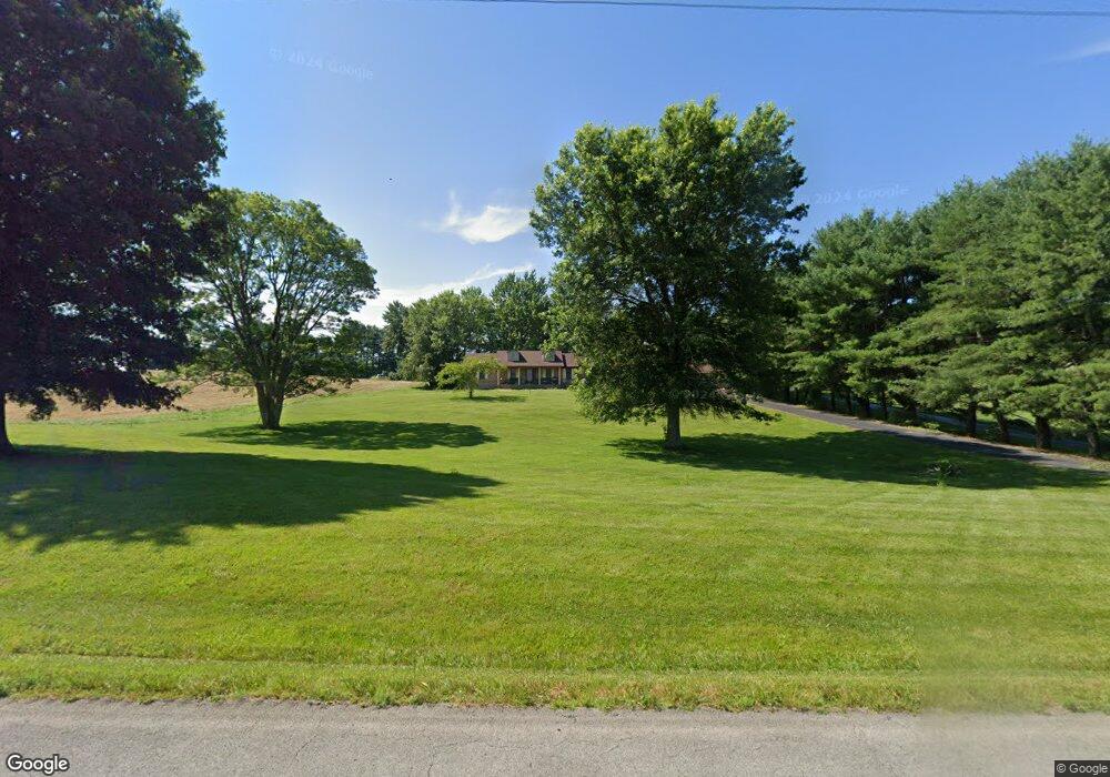
431 S Highway 619 Jamestown, KY 42629
Estimated Value: $165,000 - $256,931
3
Beds
1
Bath
1,400
Sq Ft
$156/Sq Ft
Est. Value
About This Home
This home is located at 431 S Highway 619, Jamestown, KY 42629 and is currently estimated at $218,233, approximately $155 per square foot. 431 S Highway 619 is a home located in Russell County with nearby schools including Russell County High School.
Ownership History
Date
Name
Owned For
Owner Type
Purchase Details
Closed on
Oct 31, 2023
Sold by
Verta Johnson Revocable Living Trust
Bought by
Artworks Realty Llc
Current Estimated Value
Purchase Details
Closed on
Nov 13, 2017
Sold by
Clark Billie
Bought by
Carnes Michael S and Carnes April D
Home Financials for this Owner
Home Financials are based on the most recent Mortgage that was taken out on this home.
Original Mortgage
$65,450
Interest Rate
3.83%
Mortgage Type
Purchase Money Mortgage
Purchase Details
Closed on
Jan 13, 2017
Sold by
Clark Billie
Bought by
Carnes Michael S and Carnes April D
Home Financials for this Owner
Home Financials are based on the most recent Mortgage that was taken out on this home.
Original Mortgage
$288,094
Interest Rate
4.08%
Mortgage Type
Purchase Money Mortgage
Purchase Details
Closed on
May 14, 2010
Sold by
Halsell Clifford Wayne and Halsell Lynda K Bell
Bought by
Carnes Michael and Carnes April
Create a Home Valuation Report for This Property
The Home Valuation Report is an in-depth analysis detailing your home's value as well as a comparison with similar homes in the area
Home Values in the Area
Average Home Value in this Area
Purchase History
| Date | Buyer | Sale Price | Title Company |
|---|---|---|---|
| Artworks Realty Llc | $45,000 | None Listed On Document | |
| Carnes Michael S | $77,000 | None Available | |
| Carnes Michael S | $150,000 | None Available | |
| Carnes Michael | $150,000 | None Available |
Source: Public Records
Mortgage History
| Date | Status | Borrower | Loan Amount |
|---|---|---|---|
| Previous Owner | Carnes Michael S | $65,450 | |
| Previous Owner | Carnes Michael S | $288,094 |
Source: Public Records
Tax History Compared to Growth
Tax History
| Year | Tax Paid | Tax Assessment Tax Assessment Total Assessment is a certain percentage of the fair market value that is determined by local assessors to be the total taxable value of land and additions on the property. | Land | Improvement |
|---|---|---|---|---|
| 2024 | $1,515 | $160,000 | $0 | $0 |
| 2023 | $1,550 | $160,000 | $0 | $0 |
| 2022 | $1,557 | $160,000 | $0 | $0 |
| 2021 | $1,494 | $150,000 | $0 | $0 |
| 2020 | $1,499 | $150,000 | $0 | $0 |
| 2019 | $1,497 | $150,000 | $0 | $0 |
| 2018 | $1,488 | $150,000 | $0 | $0 |
| 2017 | $1,480 | $150,000 | $0 | $0 |
| 2016 | $1,446 | $150,000 | $0 | $0 |
| 2015 | -- | $150,000 | $0 | $0 |
| 2013 | -- | $150,000 | $0 | $0 |
Source: Public Records
Map
Nearby Homes
- 120 W Cumberland Ave
- Lot 3 Kentucky 619
- 131 Jefferson St
- 198 W Cumberland Ave
- Lot 94 Bowman-Chrisman Rd
- 26 Twin Creek Loop
- 168 S Main St
- 353 W Cumberland Ave
- 394 W Cumberland Ave
- 00 S Main St
- 651 S Main St
- 554 N Main St
- Tract 4-5 Clayton Rd
- 807 W Cumberland Ave
- 1 Nelson Mill Rd
- 0 Nelson Mill Rd
- 444 Sparks Ave
- 373 Lawless Ln
- 412 Murphy Ln
- 190 Vine Dr
- 1425 S Highway 619
- 1377 S Highway 619
- 327 S Highway 619
- 176 S Highway 619
- 384 S Highway 619
- 334 S Highway 619
- 670 S Highway 619
- 6 Highway 619
- 136 S Old Highway 127
- 5&6 Caney Ln
- 14 Klg Dr
- 129 Ballard St
- 145 Ballard St
- 21 Ballard St
- 124 Ballard St
- 37 Ballard St
- 212 W Cumberland Ave
- 161 Ballard St
- 15 Ballard St
- 32 Ballard St