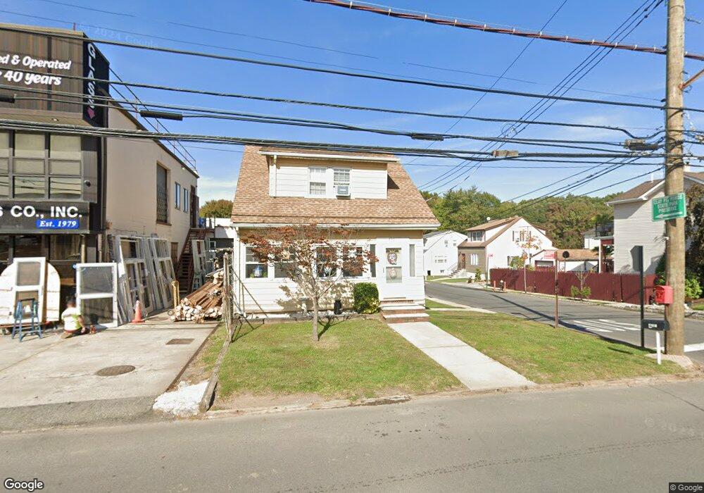
431 Sharrotts Rd Staten Island, NY 10309
Charleston NeighborhoodEstimated Value: $665,622 - $818,000
--
Bed
4
Baths
1,372
Sq Ft
$542/Sq Ft
Est. Value
About This Home
This home is located at 431 Sharrotts Rd, Staten Island, NY 10309 and is currently estimated at $743,906, approximately $542 per square foot. 431 Sharrotts Rd is a home located in Richmond County with nearby schools including P.S. 6 Cpl Allan F Kivlehan School, Is 34 Tottenville, and Tottenville High School.
Ownership History
Date
Name
Owned For
Owner Type
Purchase Details
Closed on
Dec 4, 1997
Sold by
Kish Margaret
Bought by
Misciagna Jeanette
Current Estimated Value
Home Financials for this Owner
Home Financials are based on the most recent Mortgage that was taken out on this home.
Original Mortgage
$100,000
Outstanding Balance
$16,784
Interest Rate
7.14%
Estimated Equity
$727,122
Create a Home Valuation Report for This Property
The Home Valuation Report is an in-depth analysis detailing your home's value as well as a comparison with similar homes in the area
Home Values in the Area
Average Home Value in this Area
Purchase History
| Date | Buyer | Sale Price | Title Company |
|---|---|---|---|
| Misciagna Jeanette | $125,000 | -- |
Source: Public Records
Mortgage History
| Date | Status | Borrower | Loan Amount |
|---|---|---|---|
| Open | Misciagna Jeanette | $100,000 |
Source: Public Records
Tax History Compared to Growth
Tax History
| Year | Tax Paid | Tax Assessment Tax Assessment Total Assessment is a certain percentage of the fair market value that is determined by local assessors to be the total taxable value of land and additions on the property. | Land | Improvement |
|---|---|---|---|---|
| 2025 | $5,677 | $43,920 | $7,340 | $36,580 |
| 2024 | $5,689 | $37,500 | $8,116 | $29,384 |
| 2023 | $5,418 | $28,373 | $7,052 | $21,321 |
| 2022 | $5,087 | $35,460 | $10,260 | $25,200 |
| 2021 | $5,533 | $37,380 | $10,260 | $27,120 |
| 2020 | $5,246 | $41,340 | $10,260 | $31,080 |
| 2019 | $4,879 | $35,940 | $10,260 | $25,680 |
| 2018 | $4,522 | $23,644 | $8,268 | $15,376 |
| 2017 | $4,520 | $23,644 | $8,135 | $15,509 |
| 2016 | $4,310 | $23,108 | $7,133 | $15,975 |
| 2015 | $3,649 | $21,819 | $6,795 | $15,024 |
| 2014 | $3,649 | $20,601 | $6,555 | $14,046 |
Source: Public Records
Map
Nearby Homes
- 97-99 Englewood Ave
- 0 Winant Place
- 60 Androvette St
- 54 Kreischer St
- 68 Tiller Ct
- 0 Veterans Rd E
- 155 Darnell Ln
- 71 Topside Ln
- 66 Pilot Ln
- 33 White Oak Ln
- 97 Crabtree Ave
- 117 Pembrook Loop
- 55 Quail Ln
- 59 Pembrook Loop
- 182 Pembrook Loop
- 50 Mallard Ln
- 37 Quail Ln
- 43 Chart Loop
- 119 Berkshire Ln
- 27 Sonia Ct
- 435 Sharrotts Rd
- 46 Carlin St
- 427 Sharrotts Rd
- 439 Sharrotts Rd
- 425 Sharrotts Rd
- 40 Carlin St
- 47 Carlin St
- 434 Sharrotts Rd
- 420 Sharrotts Rd
- 445 Sharrotts Rd
- 419 Sharrotts Rd
- 41 Carlin St
- 440 Sharrotts Rd
- 19 Lundsten Ave
- 0 Lundsten Ave
- 15 Lundsten Ave
- 32 Carlin St Unit B
- 32 Carlin St Unit A
- 141 Storer Ave
- 455 Sharrotts Rd