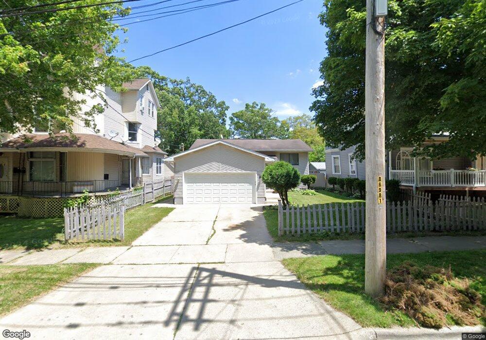
431 Steele Ct Waukegan, IL 60085
Estimated Value: $232,000 - $292,918
4
Beds
2
Baths
1,872
Sq Ft
$140/Sq Ft
Est. Value
About This Home
This home is located at 431 Steele Ct, Waukegan, IL 60085 and is currently estimated at $262,230, approximately $140 per square foot. 431 Steele Ct is a home located in Lake County with nearby schools including North Elementary School, Edith M Smith Middle School, and Waukegan High School.
Ownership History
Date
Name
Owned For
Owner Type
Purchase Details
Closed on
Jul 27, 1994
Sold by
Gust Martin A
Bought by
Jones Preston L and Jones Mattie
Current Estimated Value
Home Financials for this Owner
Home Financials are based on the most recent Mortgage that was taken out on this home.
Original Mortgage
$115,440
Interest Rate
8.53%
Mortgage Type
FHA
Create a Home Valuation Report for This Property
The Home Valuation Report is an in-depth analysis detailing your home's value as well as a comparison with similar homes in the area
Purchase History
| Date | Buyer | Sale Price | Title Company |
|---|---|---|---|
| Jones Preston L | $117,000 | -- |
Source: Public Records
Mortgage History
| Date | Status | Borrower | Loan Amount |
|---|---|---|---|
| Closed | Jones Preston L | $115,440 |
Source: Public Records
Tax History
| Year | Tax Paid | Tax Assessment Tax Assessment Total Assessment is a certain percentage of the fair market value that is determined by local assessors to be the total taxable value of land and additions on the property. | Land | Improvement |
|---|---|---|---|---|
| 2024 | $4,539 | $71,171 | $7,731 | $63,440 |
| 2023 | $1,456 | $64,136 | $6,922 | $57,214 |
| 2022 | $1,456 | $65,781 | $6,584 | $59,197 |
| 2021 | $4,956 | $58,537 | $5,874 | $52,663 |
| 2020 | $1,688 | $54,534 | $5,472 | $49,062 |
| 2019 | $1,829 | $49,971 | $5,014 | $44,957 |
| 2018 | $2,047 | $50,471 | $6,385 | $44,086 |
| 2017 | $2,118 | $44,653 | $5,649 | $39,004 |
| 2016 | $2,301 | $38,802 | $4,909 | $33,893 |
| 2015 | $2,515 | $34,729 | $4,394 | $30,335 |
| 2014 | $2,662 | $25,890 | $3,833 | $22,057 |
| 2012 | $3,860 | $28,049 | $4,153 | $23,896 |
Source: Public Records
Map
Nearby Homes
- 520 4th St
- 522 N Poplar St
- 702 Franklin St
- 121 N Park Ave
- 728 N Ash St
- 10 N Park Ave
- 705 Massena Ave
- 918 N Ash St
- 317 N Jackson St
- 634 W Ridgeland Ave
- 850 N Jackson St
- 1019 Edwards St
- 1124 Jackson Ct
- 746 Walnut St Unit 2E
- 714 Glen Rock Ave
- 1018 Massena Ave
- 205 S Park Ave
- 1126 N Ash St
- 619 N Butrick St
- 909 Highland Ave
Your Personal Tour Guide
Ask me questions while you tour the home.