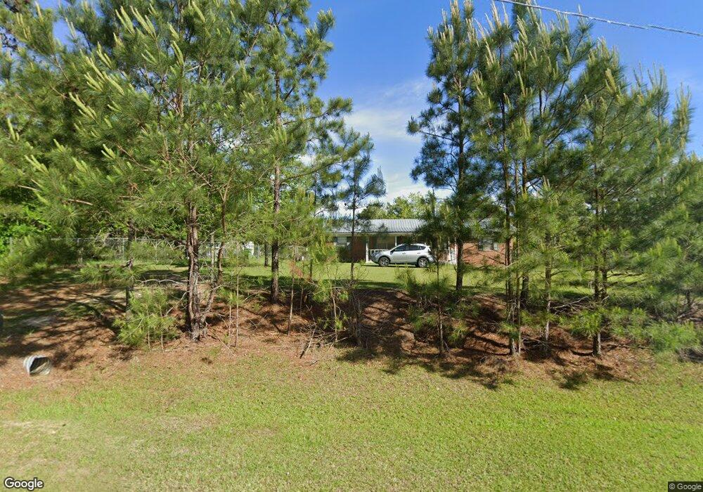
431 Swift Canteen Rd Moultrie, GA 31768
Estimated Value: $95,000 - $149,937
--
Bed
1
Bath
1,375
Sq Ft
$92/Sq Ft
Est. Value
About This Home
This home is located at 431 Swift Canteen Rd, Moultrie, GA 31768 and is currently estimated at $125,984, approximately $91 per square foot. 431 Swift Canteen Rd is a home located in Colquitt County with nearby schools including Doerun Elementary School, C.A. Gray Junior High School, and Willie J. Williams Middle School.
Ownership History
Date
Name
Owned For
Owner Type
Purchase Details
Closed on
Aug 1, 2017
Sold by
Drminey Wade
Bought by
Hornsby Debra Kay
Current Estimated Value
Purchase Details
Closed on
Jul 27, 2017
Sold by
Dorminey Gerald
Bought by
Hornsby Debra Kaye and Dorminey Wade
Purchase Details
Closed on
May 1, 2013
Sold by
Dorminey Gerald
Bought by
Dorminey Gerlad
Purchase Details
Closed on
Mar 23, 2001
Sold by
Dorminey Gerald
Bought by
Dorminey Evelyn
Create a Home Valuation Report for This Property
The Home Valuation Report is an in-depth analysis detailing your home's value as well as a comparison with similar homes in the area
Home Values in the Area
Average Home Value in this Area
Purchase History
| Date | Buyer | Sale Price | Title Company |
|---|---|---|---|
| Hornsby Debra Kay | -- | -- | |
| Hornsby Debra Kaye | -- | -- | |
| Dorminey Gerlad | -- | -- | |
| Dorminey Evelyn | -- | -- |
Source: Public Records
Tax History Compared to Growth
Tax History
| Year | Tax Paid | Tax Assessment Tax Assessment Total Assessment is a certain percentage of the fair market value that is determined by local assessors to be the total taxable value of land and additions on the property. | Land | Improvement |
|---|---|---|---|---|
| 2024 | $1,030 | $47,568 | $3,654 | $43,914 |
| 2023 | $449 | $38,330 | $3,654 | $34,676 |
| 2022 | $776 | $34,594 | $3,248 | $31,346 |
| 2021 | $673 | $29,719 | $3,248 | $26,471 |
| 2020 | $639 | $27,866 | $3,248 | $24,618 |
| 2019 | $677 | $26,630 | $3,248 | $23,382 |
| 2018 | $681 | $26,630 | $3,248 | $23,382 |
| 2017 | $650 | $25,871 | $2,652 | $23,219 |
| 2016 | $658 | $25,871 | $2,652 | $23,219 |
| 2015 | $664 | $25,871 | $2,652 | $23,219 |
Source: Public Records
Map
Nearby Homes
- 1791 Funston Sigsbee Rd
- 512 Hagin Still Rd
- 378 Old S R 33
- 102 Schley Church Rd
- 0 Sam Sells Rd
- 218 Gusty Rd
- 178 Cool Breeze Dr
- 00 Rossman Dairy Rd
- 372 Westwoods Dr Unit 21
- LOT 29 Merganser Ln
- LOT 32 Merganser Ln
- LOT 28 Merganser Ln
- LOT 26 Merganser Ln
- LOT 30 Merganser Ln
- LOT 39 Westwoods Dr
- LOT 1 Westwoods Dr
- LOT 23 Westwoods Dr
- LOT 35 Westwoods Dr
- LOT 36 Westwoods Dr
- LOT 37 Westwoods Dr
- 4496 Old Doerun Rd
- 4485 Old Doerun Rd
- 4482 Old Doerun Rd
- 404 Swift Canteen Rd
- 4465 Old Doerun Rd
- 349 Swift Canteen Rd
- 327 Swift Canteen Rd
- 0 Swift Canteen Rd
- 310 Swift Canteen Rd
- 4333 Old Doerun Rd
- 249 Swift Canteen Rd
- 4324 Old Doerun Rd
- 677 Swift Canteen Rd
- 3017 Ga Highway 133 N
- 4321 Old Doerun Rd
- 3234 Ga Highway 133 N
- 3114 Ga Highway 133 N
- 3050 Ga Highway 133 N
- 3139 Ga Highway 133 N
- 3095 Ga Highway 133 N