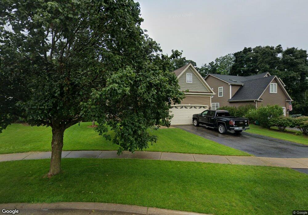
431 Teal Ct Grayslake, IL 60030
Estimated Value: $398,000 - $422,000
3
Beds
3
Baths
1,888
Sq Ft
$219/Sq Ft
Est. Value
About This Home
This home is located at 431 Teal Ct, Grayslake, IL 60030 and is currently estimated at $413,131, approximately $218 per square foot. 431 Teal Ct is a home located in Lake County with nearby schools including Frederick School, Prairieview School, and Grayslake Middle School.
Ownership History
Date
Name
Owned For
Owner Type
Purchase Details
Closed on
Apr 26, 2002
Sold by
Hidden Ponds Llc
Bought by
Burns Alan T and Burckhardt Anita L
Current Estimated Value
Home Financials for this Owner
Home Financials are based on the most recent Mortgage that was taken out on this home.
Original Mortgage
$150,000
Outstanding Balance
$64,718
Interest Rate
7.24%
Mortgage Type
Purchase Money Mortgage
Estimated Equity
$348,413
Create a Home Valuation Report for This Property
The Home Valuation Report is an in-depth analysis detailing your home's value as well as a comparison with similar homes in the area
Home Values in the Area
Average Home Value in this Area
Purchase History
| Date | Buyer | Sale Price | Title Company |
|---|---|---|---|
| Burns Alan T | $240,000 | First American Title |
Source: Public Records
Mortgage History
| Date | Status | Borrower | Loan Amount |
|---|---|---|---|
| Open | Burns Alan T | $150,000 |
Source: Public Records
Tax History Compared to Growth
Tax History
| Year | Tax Paid | Tax Assessment Tax Assessment Total Assessment is a certain percentage of the fair market value that is determined by local assessors to be the total taxable value of land and additions on the property. | Land | Improvement |
|---|---|---|---|---|
| 2024 | $12,032 | $114,183 | $16,961 | $97,222 |
| 2023 | $9,376 | $110,308 | $16,385 | $93,923 |
| 2022 | $9,376 | $84,182 | $16,151 | $68,031 |
| 2021 | $9,263 | $80,913 | $15,524 | $65,389 |
| 2020 | $9,257 | $76,987 | $14,771 | $62,216 |
| 2019 | $10,450 | $85,391 | $14,172 | $71,219 |
| 2018 | $10,062 | $82,983 | $18,117 | $64,866 |
| 2017 | $10,007 | $78,058 | $17,042 | $61,016 |
| 2016 | $9,601 | $72,056 | $15,732 | $56,324 |
| 2015 | $9,352 | $65,828 | $14,372 | $51,456 |
| 2014 | $8,830 | $62,215 | $10,597 | $51,618 |
| 2012 | $8,695 | $64,976 | $11,067 | $53,909 |
Source: Public Records
Map
Nearby Homes
- 390 N Garfield Blvd
- 146 Westerfield Place
- 10 Glen St
- 349 Brittain Ave
- 121 Park Ave
- 42 Village Station Ln
- 102 Soo Line Dr
- 533 Cannon Ball Dr
- 231 Lionel Dr
- 11 S Lake St
- 270 Lionel Dr
- 228 Station Park Cir
- 1191 Hummingbird Ln
- 1617 Albany St
- 101 Burton St
- 399 Banbury Ln
- 220 Bluff Ct
- 566 Chard Ct
- 23 Bobolink Dr
- 230 Burton St Unit 2
- 419 Teal Ct
- 443 Teal Ct
- 453 Teal Ct
- 452 Teal Ct
- 440 Teal Ct
- 370 N Garfield Blvd
- 354 N Garfield Blvd
- 354-3 Garfield Blvd
- 354-1 Garfield Blvd
- 354-2 Garfield Blvd
- 378 N Garfield Blvd
- 382 N Garfield Blvd
- 419 Bald Eagle Ct
- 455 E Belvidere Rd
- 8-12 E Belvidere Rd
- 393 Washington Blvd
- 436 Bald Eagle Ct
- 431 Bald Eagle Ct
- 319 Lincoln Ave
- 428 N Garfield Blvd