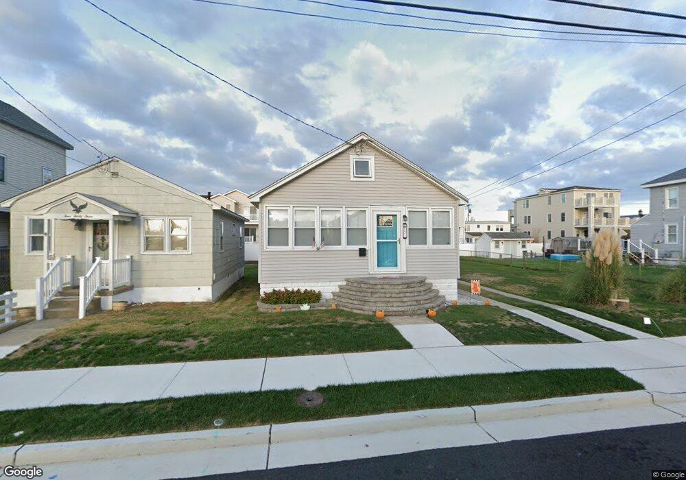
431 W Andrews Ave Wildwood, NJ 08260
The Wildwoods NeighborhoodEstimated Value: $394,000 - $486,824
3
Beds
1
Bath
920
Sq Ft
$497/Sq Ft
Est. Value
About This Home
This home is located at 431 W Andrews Ave, Wildwood, NJ 08260 and is currently estimated at $457,206, approximately $496 per square foot. 431 W Andrews Ave is a home located in Cape May County with nearby schools including Glenwood Avenue Elementary School, Wildwood Middle School, and Wildwood High School.
Ownership History
Date
Name
Owned For
Owner Type
Purchase Details
Closed on
Aug 15, 2014
Sold by
Carroll Harry V and Carroll Rosemarie T
Bought by
Palumbo James M
Current Estimated Value
Home Financials for this Owner
Home Financials are based on the most recent Mortgage that was taken out on this home.
Original Mortgage
$133,000
Outstanding Balance
$101,526
Interest Rate
4.14%
Mortgage Type
New Conventional
Estimated Equity
$355,680
Purchase Details
Closed on
Jun 13, 1981
Bought by
Carroll Harry and Carroll Rosemarie T
Create a Home Valuation Report for This Property
The Home Valuation Report is an in-depth analysis detailing your home's value as well as a comparison with similar homes in the area
Home Values in the Area
Average Home Value in this Area
Purchase History
| Date | Buyer | Sale Price | Title Company |
|---|---|---|---|
| Palumbo James M | $140,000 | None Available | |
| Carroll Harry | $52,000 | -- |
Source: Public Records
Mortgage History
| Date | Status | Borrower | Loan Amount |
|---|---|---|---|
| Open | Palumbo James M | $133,000 |
Source: Public Records
Tax History Compared to Growth
Tax History
| Year | Tax Paid | Tax Assessment Tax Assessment Total Assessment is a certain percentage of the fair market value that is determined by local assessors to be the total taxable value of land and additions on the property. | Land | Improvement |
|---|---|---|---|---|
| 2025 | $5,567 | $185,500 | $109,000 | $76,500 |
| 2024 | $5,567 | $185,500 | $109,000 | $76,500 |
| 2023 | $5,433 | $185,500 | $109,000 | $76,500 |
| 2022 | $5,253 | $185,500 | $109,000 | $76,500 |
| 2021 | $3,803 | $185,500 | $109,000 | $76,500 |
| 2020 | $4,990 | $185,500 | $109,000 | $76,500 |
| 2019 | $4,812 | $185,500 | $109,000 | $76,500 |
| 2018 | $4,636 | $185,500 | $109,000 | $76,500 |
| 2017 | $4,441 | $185,500 | $109,000 | $76,500 |
| 2016 | $4,311 | $185,500 | $109,000 | $76,500 |
| 2015 | $4,242 | $185,500 | $109,000 | $76,500 |
| 2014 | $4,192 | $185,500 | $109,000 | $76,500 |
Source: Public Records
Map
Nearby Homes
- 513 W Burk Ave
- 404 W Burk Ave Unit B 1st FLr
- 124 W Montgomery Ave
- 124 & 128 W Montgomery Ave
- 128 W Montgomery Ave
- 332 W Andrews Ave
- 504 W Baker Ave Unit B
- 504 W Baker Ave Unit A
- 508 W Baker Ave Unit A
- 506 W Baker Ave Unit B
- 506 W Baker Ave Unit A
- 422 W Hand Ave Unit 101
- 4517 Park Blvd
- 418 W Roberts Ave
- 4709 Park Blvd
- 326 W Roberts Ave Unit B
- 633 W Burk Ave
- 4701 Arctic Ave
- 153 W Taylor Ave Unit 6
- 153 W Taylor Ave Unit 3
- 433 W Andrews Ave
- 427 W Andrews Ave Unit 29
- 435 W Andrews Ave
- 425 W Andrews Ave
- 428 W Burk Ave
- 426 W Burk Ave
- 432 W Burk Ave Unit 432
- 423 W Andrews Ave
- 437 W Andrews Ave
- 424 W Burk Ave
- 419 W Andrews Ave
- 428 W Andrews Ave
- 4603 Susquehanna Ave
- 422 W Burk Ave
- 432 W Andrews Ave
- 4701 Susquehanna Ave
- 420 W Burk Ave
- 422 W Andrews Ave
- 417 W Andrews Ave
- 420 W Andrews Ave