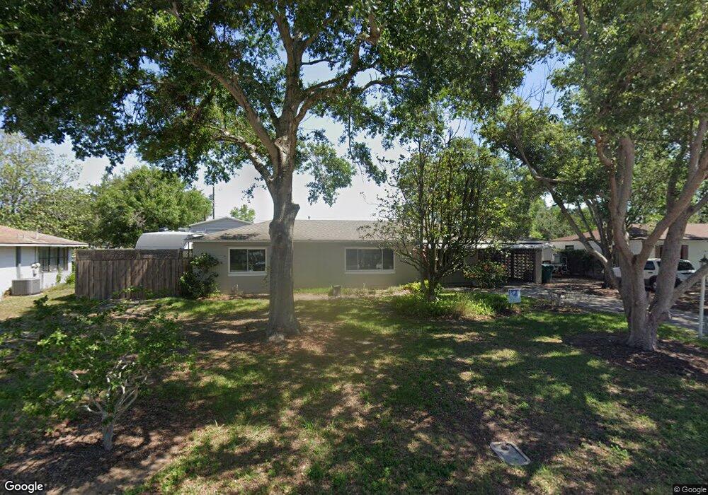
431 W Charlotte Ave Eustis, FL 32726
Estimated Value: $241,218 - $284,000
3
Beds
2
Baths
1,527
Sq Ft
$171/Sq Ft
Est. Value
About This Home
This home is located at 431 W Charlotte Ave, Eustis, FL 32726 and is currently estimated at $261,055, approximately $170 per square foot. 431 W Charlotte Ave is a home located in Lake County with nearby schools including Eustis Heights Elementary School, Eustis Middle School, and Eustis High School.
Ownership History
Date
Name
Owned For
Owner Type
Purchase Details
Closed on
Feb 19, 2025
Sold by
Shelton Byron D and Shelton Monica A
Bought by
Shelton Byron D and Shelton Monica A
Current Estimated Value
Purchase Details
Closed on
Dec 12, 1997
Sold by
Cousins Elbert B and Cousins Gertrude M
Bought by
Shelton Monica A and Shelton Byron D
Home Financials for this Owner
Home Financials are based on the most recent Mortgage that was taken out on this home.
Original Mortgage
$71,910
Interest Rate
7.19%
Mortgage Type
VA
Create a Home Valuation Report for This Property
The Home Valuation Report is an in-depth analysis detailing your home's value as well as a comparison with similar homes in the area
Home Values in the Area
Average Home Value in this Area
Purchase History
| Date | Buyer | Sale Price | Title Company |
|---|---|---|---|
| Shelton Byron D | $100 | None Listed On Document | |
| Shelton Byron D | $100 | None Listed On Document | |
| Shelton Monica A | $70,500 | -- |
Source: Public Records
Mortgage History
| Date | Status | Borrower | Loan Amount |
|---|---|---|---|
| Previous Owner | Shelton Monica A | $71,910 |
Source: Public Records
Tax History
| Year | Tax Paid | Tax Assessment Tax Assessment Total Assessment is a certain percentage of the fair market value that is determined by local assessors to be the total taxable value of land and additions on the property. | Land | Improvement |
|---|---|---|---|---|
| 2026 | $605 | $70,340 | -- | -- |
| 2025 | $590 | $68,430 | -- | -- |
| 2024 | $590 | $68,430 | -- | -- |
| 2023 | $590 | $64,510 | $0 | $0 |
| 2022 | $590 | $62,640 | $0 | $0 |
| 2021 | $527 | $52,827 | $0 | $0 |
| 2020 | $548 | $52,098 | $0 | $0 |
| 2019 | $548 | $50,927 | $0 | $0 |
| 2018 | $534 | $49,978 | $0 | $0 |
| 2017 | $514 | $48,951 | $0 | $0 |
| 2016 | $499 | $47,945 | $0 | $0 |
| 2015 | $503 | $47,612 | $0 | $0 |
| 2014 | $498 | $47,235 | $0 | $0 |
Source: Public Records
Map
Nearby Homes
- 630 Cedar Elm Ct
- 2266 Red Pine Ct
- 2258 Red Pine Ct
- 2254 Red Pine Ct
- 2250 Red Pine Ct
- 646 Cedar Elm Ct
- 650 Cedar Elm Ct
- 2295 Red Pine Ct
- 610 Mount Homer Rd
- 118 W Chesley Ave
- 1901 Prevatt St
- 102 W Saint Louis Ave
- 3451 Nettle Loop
- 3451 Nettle Loop
- 3447 Nettle Loop
- 3447 Nettle Loop
- 3445 Nettle Loop
- 3445 Nettle Loop
- 105 W Golf Links Ave
- 3441 Nettle Loop
- 501 W Charlotte Ave
- 421 W Charlotte Ave
- 511 W Charlotte Ave
- 411 W Charlotte Ave
- 500 W Charlotte Ave
- 420 W Charlotte Ave
- 510 W Charlotte Ave
- 410 W Charlotte Ave
- 401 W Charlotte Ave
- 521 W Charlotte Ave
- 431 W Seminole Ave
- 501 W Seminole Ave
- 421 W Seminole Ave
- 400 W Charlotte Ave
- 343 W Charlotte Ave
- 511 W Seminole Ave
- 411 W Seminole Ave
- 342 W Charlotte Ave
- 342 W Dicie Ave
Your Personal Tour Guide
Ask me questions while you tour the home.