431 Wacaser Rd Colquitt, GA 39837
Estimated Value: $206,000 - $215,000
3
Beds
1
Bath
1,336
Sq Ft
$158/Sq Ft
Est. Value
About This Home
This home is located at 431 Wacaser Rd, Colquitt, GA 39837 and is currently estimated at $210,500, approximately $157 per square foot. 431 Wacaser Rd is a home with nearby schools including Miller County Elementary School, Miller County Middle School, and Miller County High School.
Ownership History
Date
Name
Owned For
Owner Type
Purchase Details
Closed on
Mar 4, 2025
Sold by
Cook Middleton Shelley
Bought by
Henley Kimothy G
Current Estimated Value
Purchase Details
Closed on
Mar 4, 2022
Sold by
Cook Steve
Bought by
Middleton William Michael and Middleton Shelley Cook
Purchase Details
Closed on
May 24, 2016
Sold by
Brinson Roy T
Bought by
Cook Steve and Cook Vivian
Home Financials for this Owner
Home Financials are based on the most recent Mortgage that was taken out on this home.
Original Mortgage
$121,215
Interest Rate
3.66%
Mortgage Type
New Conventional
Purchase Details
Closed on
Sep 18, 2008
Sold by
Brinson Roy
Bought by
Cook Steve
Purchase Details
Closed on
Aug 14, 2003
Sold by
Cook Harold Oliver
Bought by
Brinson Roy T and Brinson Maggie M
Purchase Details
Closed on
Jan 11, 2002
Sold by
First State Bank Of Donalsonville
Bought by
Brinson Roy T and Brinson Maggie M
Create a Home Valuation Report for This Property
The Home Valuation Report is an in-depth analysis detailing your home's value as well as a comparison with similar homes in the area
Home Values in the Area
Average Home Value in this Area
Purchase History
| Date | Buyer | Sale Price | Title Company |
|---|---|---|---|
| Henley Kimothy G | $1,100,000 | -- | |
| Middleton William Michael | $650,000 | -- | |
| Cook Steve | $100,000 | -- | |
| Cook Steve | $90,000 | -- | |
| Brinson Roy T | $8,000 | -- | |
| Brinson Roy T | $85,000 | -- |
Source: Public Records
Mortgage History
| Date | Status | Borrower | Loan Amount |
|---|---|---|---|
| Previous Owner | Cook Steve | $121,215 |
Source: Public Records
Tax History Compared to Growth
Tax History
| Year | Tax Paid | Tax Assessment Tax Assessment Total Assessment is a certain percentage of the fair market value that is determined by local assessors to be the total taxable value of land and additions on the property. | Land | Improvement |
|---|---|---|---|---|
| 2024 | $1,913 | $95,362 | $54,983 | $40,379 |
| 2023 | $1,701 | $86,615 | $54,983 | $31,632 |
| 2022 | $1,458 | $77,502 | $54,983 | $22,519 |
| 2021 | $1,428 | $77,502 | $54,983 | $22,519 |
| 2020 | $1,414 | $77,502 | $54,983 | $22,519 |
| 2019 | $1,404 | $77,502 | $54,983 | $22,519 |
| 2018 | $2,858 | $77,502 | $54,983 | $22,519 |
| 2017 | $2,858 | $77,502 | $54,983 | $22,519 |
| 2016 | $1,357 | $77,501 | $54,983 | $22,518 |
| 2015 | -- | $40,098 | $17,487 | $22,611 |
| 2014 | -- | $40,098 | $17,487 | $22,611 |
| 2013 | -- | $40,378 | $17,487 | $22,890 |
Source: Public Records
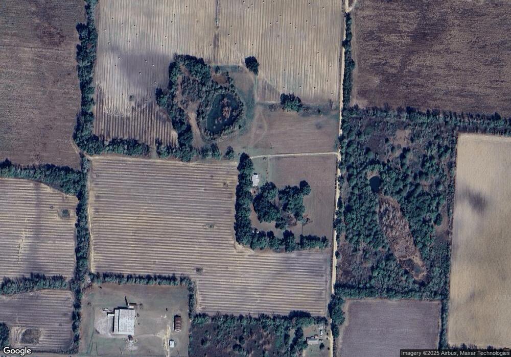
Map
Nearby Homes
- 1043 Wacaser Corner Rd
- 6514 Newton Hwy
- 6170 Newton Hwy
- 324 Privett Store Rd
- 6050 Newton Hwy
- 424 Grassy Flats Rd
- 149 County Line Church Rd
- 0 Johnny Freeman Rd
- 430 Cox Rd
- 1203 Bellview Rd
- 1545 Phillipsburg Rd
- 113 Crooked Oak Ln
- 2250 Milford Rd
- 000 Bellview Rd
- 2400 Roe Taylor Rd
- 2456 Colonial Rd
- 000 Thompson Town Rd
- 000 Georgia 200
- 721 E Crawford St
- 000 Phillipsburg Rd