431 Wheat Way Fairplay, CO 80440
Estimated Value: $544,825 - $634,000
3
Beds
2
Baths
1,325
Sq Ft
$443/Sq Ft
Est. Value
About This Home
This home is located at 431 Wheat Way, Fairplay, CO 80440 and is currently estimated at $586,956, approximately $442 per square foot. 431 Wheat Way is a home with nearby schools including Edith Teter Elementary School, South Park Middle School, and South Park High School.
Ownership History
Date
Name
Owned For
Owner Type
Purchase Details
Closed on
Jul 12, 2007
Sold by
Pearson Terry A and Pearson Judith A
Bought by
Navin Patrick W and Navin Peggy M
Current Estimated Value
Home Financials for this Owner
Home Financials are based on the most recent Mortgage that was taken out on this home.
Original Mortgage
$170,400
Outstanding Balance
$107,668
Interest Rate
6.71%
Mortgage Type
New Conventional
Estimated Equity
$479,288
Create a Home Valuation Report for This Property
The Home Valuation Report is an in-depth analysis detailing your home's value as well as a comparison with similar homes in the area
Home Values in the Area
Average Home Value in this Area
Purchase History
| Date | Buyer | Sale Price | Title Company |
|---|---|---|---|
| Navin Patrick W | $213,000 | Security Title |
Source: Public Records
Mortgage History
| Date | Status | Borrower | Loan Amount |
|---|---|---|---|
| Open | Navin Patrick W | $170,400 |
Source: Public Records
Tax History Compared to Growth
Tax History
| Year | Tax Paid | Tax Assessment Tax Assessment Total Assessment is a certain percentage of the fair market value that is determined by local assessors to be the total taxable value of land and additions on the property. | Land | Improvement |
|---|---|---|---|---|
| 2024 | $2,128 | $35,000 | $5,910 | $29,090 |
| 2023 | $2,128 | $35,000 | $5,910 | $29,090 |
| 2022 | $1,353 | $21,143 | $3,420 | $17,723 |
| 2021 | $1,323 | $21,750 | $3,520 | $18,230 |
| 2020 | $889 | $14,160 | $2,580 | $11,580 |
| 2019 | $861 | $14,160 | $2,580 | $11,580 |
| 2018 | $752 | $14,160 | $2,580 | $11,580 |
| 2017 | $678 | $12,110 | $2,550 | $9,560 |
| 2016 | $692 | $12,770 | $2,970 | $9,800 |
| 2015 | $706 | $12,770 | $2,970 | $9,800 |
| 2014 | $757 | $0 | $0 | $0 |
Source: Public Records
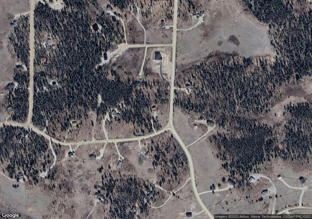
Map
Nearby Homes
- 212 Wheat Way
- 162 Thick Spike Rd
- 160 S Wheat Way
- 237 Foxtail Ct
- 175 Coil Dr
- 1430 Coil Dr
- 211 Foxtail Ct
- 0 Foxtail Ct Unit REC1607939
- 133 Foxtail Ct
- 103 Foxtail Ct
- 337 Busch Run
- 1224 Circle 73
- 1957 Coil Dr Unit 118
- 1957 Coil Dr
- 1110 Circle 73
- 1031 Bluestem Way
- 0 Kens Rd
- 188 June Grass Ct
- 0 Coil Dr Unit 40 REC2912411
- 364 Foxtail Dr
- 1677 Coil Dr Unit 72
- 1677 Coil Dr
- TBD Coil Dr
- 789 Coil Dr
- 0 Vine Rd Unit 893489
- 0 Vine Rd Unit 1103833
- 0 Vine Rd Unit 6484595
- 0 Vine Rd Unit 1772648
- 0 Vine Rd Unit REC8674644
- 0 Vine Rd Unit S1007704
- 0 Vine Rd Unit S1017546
- 0 Vine Rd Unit 1195417
- 0 Tbd Vine Rd Unit 751854
- 58 Muhly Ct
- 303 Wheat Way
- 366 Wheat Way
- 484 Wheat Way
- 0 Wheat Way Unit 4916304
- 0 Wheat Way Unit 861126
- 0 Wheat Way Unit 983060