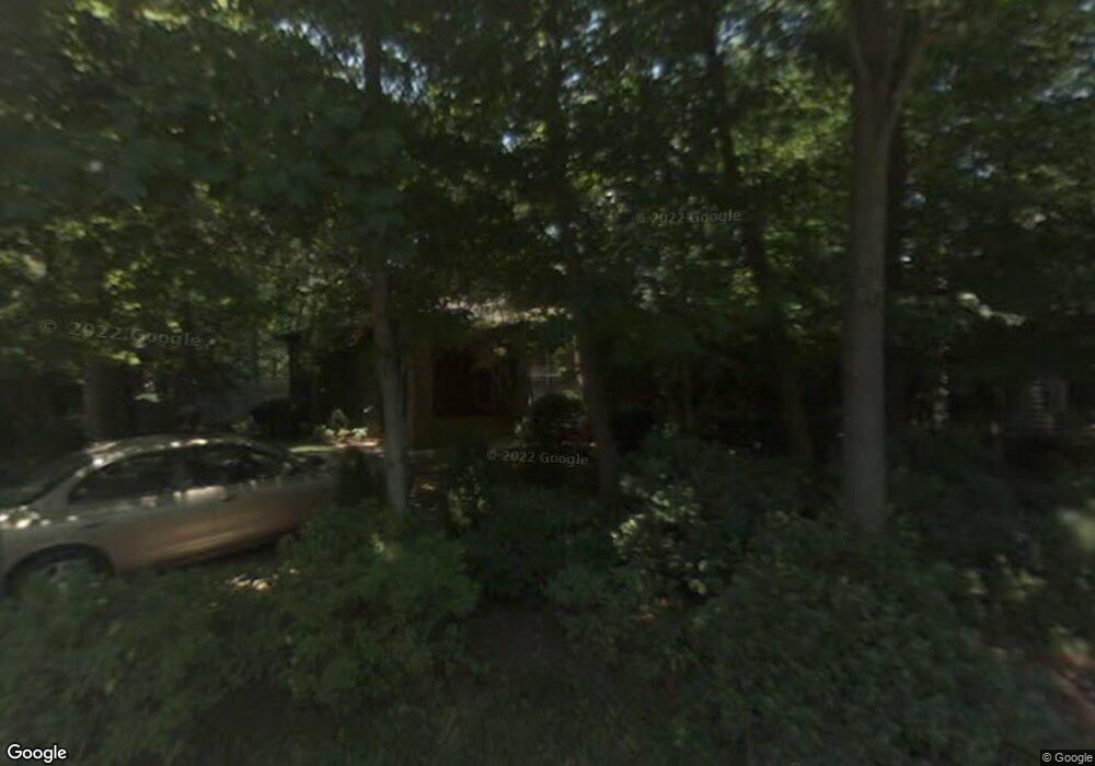
431 Windward Dr Davidson, NC 28036
Estimated Value: $720,000 - $833,000
3
Beds
2
Baths
1,545
Sq Ft
$496/Sq Ft
Est. Value
About This Home
This home is located at 431 Windward Dr, Davidson, NC 28036 and is currently estimated at $766,395, approximately $496 per square foot. 431 Windward Dr is a home located in Mecklenburg County with nearby schools including Davidson Elementary School, William Amos Hough High School, and Davidson Day School.
Ownership History
Date
Name
Owned For
Owner Type
Purchase Details
Closed on
Mar 19, 2014
Sold by
Herlocker Helen B
Bought by
Doran Robert Harold and Doran Sona Stepanian
Current Estimated Value
Home Financials for this Owner
Home Financials are based on the most recent Mortgage that was taken out on this home.
Original Mortgage
$226,000
Outstanding Balance
$163,732
Interest Rate
3.22%
Mortgage Type
Adjustable Rate Mortgage/ARM
Estimated Equity
$602,663
Purchase Details
Closed on
May 28, 1996
Sold by
Harrow Donald F and Harrow Lori P
Bought by
Herlocker Helen B
Create a Home Valuation Report for This Property
The Home Valuation Report is an in-depth analysis detailing your home's value as well as a comparison with similar homes in the area
Home Values in the Area
Average Home Value in this Area
Purchase History
| Date | Buyer | Sale Price | Title Company |
|---|---|---|---|
| Doran Robert Harold | $376,000 | None Available | |
| Herlocker Helen B | $183,500 | -- |
Source: Public Records
Mortgage History
| Date | Status | Borrower | Loan Amount |
|---|---|---|---|
| Open | Doran Robert Harold | $226,000 |
Source: Public Records
Tax History
| Year | Tax Paid | Tax Assessment Tax Assessment Total Assessment is a certain percentage of the fair market value that is determined by local assessors to be the total taxable value of land and additions on the property. | Land | Improvement |
|---|---|---|---|---|
| 2025 | -- | $613,300 | $325,000 | $288,300 |
| 2024 | -- | $613,300 | $325,000 | $288,300 |
| 2023 | $4,577 | $613,300 | $325,000 | $288,300 |
| 2022 | $3,370 | $353,600 | $190,000 | $163,600 |
| 2021 | $3,447 | $353,600 | $190,000 | $163,600 |
| 2020 | $3,447 | $353,600 | $190,000 | $163,600 |
| 2019 | $3,441 | $353,600 | $190,000 | $163,600 |
| 2018 | $3,620 | $289,100 | $160,000 | $129,100 |
| 2017 | $3,595 | $289,100 | $160,000 | $129,100 |
| 2016 | $3,592 | $289,100 | $160,000 | $129,100 |
| 2015 | $3,588 | $289,100 | $160,000 | $129,100 |
| 2014 | $3,586 | $0 | $0 | $0 |
Source: Public Records
Map
Nearby Homes
- 143 Park Forest St
- Linden 1827L Plan at Davidson Cottages
- Everly 1798L Plan at Davidson Cottages
- Maxwell 1830L Plan at Davidson Cottages
- Baker 1876M Plan at Davidson Cottages
- Knox 1928L Plan at Davidson Cottages
- Roosevelt 1829M Plan at Davidson Cottages
- Baker 1876L Plan at Davidson Cottages
- Roosevelt 1829L Plan at Davidson Cottages
- Norman 1916L Plan at Davidson Cottages
- 229 Davidson Gateway Dr
- 233 Davidson Gateway Dr
- 241 Davidson Gateway Dr
- 413 Delburg Mill Aly
- 417 Delburg Mill Aly
- 433 Delburg Mill Aly
- 245 Davidson Gateway Dr
- 437 Delburg Mill Aly
- 441 Delburg Mill Aly
- 1001 Central Park Cir Unit 1001
- 441 Windward Dr
- 417 Windward Dr
- 439 Windward Dr
- 440 Windward Dr
- 430 Windward Dr
- 449 Windward Dr
- 409 Windward Dr
- 420 Windward Dr
- 450 Windward Dr
- 140 Spinnaker Ct
- 457 Windward Dr
- 410 Windward Dr
- 145 Spinnaker Ct
- 130 Spinnaker Ct
- 405 Windward Dr
- 135 Spinnaker Ct
- 120 Spinnaker Ct
- 311 Jib Ct
- 125 Spinnaker Ct
- 310 Jib Ct