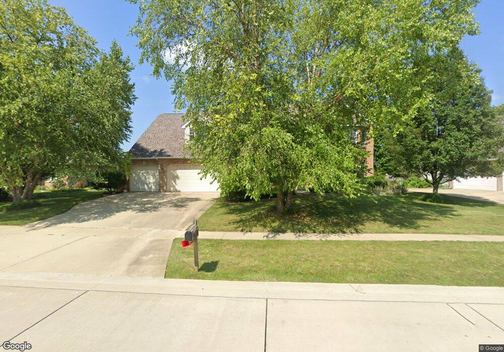
4310 Curtis Meadow Dr Champaign, IL 61822
Estimated Value: $579,000 - $793,000
--
Bed
--
Bath
--
Sq Ft
0.34
Acres
About This Home
This home is located at 4310 Curtis Meadow Dr, Champaign, IL 61822 and is currently estimated at $682,355. 4310 Curtis Meadow Dr is a home located in Champaign County with nearby schools including Centennial High School, Countryside School, and Swann Special Care Center-Elem/Secondary School.
Ownership History
Date
Name
Owned For
Owner Type
Purchase Details
Closed on
May 8, 2024
Sold by
Sonka Steven T and Sonka Karilyn M
Bought by
Sonka Steven T and Sonka Karilyn M
Current Estimated Value
Purchase Details
Closed on
Jan 23, 2006
Sold by
Cendant Mobility Financial Corp
Bought by
Sonka Steven T and Sonka Karilyn M
Purchase Details
Closed on
Jan 7, 2006
Sold by
Allison Brian R and Allison Barbara L
Bought by
Cendant Mobility Financial Corp
Purchase Details
Closed on
Jun 2, 2003
Sold by
Oschwald John R and Oschwald Cathy J
Bought by
Allison Brian R and Allison Barbara L
Home Financials for this Owner
Home Financials are based on the most recent Mortgage that was taken out on this home.
Original Mortgage
$200,000
Interest Rate
3.25%
Mortgage Type
Purchase Money Mortgage
Create a Home Valuation Report for This Property
The Home Valuation Report is an in-depth analysis detailing your home's value as well as a comparison with similar homes in the area
Home Values in the Area
Average Home Value in this Area
Purchase History
| Date | Buyer | Sale Price | Title Company |
|---|---|---|---|
| Sonka Steven T | -- | None Listed On Document | |
| Sonka Steven T | $561,000 | Allied | |
| Cendant Mobility Financial Corp | $561,000 | Allied | |
| Allison Brian R | $442,000 | -- |
Source: Public Records
Mortgage History
| Date | Status | Borrower | Loan Amount |
|---|---|---|---|
| Previous Owner | Allison Brian R | $200,000 |
Source: Public Records
Tax History Compared to Growth
Tax History
| Year | Tax Paid | Tax Assessment Tax Assessment Total Assessment is a certain percentage of the fair market value that is determined by local assessors to be the total taxable value of land and additions on the property. | Land | Improvement |
|---|---|---|---|---|
| 2024 | $14,377 | $182,550 | $33,720 | $148,830 |
| 2023 | $14,377 | $168,560 | $31,140 | $137,420 |
| 2022 | $13,636 | $157,240 | $29,050 | $128,190 |
| 2021 | $12,829 | $154,460 | $28,540 | $125,920 |
| 2020 | $12,706 | $152,930 | $28,260 | $124,670 |
| 2019 | $12,321 | $150,380 | $27,790 | $122,590 |
| 2018 | $12,301 | $145,380 | $27,790 | $117,590 |
| 2017 | $12,044 | $142,420 | $27,790 | $114,630 |
| 2016 | $11,039 | $142,420 | $27,790 | $114,630 |
| 2015 | $11,312 | $142,420 | $27,790 | $114,630 |
| 2014 | $11,226 | $142,420 | $27,790 | $114,630 |
| 2013 | $11,551 | $142,420 | $27,790 | $114,630 |
Source: Public Records
Map
Nearby Homes
- 4005 Pinecrest Dr
- 4703 W Kirby Ave
- 4700 Chestnut Grove Dr
- 1806 Bentbrook Dr
- 4406 Crossgate Dr
- 1904 Mullikin Dr
- 1504 Wyndemere Point Dr
- 4304 Creston Dr
- 4708 Horse Creek Dr
- 2004 Emerald Dr
- 1103 Prestwick Point
- 1621 English Oak Dr
- 1503 English Oak Dr
- 4002 Lakepoint Rd
- 5006 Chestnut Grove Dr
- 2202 Strand Dr
- 4309 Stonebridge Ct
- 3907 Aberdeen Dr
- 5017 Trey Blvd
- 5016 Trey Blvd
- 4308 Curtis Meadow Dr
- 4402 Curtis Meadow Dr
- 4306 Curtis Meadow Dr
- 4404 Curtis Meadow Dr
- 4307 Curtis Meadow Dr
- 1701 Brighton Ct
- 4305 Curtis Meadow Dr
- 4304 Curtis Meadow Dr
- 4406 Curtis Meadow Dr
- 1704 Brighton Ct
- 4405 Curtis Meadow Dr
- 4303 Curtis Meadow Dr
- 1703 Brighton Ct
- 4408 Curtis Meadow Dr
- 1706 Brighton Ct
- 4407 Curtis Meadow Dr
- 1705 Brighton Ct
- 4208 Curtis Meadow Dr
- 4410 Curtis Meadow Dr
- 1803 Foxborough Ct