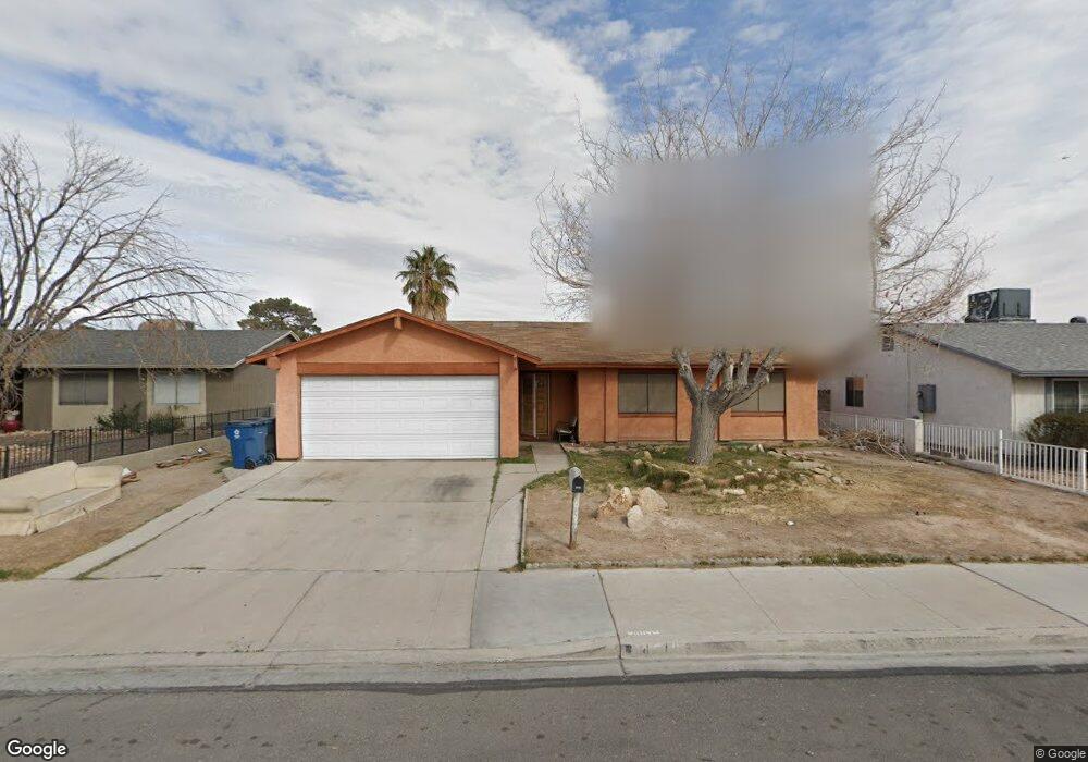
4310 E Wyoming Ave Las Vegas, NV 89104
Estimated Value: $346,381 - $414,000
3
Beds
2
Baths
1,467
Sq Ft
$258/Sq Ft
Est. Value
About This Home
This home is located at 4310 E Wyoming Ave, Las Vegas, NV 89104 and is currently estimated at $378,595, approximately $258 per square foot. 4310 E Wyoming Ave is a home located in Clark County with nearby schools including William E. Snyder Elementary School, Jerome Mack Middle School, and Chaparral High School.
Ownership History
Date
Name
Owned For
Owner Type
Purchase Details
Closed on
Jul 14, 2011
Sold by
Lund Robert A and Lund Bridget W
Bought by
Lund Bridget W
Current Estimated Value
Home Financials for this Owner
Home Financials are based on the most recent Mortgage that was taken out on this home.
Original Mortgage
$55,000
Interest Rate
4.37%
Mortgage Type
New Conventional
Create a Home Valuation Report for This Property
The Home Valuation Report is an in-depth analysis detailing your home's value as well as a comparison with similar homes in the area
Home Values in the Area
Average Home Value in this Area
Purchase History
| Date | Buyer | Sale Price | Title Company |
|---|---|---|---|
| Lund Bridget W | -- | Title Source Inc |
Source: Public Records
Mortgage History
| Date | Status | Borrower | Loan Amount |
|---|---|---|---|
| Closed | Lund Bridget W | $55,000 |
Source: Public Records
Tax History Compared to Growth
Tax History
| Year | Tax Paid | Tax Assessment Tax Assessment Total Assessment is a certain percentage of the fair market value that is determined by local assessors to be the total taxable value of land and additions on the property. | Land | Improvement |
|---|---|---|---|---|
| 2025 | $972 | $49,111 | $27,300 | $21,811 |
| 2024 | $901 | $49,111 | $27,300 | $21,811 |
| 2023 | $599 | $51,646 | $29,750 | $21,896 |
| 2022 | $834 | $45,034 | $24,500 | $20,534 |
| 2021 | $773 | $41,049 | $21,000 | $20,049 |
| 2020 | $714 | $41,041 | $20,650 | $20,391 |
| 2019 | $670 | $39,814 | $19,250 | $20,564 |
| 2018 | $639 | $35,849 | $15,750 | $20,099 |
| 2017 | $1,018 | $34,722 | $14,000 | $20,722 |
| 2016 | $599 | $31,809 | $10,150 | $21,659 |
| 2015 | $597 | $27,507 | $7,700 | $19,807 |
| 2014 | $578 | $21,724 | $5,600 | $16,124 |
Source: Public Records
Map
Nearby Homes
- 1892 Miner Way
- 4324 E Saint Louis Ave
- 4458 Skyview Dr
- 4496 Skyview Dr
- 4410 E Boston Ave
- 4055 E New York Ave
- 1761 Arden St
- 4214 E Baltimore Ave
- 4057 Olive St
- 4170 E Baltimore Ave
- 4067 E Colorado Ave
- 4590 E Saint Louis Ave
- 1485 Arden St
- 2278 Miner Way
- 4510 E Cleveland Ave
- 4120 E Cincinnati Ave
- 3887 Delling Ct
- 4746 Yuma Ave
- 45 N Lamb Blvd
- 2356 Grannis Ln
- 4320 E Wyoming Ave Unit B
- 4320 E Wyoming Ave Unit Rear Apartment Style
- 4300 E Wyoming Ave
- 4311 Sun Vista Dr
- 4301 Sun Vista Dr
- 4321 Sun Vista Dr
- 4321 Sun Vista Dr
- 4321 Sun Vista Dr
- 4290 E Wyoming Ave
- 4330 E Wyoming Ave
- 4291 Sun Vista Dr
- 4331 Sun Vista Dr
- 4311 E Wyoming Ave
- 4282 E Wyoming Ave
- 4327 E Wyoming Ave
- 4338 E Wyoming Ave
- 4283 Sun Vista Dr
- 4339 Sun Vista Dr
- 4295 E Wyoming Ave
- 4341 E Wyoming Ave