4310 Maynard Rd Delaware, OH 43015
Concord NeighborhoodEstimated Value: $498,000 - $593,000
4
Beds
2
Baths
2,112
Sq Ft
$259/Sq Ft
Est. Value
About This Home
This home is located at 4310 Maynard Rd, Delaware, OH 43015 and is currently estimated at $546,314, approximately $258 per square foot. 4310 Maynard Rd is a home located in Delaware County with nearby schools including Buckeye Valley High School.
Ownership History
Date
Name
Owned For
Owner Type
Purchase Details
Closed on
Oct 1, 1978
Bought by
Fling Jack L Terri L
Current Estimated Value
Create a Home Valuation Report for This Property
The Home Valuation Report is an in-depth analysis detailing your home's value as well as a comparison with similar homes in the area
Home Values in the Area
Average Home Value in this Area
Purchase History
| Date | Buyer | Sale Price | Title Company |
|---|---|---|---|
| Fling Jack L Terri L | $76,200 | -- |
Source: Public Records
Tax History
| Year | Tax Paid | Tax Assessment Tax Assessment Total Assessment is a certain percentage of the fair market value that is determined by local assessors to be the total taxable value of land and additions on the property. | Land | Improvement |
|---|---|---|---|---|
| 2024 | $4,932 | $151,030 | $72,700 | $78,330 |
| 2023 | $4,949 | $151,030 | $72,700 | $78,330 |
| 2022 | $3,935 | $110,780 | $45,430 | $65,350 |
| 2021 | $3,937 | $110,780 | $45,430 | $65,350 |
| 2020 | $3,962 | $110,780 | $45,430 | $65,350 |
| 2019 | $3,383 | $88,520 | $37,870 | $50,650 |
| 2018 | $3,436 | $88,520 | $37,870 | $50,650 |
| 2017 | $3,224 | $85,160 | $29,960 | $55,200 |
| 2016 | $3,086 | $85,160 | $29,960 | $55,200 |
| 2015 | $3,249 | $85,160 | $29,960 | $55,200 |
| 2014 | $3,064 | $85,160 | $29,960 | $55,200 |
| 2013 | $3,063 | $82,530 | $29,960 | $52,570 |
Source: Public Records
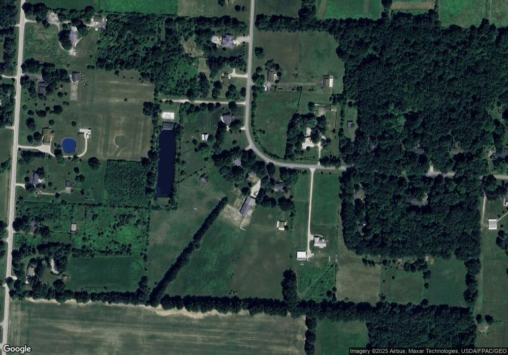
Map
Nearby Homes
- 3516 US Highway 42 S
- 2036 Ford Rd
- 3226 Bean Oller Rd
- 2028 Ford Rd
- 2004 Ford Rd
- 2000 Ford Rd
- 0 Clark-Shaw Rd Unit 225020834
- 3867 Crowberry Ct
- 5223 Thompson Ln
- 4910 State Route 257 S
- 0 Ford Rd Unit 2 225010580
- 0 Ford Rd Unit Tract 6 225010615
- 0 Ford Rd Unit 1 225010573
- 5507 Winterglow Dr
- 3441 Crimson Stone Dr
- 3102 Clark Shaw Rd
- 5786 Shadowfair Ln
- 3080 Clark Shaw Rd
- 3966 Colts Reign Dr
- 3761 Colts Reign Dr
- 4300 Maynard Rd
- 4328 Maynard Rd
- 4550 Maynard Rd
- 4264 Maynard Rd
- 4365 Maynard Rd
- 4368 Maynard Rd
- 4238 Maynard Rd
- 4212 Maynard Rd
- 4246 Maynard Rd
- 4420 Maynard Rd
- 4419 Maynard Rd
- 4180 Maynard Rd
- 4462 Maynard Rd
- 4461 Maynard Rd
- 4120 Maynard Rd
- 4095 Maynard Rd
- 4520 Maynard Rd
- 4519 Maynard Rd
- 4323 S Section Line Rd
- 4375 S Section Line Rd
Your Personal Tour Guide
Ask me questions while you tour the home.