Estimated Value: $355,985 - $401,000
4
Beds
2
Baths
1,540
Sq Ft
$251/Sq Ft
Est. Value
About This Home
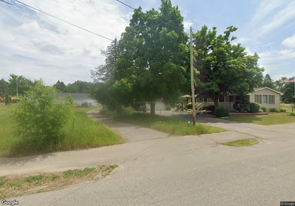
This home is located at 4311 17th St, Dorr, MI 49323 and is currently estimated at $386,996, approximately $251 per square foot. 4311 17th St is a home located in Allegan County with nearby schools including Wayland High School, Moline Christian School, and St. Stanislaus School.
Ownership History
Date
Name
Owned For
Owner Type
Purchase Details
Closed on
Dec 16, 2024
Sold by
Tilma Cathy
Bought by
Tilma Devon and Tilma Jazmyn
Current Estimated Value
Home Financials for this Owner
Home Financials are based on the most recent Mortgage that was taken out on this home.
Original Mortgage
$315,000
Outstanding Balance
$312,489
Interest Rate
6.72%
Mortgage Type
New Conventional
Estimated Equity
$74,507
Purchase Details
Closed on
Nov 14, 2019
Sold by
Tilma Cathy
Bought by
Tilma Cathy and The Tilma Family Trust
Purchase Details
Closed on
Sep 18, 2003
Sold by
Tilma Cathy and Geelhoed Cathy
Bought by
Sparks Glen A and Tilma Cathy
Home Financials for this Owner
Home Financials are based on the most recent Mortgage that was taken out on this home.
Original Mortgage
$104,500
Interest Rate
5.72%
Mortgage Type
Purchase Money Mortgage
Create a Home Valuation Report for This Property
The Home Valuation Report is an in-depth analysis detailing your home's value as well as a comparison with similar homes in the area
Home Values in the Area
Average Home Value in this Area
Purchase History
| Date | Buyer | Sale Price | Title Company |
|---|---|---|---|
| Tilma Devon | $350,000 | Chicago Title | |
| Tilma Cathy | -- | None Available | |
| Sparks Glen A | -- | -- |
Source: Public Records
Mortgage History
| Date | Status | Borrower | Loan Amount |
|---|---|---|---|
| Open | Tilma Devon | $315,000 | |
| Previous Owner | Sparks Glen A | $104,500 |
Source: Public Records
Tax History
| Year | Tax Paid | Tax Assessment Tax Assessment Total Assessment is a certain percentage of the fair market value that is determined by local assessors to be the total taxable value of land and additions on the property. | Land | Improvement |
|---|---|---|---|---|
| 2025 | $2,190 | $143,000 | $40,100 | $102,900 |
| 2024 | $1,933 | $132,600 | $33,800 | $98,800 |
| 2023 | $1,979 | $120,800 | $32,200 | $88,600 |
| 2022 | $1,933 | $105,100 | $28,900 | $76,200 |
| 2021 | $1,783 | $101,400 | $28,000 | $73,400 |
| 2020 | $1,695 | $100,600 | $28,900 | $71,700 |
| 2019 | $1,695 | $99,500 | $28,900 | $70,600 |
| 2018 | $1,660 | $87,200 | $28,900 | $58,300 |
| 2017 | $0 | $75,600 | $14,200 | $61,400 |
| 2016 | $0 | $59,800 | $15,600 | $44,200 |
| 2015 | -- | $59,800 | $15,600 | $44,200 |
| 2014 | -- | $54,800 | $15,600 | $39,200 |
| 2013 | -- | $50,300 | $13,500 | $36,800 |
Source: Public Records
Map
Nearby Homes
- 1829 Sunset Dr
- 1341 142nd Ave
- Lots A&B 142nd Ave
- 4035 Patti Rd
- Lot 11 Walnut Dale Dr
- 4069 21st St
- 4273 Highpoint Dr Unit 112
- 4269 Highpoint Dr Unit 114
- 4271 Highpoint Dr Unit 113
- 4294 Highpoint Dr Unit 103
- 1069 Sunnyside Dr
- 4279 Highpoint Dr
- 4255 Cloverfield Ct
- 4249 Butternut Dr
- 4245 Butternut Dr
- 4243 Butternut Dr
- Lot 120 Old Farm Dr
- Lot 131 Butternut Dr
- 4286 Butternut Dr
- 10780 Windward Ave SW
Your Personal Tour Guide
Ask me questions while you tour the home.