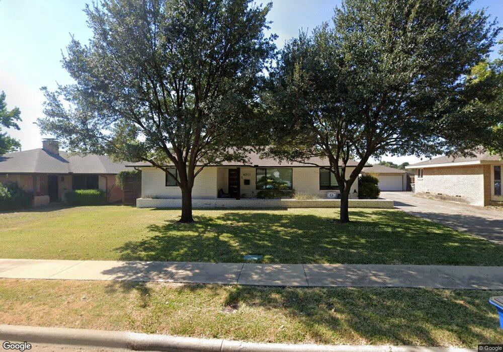
4311 Ashford Dr Dallas, TX 75214
Northeast Dallas NeighborhoodEstimated Value: $757,000 - $795,000
3
Beds
3
Baths
1,951
Sq Ft
$395/Sq Ft
Est. Value
About This Home
This home is located at 4311 Ashford Dr, Dallas, TX 75214 and is currently estimated at $771,603, approximately $395 per square foot. 4311 Ashford Dr is a home located in Dallas County with nearby schools including Lakewood Elementary School, J L Long Middle School, and Woodrow Wilson High School.
Ownership History
Date
Name
Owned For
Owner Type
Purchase Details
Closed on
Jul 26, 2005
Sold by
Buhrer Louella Williams and Hay Joyce Lasater
Bought by
Burgmeier John and Jones Betsy
Current Estimated Value
Home Financials for this Owner
Home Financials are based on the most recent Mortgage that was taken out on this home.
Original Mortgage
$179,920
Outstanding Balance
$93,845
Interest Rate
5.55%
Mortgage Type
Fannie Mae Freddie Mac
Estimated Equity
$677,758
Create a Home Valuation Report for This Property
The Home Valuation Report is an in-depth analysis detailing your home's value as well as a comparison with similar homes in the area
Home Values in the Area
Average Home Value in this Area
Purchase History
| Date | Buyer | Sale Price | Title Company |
|---|---|---|---|
| Burgmeier John | -- | Ctic |
Source: Public Records
Mortgage History
| Date | Status | Borrower | Loan Amount |
|---|---|---|---|
| Open | Burgmeier John | $179,920 | |
| Closed | Burgmeier John | $22,490 |
Source: Public Records
Tax History Compared to Growth
Tax History
| Year | Tax Paid | Tax Assessment Tax Assessment Total Assessment is a certain percentage of the fair market value that is determined by local assessors to be the total taxable value of land and additions on the property. | Land | Improvement |
|---|---|---|---|---|
| 2025 | $11,095 | $770,700 | $439,500 | $331,200 |
| 2024 | $11,095 | $675,980 | $270,000 | $405,980 |
| 2023 | $11,095 | $582,310 | $270,000 | $312,310 |
| 2022 | $14,560 | $582,310 | $270,000 | $312,310 |
| 2021 | $14,229 | $539,400 | $180,000 | $359,400 |
| 2020 | $14,633 | $539,400 | $180,000 | $359,400 |
| 2019 | $14,705 | $516,830 | $180,000 | $336,830 |
| 2018 | $14,054 | $516,830 | $180,000 | $336,830 |
| 2017 | $8,351 | $307,100 | $180,000 | $127,100 |
| 2016 | $8,351 | $307,100 | $180,000 | $127,100 |
| 2015 | $5,498 | $252,200 | $90,000 | $162,200 |
| 2014 | $5,498 | $245,020 | $90,000 | $155,020 |
Source: Public Records
Map
Nearby Homes
- 4323 Ashford Dr
- 6720 Braeburn Dr
- 6746 Braeburn Dr
- 6804 Santa Maria Ln
- 6757 Lakefair Cir
- 6612 E Mockingbird Ln
- 6802 Vada Dr
- 6742 Williamson Rd
- 6529 Saint Moritz Ave
- 6711 Vada Dr
- 6474 Sudbury Dr
- 6923 Inverness Ln
- 6728 Winton St
- 6446 Lange Cir
- 4010 Sperry St
- 6537 Patrick Dr
- 6932 Chantilly Ct
- 6984 Santa Barbara Dr
- 3932 Frontier Ln
- 6906 Redstart Ln
- 4317 Ashford Dr
- 4305 Ashford Dr
- 6735 E Mockingbird Ln
- 6704 Braeburn Dr
- 4403 Ashford Dr
- 6741 E Mockingbird Ln
- 6651 Lange Cir
- 6655 Lange Cir
- 6710 Braeburn Dr
- 6716 E Mockingbird Ln
- 6724 E Mockingbird Ln
- 6745 E Mockingbird Ln
- 6730 E Mockingbird Ln
- 6705 Braeburn Dr
- 6641 Lange Cir
- 6716 Braeburn Dr
- 6661 Lange Cir
- 6736 E Mockingbird Ln
- 6751 E Mockingbird Ln
- 6709 Braeburn Dr