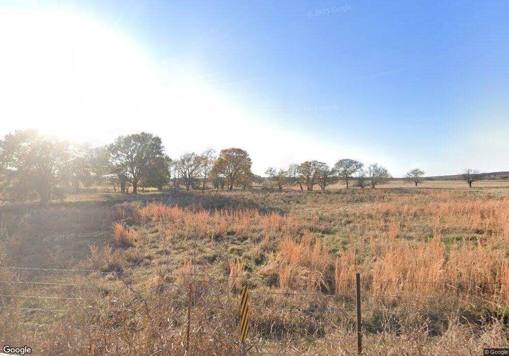
4311 Frink Rd McAlester, OK 74501
Estimated Value: $202,000 - $355,000
3
Beds
2
Baths
2,100
Sq Ft
$123/Sq Ft
Est. Value
About This Home
This home is located at 4311 Frink Rd, McAlester, OK 74501 and is currently estimated at $258,979, approximately $123 per square foot. 4311 Frink Rd is a home located in Pittsburg County with nearby schools including Mcalester Christian Academy, Lakewood Christian School, and McAlester Christian Academy.
Ownership History
Date
Name
Owned For
Owner Type
Purchase Details
Closed on
Sep 24, 2025
Sold by
Kerns Kenneth Dale and Kerns Dawn-Marie
Bought by
Davis Jessica
Current Estimated Value
Purchase Details
Closed on
Jul 10, 2025
Sold by
Kindred Donna Jean
Bought by
Kerns Kenneth and Kerns Robert
Purchase Details
Closed on
Jun 30, 2003
Sold by
Rott Jimmie
Bought by
Kinkead Donna
Purchase Details
Closed on
Dec 22, 2000
Sold by
Odaniels William
Bought by
Rott Jimmie
Purchase Details
Closed on
Oct 6, 1995
Sold by
Vancil
Bought by
O'Daniel
Create a Home Valuation Report for This Property
The Home Valuation Report is an in-depth analysis detailing your home's value as well as a comparison with similar homes in the area
Home Values in the Area
Average Home Value in this Area
Purchase History
| Date | Buyer | Sale Price | Title Company |
|---|---|---|---|
| Davis Jessica | -- | None Listed On Document | |
| Kerns Kenneth | -- | None Listed On Document | |
| Kerns Kenneth | -- | None Listed On Document | |
| Kerns Kenneth | -- | None Listed On Document | |
| Kerns Kenneth | -- | None Listed On Document | |
| Kinkead Donna | $125,000 | -- | |
| Rott Jimmie | $103,000 | -- | |
| O'Daniel | $79,000 | -- |
Source: Public Records
Tax History Compared to Growth
Tax History
| Year | Tax Paid | Tax Assessment Tax Assessment Total Assessment is a certain percentage of the fair market value that is determined by local assessors to be the total taxable value of land and additions on the property. | Land | Improvement |
|---|---|---|---|---|
| 2024 | $1,188 | $17,868 | $642 | $17,226 |
| 2023 | $1,188 | $17,347 | $642 | $16,705 |
| 2022 | $1,239 | $16,842 | $642 | $16,200 |
| 2021 | $1,230 | $16,689 | $642 | $16,047 |
| 2020 | $1,067 | $14,708 | $642 | $14,066 |
| 2019 | $1,038 | $14,279 | $642 | $13,637 |
| 2018 | $1,037 | $14,280 | $642 | $13,638 |
| 2017 | $1,092 | $14,804 | $642 | $14,162 |
| 2016 | $1,094 | $14,804 | $642 | $14,162 |
| 2015 | $1,035 | $14,804 | $642 | $14,162 |
| 2014 | $1,034 | $14,804 | $642 | $14,162 |
Source: Public Records
Map
Nearby Homes
- 0 Hulsey Prairie Unit 2524999
- 0 Hulsey Prairie Unit 2524853
- 00 S Us Highway 69
- 0 S Main St
- 2544 Shuman Rd
- 3101 Hardy Springs Rd
- 706 Cedar Ridge Dr
- 3526 Hardy Springs Rd
- 3001 Hardy Springs Rd
- 3100 Hardy Springs Rd
- 2705 Brookside Cir
- 2706 Brookside Cir
- 3201 Hardy Springs Rd
- 0000 Barnett Rd
- 157 Canna Ln
- 1904 Sandpiper St
- 0 Hardy Springs Cir
- 1905 Whippoorwill Ave
- 1910 Cardinal Ln
- 0 Finch Dr Unit 2529207
