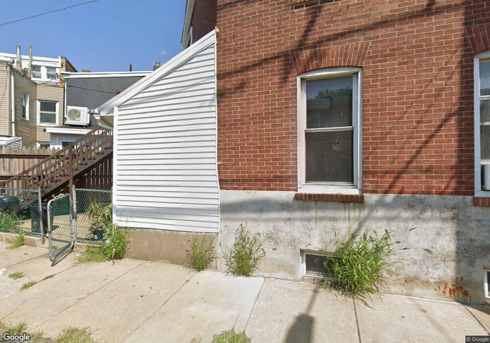
4311 Horrocks St Philadelphia, PA 19124
Frankford NeighborhoodEstimated Value: $125,000 - $161,000
3
Beds
1
Bath
1,020
Sq Ft
$139/Sq Ft
Est. Value
About This Home
This home is located at 4311 Horrocks St, Philadelphia, PA 19124 and is currently estimated at $141,684, approximately $138 per square foot. 4311 Horrocks St is a home located in Philadelphia County with nearby schools including John Marshall School, Harding Warren G Middle School, and Frankford High School.
Ownership History
Date
Name
Owned For
Owner Type
Purchase Details
Closed on
Oct 29, 2010
Sold by
Gorham Patrick J
Bought by
Correa Mary
Current Estimated Value
Home Financials for this Owner
Home Financials are based on the most recent Mortgage that was taken out on this home.
Original Mortgage
$86,091
Outstanding Balance
$57,736
Interest Rate
4.75%
Mortgage Type
FHA
Estimated Equity
$83,948
Create a Home Valuation Report for This Property
The Home Valuation Report is an in-depth analysis detailing your home's value as well as a comparison with similar homes in the area
Home Values in the Area
Average Home Value in this Area
Purchase History
| Date | Buyer | Sale Price | Title Company |
|---|---|---|---|
| Correa Mary | $87,250 | None Available |
Source: Public Records
Mortgage History
| Date | Status | Borrower | Loan Amount |
|---|---|---|---|
| Open | Correa Mary | $86,091 |
Source: Public Records
Tax History Compared to Growth
Tax History
| Year | Tax Paid | Tax Assessment Tax Assessment Total Assessment is a certain percentage of the fair market value that is determined by local assessors to be the total taxable value of land and additions on the property. | Land | Improvement |
|---|---|---|---|---|
| 2026 | $1,034 | $96,200 | $19,240 | $76,960 |
| 2025 | $1,034 | $96,200 | $19,240 | $76,960 |
| 2024 | $1,034 | $96,200 | $19,240 | $76,960 |
| 2023 | $1,034 | $73,900 | $14,780 | $59,120 |
| 2022 | $405 | $28,900 | $14,780 | $14,120 |
| 2021 | $742 | $0 | $0 | $0 |
| 2020 | $742 | $0 | $0 | $0 |
| 2019 | $713 | $0 | $0 | $0 |
| 2018 | $482 | $0 | $0 | $0 |
| 2017 | $901 | $0 | $0 | $0 |
| 2016 | $482 | $0 | $0 | $0 |
| 2015 | $461 | $0 | $0 | $0 |
| 2014 | -- | $64,400 | $12,308 | $52,092 |
| 2012 | -- | $6,208 | $776 | $5,432 |
Source: Public Records
Map
Nearby Homes
- 1208 Unity St
- 4431 Oakland St
- 1319 Church St
- 4328 Leiper St
- 1338-40 Sellers St
- 1348 Sellers St
- 1417 Unity St
- 1419 Unity St
- 1361 Sellers St
- 4461 Leiper St
- 1241 Orthodox St
- 4600 Horrocks St
- 1424 Sellers St
- 1337 Sellers St
- 4632 Oakland St
- 4626 Pilling St
- 4628 Pilling St
- 4254 O St
- 1501 Womrath St
- 4742 Frankford Ave
- 4309 Horrocks St
- 4318 E Wingohocking St
- 4307 Horrocks St
- 4316 E Wingohocking St
- 4301 05 Horrocks St
- 1206 Unity St
- 1202 Unity St
- 4324 E Wingohocking St
- 1159 Adams Ave
- 1200 Unity St
- 1204 Unity St
- 4304 Horrocks St
- 1210 Unity St
- 4306 Horrocks St
- 1212 Unity St
- 4321 E Wingohocking St
- 1214 Unity St
- 4308 Horrocks St
- 4315 E Wingohocking St
- 1198 Unity St