4311 Mayflower Dr Lafayette, IN 47909
Estimated Value: $295,000 - $321,000
--
Bed
--
Bath
1,792
Sq Ft
$171/Sq Ft
Est. Value
About This Home
This home is located at 4311 Mayflower Dr, Lafayette, IN 47909 and is currently estimated at $306,785, approximately $171 per square foot. 4311 Mayflower Dr is a home located in Tippecanoe County with nearby schools including Mayflower Mill Elementary School, Southwestern Middle School, and McCutcheon High School.
Ownership History
Date
Name
Owned For
Owner Type
Purchase Details
Closed on
Sep 30, 2005
Sold by
Butler Norman D and Butler Wilma L
Bought by
Dunbar Joe E and Dunbar Tinie A
Current Estimated Value
Home Financials for this Owner
Home Financials are based on the most recent Mortgage that was taken out on this home.
Original Mortgage
$135,000
Interest Rate
5.93%
Mortgage Type
Fannie Mae Freddie Mac
Purchase Details
Closed on
Nov 5, 2003
Sold by
Butler Norman D
Bought by
Butler Norman D and Butler Wilma L
Create a Home Valuation Report for This Property
The Home Valuation Report is an in-depth analysis detailing your home's value as well as a comparison with similar homes in the area
Home Values in the Area
Average Home Value in this Area
Purchase History
| Date | Buyer | Sale Price | Title Company |
|---|---|---|---|
| Dunbar Joe E | -- | Poelstra Title Company | |
| Butler Norman D | -- | -- |
Source: Public Records
Mortgage History
| Date | Status | Borrower | Loan Amount |
|---|---|---|---|
| Closed | Dunbar Joe E | $135,000 |
Source: Public Records
Tax History Compared to Growth
Tax History
| Year | Tax Paid | Tax Assessment Tax Assessment Total Assessment is a certain percentage of the fair market value that is determined by local assessors to be the total taxable value of land and additions on the property. | Land | Improvement |
|---|---|---|---|---|
| 2024 | $1,631 | $231,300 | $31,100 | $200,200 |
| 2023 | $1,549 | $222,500 | $31,100 | $191,400 |
| 2022 | $1,368 | $193,500 | $31,100 | $162,400 |
| 2021 | $1,277 | $182,400 | $31,100 | $151,300 |
| 2020 | $1,197 | $175,700 | $31,100 | $144,600 |
| 2019 | $1,030 | $163,400 | $31,100 | $132,300 |
| 2018 | $962 | $157,800 | $31,100 | $126,700 |
| 2017 | $949 | $154,700 | $31,100 | $123,600 |
| 2016 | $940 | $154,800 | $31,100 | $123,700 |
| 2014 | $853 | $145,400 | $31,100 | $114,300 |
| 2013 | $858 | $140,800 | $31,100 | $109,700 |
Source: Public Records
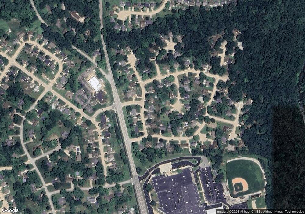
Map
Nearby Homes
- 214 Mccutcheon Dr
- 4108 Westwind Dr
- 122 Detchon Ct
- 4902 Osprey Ct
- 4901 Chickadee Dr
- 5127 Old Us Highway 231 S
- 5091 Sage St
- 603 West St
- 825 Ravenstone Dr
- 775 N Admirals Pointe Dr
- 5135 Sage St
- 857 Ravenstone Dr
- 880 Drydock Dr
- 4654 Flagship Ln
- 892 Ravenstone Dr
- 920 N Wagon Wheel Trail
- 0 W 500 S
- 4336 Admirals Cove Dr
- 934 Ravenstone Dr
- 1062 N Admirals Pointe Dr
- 4315 Mayflower Dr
- 4307 Mayflower Dr
- 30 Oak Hill Ct
- 40 Oak Hill Ct
- 4319 Mayflower Dr
- 4303 Mayflower Dr
- 4304 Mayflower Dr
- 108 Mccutcheon Dr
- 4208 Oak Hill Dr
- 20 Oak Hill Ct
- 4308 Mayflower Dr
- 4226 Mayflower Dr
- 112 Mccutcheon Dr
- 4310 Mayflower Dr
- 4212 Oak Hill Dr
- 50 Oak Hill Ct
- 4222 Mayflower Dr
- 116 Mccutcheon Dr
- 60 Oak Hill Ct
- 4203 Oak Hill Dr