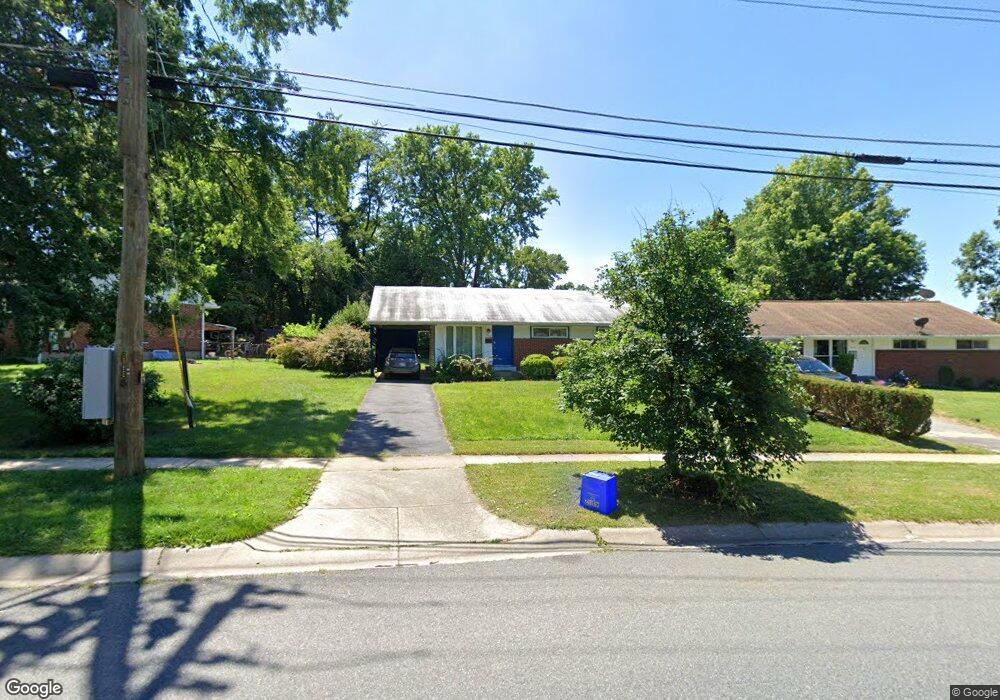
4312 Independence St Rockville, MD 20853
Estimated Value: $389,708 - $520,000
--
Bed
1
Bath
884
Sq Ft
$527/Sq Ft
Est. Value
About This Home
This home is located at 4312 Independence St, Rockville, MD 20853 and is currently estimated at $465,927, approximately $527 per square foot. 4312 Independence St is a home located in Montgomery County with nearby schools including Wheaton Woods Elementary School, Mackinac Island Public Schools, and Parkland Middle School.
Ownership History
Date
Name
Owned For
Owner Type
Purchase Details
Closed on
Jan 23, 2025
Sold by
Simmons Stanley W
Bought by
Simmons Stanley W and Nguyen Nancy Trang
Current Estimated Value
Purchase Details
Closed on
Feb 27, 2002
Sold by
Simmons Stanley W
Bought by
Simmons Shirley A Et Al Tr
Purchase Details
Closed on
Oct 24, 1995
Sold by
A Stanley W and A Simmons S
Bought by
Stanley W Simmons
Create a Home Valuation Report for This Property
The Home Valuation Report is an in-depth analysis detailing your home's value as well as a comparison with similar homes in the area
Home Values in the Area
Average Home Value in this Area
Purchase History
| Date | Buyer | Sale Price | Title Company |
|---|---|---|---|
| Simmons Stanley W | -- | None Listed On Document | |
| Simmons Stanley W | -- | None Listed On Document | |
| Simmons Shirley A Et Al Tr | -- | -- | |
| Stanley W Simmons | -- | -- |
Source: Public Records
Tax History Compared to Growth
Tax History
| Year | Tax Paid | Tax Assessment Tax Assessment Total Assessment is a certain percentage of the fair market value that is determined by local assessors to be the total taxable value of land and additions on the property. | Land | Improvement |
|---|---|---|---|---|
| 2025 | $4,837 | $381,900 | $224,800 | $157,100 |
| 2024 | $4,837 | $356,633 | $0 | $0 |
| 2023 | $3,970 | $331,367 | $0 | $0 |
| 2022 | $2,871 | $306,100 | $194,800 | $111,300 |
| 2021 | $2,638 | $298,800 | $0 | $0 |
| 2020 | $2,638 | $291,500 | $0 | $0 |
| 2019 | $2,538 | $284,200 | $178,500 | $105,700 |
| 2018 | $2,437 | $276,000 | $0 | $0 |
| 2017 | $2,798 | $267,800 | $0 | $0 |
| 2016 | -- | $259,600 | $0 | $0 |
| 2015 | $2,463 | $257,467 | $0 | $0 |
| 2014 | $2,463 | $255,333 | $0 | $0 |
Source: Public Records
Map
Nearby Homes
- 13401 Keating St
- 4315 Joplin Dr
- 4605 Iris St
- 12835 Littleton St
- 3945 Wendy Ln
- 3912 Palmira Ln
- 12707 Littleton St
- 12708 Danvers Ct
- 4820 Eades St
- 12704 Bushey Dr
- 4607 Bayne Ct
- 12130Est Veirs Mill Rd
- 13710 Arctic Ave
- 4106 Southend Rd
- 3608 Janet Rd
- 13206 May Ct
- 13005 Bluhill Rd
- 3503 Kayson St
- 13009 Valleywood Dr
- 13208 Holdridge Rd
- 4314 Independence St
- 4308 Elizabeth St
- 11104 Federal Ct
- 4306 Elizabeth St
- 11106 Federal Ct
- 11102 Federal Ct
- 4316 Independence St
- 13115 Parkland Dr
- 4304 Elizabeth St
- 13113 Parkland Dr
- 4313 Independence St
- 11107 Federal Ct
- 4317 Independence St
- 4323 Federal St
- 4302 Elizabeth St
- 11100 Federal Ct
- 4311 Independence St
- 4305 Elizabeth St
- 13111 Parkland Dr
- 4309 Independence St