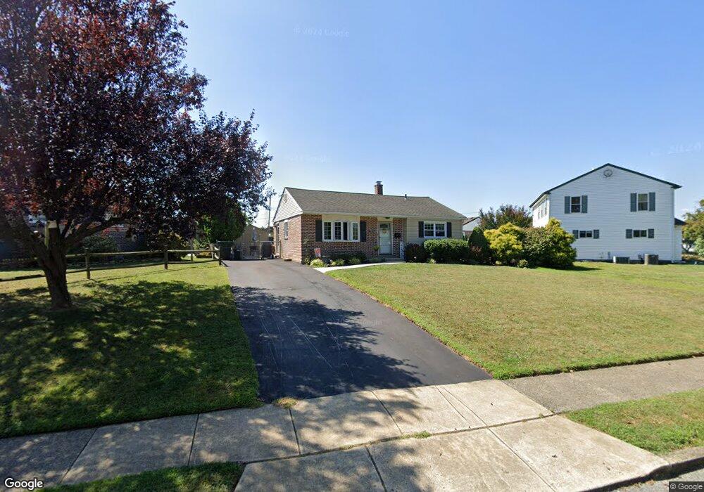
4312 Park Ln Aston, PA 19014
Estimated Value: $318,000 - $355,000
2
Beds
2
Baths
964
Sq Ft
$346/Sq Ft
Est. Value
About This Home
This home is located at 4312 Park Ln, Aston, PA 19014 and is currently estimated at $333,279, approximately $345 per square foot. 4312 Park Ln is a home located in Delaware County with nearby schools including The Christian Academy.
Ownership History
Date
Name
Owned For
Owner Type
Purchase Details
Closed on
Apr 3, 1998
Sold by
Miller Francis X and Miller Leona M
Bought by
Miller Leona M
Current Estimated Value
Purchase Details
Closed on
Nov 15, 1995
Sold by
Spennato Rennato and Spennato Renato
Bought by
Miller Francis X and Miller Leona M
Home Financials for this Owner
Home Financials are based on the most recent Mortgage that was taken out on this home.
Original Mortgage
$103,500
Outstanding Balance
$1,430
Interest Rate
7.47%
Estimated Equity
$331,849
Create a Home Valuation Report for This Property
The Home Valuation Report is an in-depth analysis detailing your home's value as well as a comparison with similar homes in the area
Home Values in the Area
Average Home Value in this Area
Purchase History
| Date | Buyer | Sale Price | Title Company |
|---|---|---|---|
| Miller Leona M | -- | -- | |
| Miller Francis X | $115,000 | Commonwealth Land Title Ins |
Source: Public Records
Mortgage History
| Date | Status | Borrower | Loan Amount |
|---|---|---|---|
| Open | Miller Francis X | $103,500 |
Source: Public Records
Tax History Compared to Growth
Tax History
| Year | Tax Paid | Tax Assessment Tax Assessment Total Assessment is a certain percentage of the fair market value that is determined by local assessors to be the total taxable value of land and additions on the property. | Land | Improvement |
|---|---|---|---|---|
| 2025 | $5,085 | $195,960 | $62,340 | $133,620 |
| 2024 | $5,085 | $195,960 | $62,340 | $133,620 |
| 2023 | $4,857 | $195,960 | $62,340 | $133,620 |
| 2022 | $4,684 | $195,960 | $62,340 | $133,620 |
| 2021 | $7,228 | $195,960 | $62,340 | $133,620 |
| 2020 | $4,168 | $102,060 | $38,820 | $63,240 |
| 2019 | $4,088 | $102,060 | $38,820 | $63,240 |
| 2018 | $3,915 | $102,060 | $0 | $0 |
| 2017 | $3,832 | $102,060 | $0 | $0 |
| 2016 | $560 | $102,060 | $0 | $0 |
| 2015 | $560 | $102,060 | $0 | $0 |
| 2014 | $560 | $102,060 | $0 | $0 |
Source: Public Records
Map
Nearby Homes
- 2105 N Bent Ln
- 107 Romaine Way
- 00 S Springhouse Ln
- 122 Julianna Way Unit 11
- 42 Kingston Terrace
- 4942 Monroe Dr
- 4930 Jackson Dr
- 0 Brookhaven & Creek Rd Unit PADE2084418
- 4270 Marianne Dr
- 423 Sir Galahad Dr
- 4181 Marianne Dr
- 280 Bridgewater Rd Unit D-4
- 3070 Concord Rd
- 4010 Powell Rd
- 40 Bunting Ln
- 1434 Powell Rd
- 1356 Adair Rd
- 3820 Powell Rd
- 1367 Adair Rd
- 1607 Powell Rd