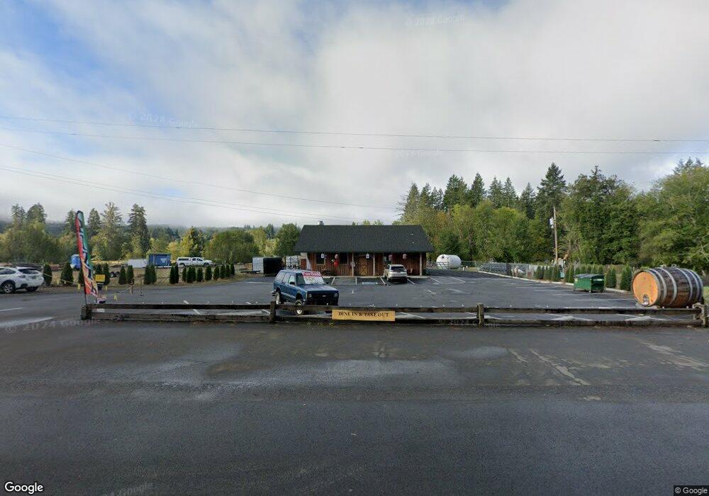
43128 U S 26 Seaside, OR 97138
Estimated Value: $369,013
--
Bed
--
Bath
2,500
Sq Ft
$148/Sq Ft
Est. Value
About This Home
This home is located at 43128 U S 26, Seaside, OR 97138 and is currently priced at $369,013, approximately $147 per square foot. 43128 U S 26 is a home located in Clatsop County with nearby schools including Jewell School.
Ownership History
Date
Name
Owned For
Owner Type
Purchase Details
Closed on
Feb 2, 2017
Sold by
Adamson Peter J
Bought by
Amseds Properties Llc
Current Estimated Value
Purchase Details
Closed on
Feb 1, 2017
Sold by
Adamson Peter J
Bought by
Amseds Properties Llc
Purchase Details
Closed on
Sep 4, 2013
Sold by
Adamson Nathan and Adamson Meredith
Bought by
Adamson Peter J
Purchase Details
Closed on
Jan 11, 2012
Sold by
Pitkin Stephen E and Pitkin Steve
Bought by
Adamson Nathan and Adamson Meredith
Create a Home Valuation Report for This Property
The Home Valuation Report is an in-depth analysis detailing your home's value as well as a comparison with similar homes in the area
Home Values in the Area
Average Home Value in this Area
Purchase History
| Date | Buyer | Sale Price | Title Company |
|---|---|---|---|
| Amseds Properties Llc | $225,000 | Ticor Title Ins Co | |
| Amseds Properties Llc | -- | None Available | |
| Adamson Peter J | -- | None Available | |
| Adamson Nathan | -- | Ticor Title Ins Co |
Source: Public Records
Tax History Compared to Growth
Tax History
| Year | Tax Paid | Tax Assessment Tax Assessment Total Assessment is a certain percentage of the fair market value that is determined by local assessors to be the total taxable value of land and additions on the property. | Land | Improvement |
|---|---|---|---|---|
| 2025 | $4,689 | $420,596 | -- | -- |
| 2024 | $4,555 | $408,347 | -- | -- |
| 2023 | $3,434 | $303,051 | $0 | $0 |
| 2022 | $3,344 | $294,225 | $0 | $0 |
| 2021 | $3,261 | $285,656 | $0 | $0 |
| 2020 | $3,164 | $277,337 | $0 | $0 |
| 2019 | $3,073 | $269,260 | $0 | $0 |
| 2018 | $2,936 | $261,418 | $0 | $0 |
| 2017 | $2,794 | $253,805 | $0 | $0 |
| 2016 | $2,533 | $246,413 | $62,437 | $183,976 |
| 2015 | $2,468 | $239,237 | $60,619 | $178,618 |
| 2014 | $2,325 | $232,270 | $0 | $0 |
Source: Public Records
Map
Nearby Homes
- 0 Red Bluff Rd
- 44493 Highway 26
- 82461 Maple Rd
- 0 Bear Rd Unit 653700348
- 0 Bear Rd Unit 25-903
- 82550 Vine Maple Dr
- 0 V L Vinemaple
- 00 Elderberry Rd
- 79779 Oregon 103
- 000 Oregon 103
- 0 Hamlet Rd
- 80788 Hamlet Rd
- 37555 Hauger Mountain Ln
- 0 Necanicum Hwy
- 37769 Highway 26
- 37769 Hwy
- 0 Saddle Mountain Rd
- 78488 Hwy 53
- 78506 Hwy 53
- 78488 Highway 53
- 43128 Hwy 26
- 43168 U S 26
- 0 Vl Highway 26 Unit 11185840
- 41298 Kampy Ln
- 41396 Kampy Ln
- 41324 Matt Kampy Rd
- 41396 Matt Kampy Rd
- 0 Matt Kampy Rd
- 41236 Kampy Ln
- 41214 Kampy Ln
- 41320 Kampy Ln
- 41134 Kampy Ln
- 42815 Highway 26
- 42850 Highway 26
- 41553 Mowick Ln
- 0 Mowick Ln
- 41516 Mowick Ln
- 42785 Sunset Hwy
- 81377 Lower Nehalem Rd
- 41757 Woodard Ln