4315 Holbrook Rd Randallstown, MD 21133
Estimated Value: $385,770 - $412,000
--
Bed
2
Baths
1,450
Sq Ft
$275/Sq Ft
Est. Value
About This Home
This home is located at 4315 Holbrook Rd, Randallstown, MD 21133 and is currently estimated at $398,943, approximately $275 per square foot. 4315 Holbrook Rd is a home located in Baltimore County with nearby schools including Hernwood Elementary School, Deer Park Middle Magnet School, and New Town High.
Ownership History
Date
Name
Owned For
Owner Type
Purchase Details
Closed on
Feb 20, 2002
Sold by
Jones Clarence
Bought by
Johnson Eric M and Johnson Lawanda R
Current Estimated Value
Purchase Details
Closed on
Feb 23, 1994
Sold by
Velle Alexander M
Bought by
Jones Clarence
Home Financials for this Owner
Home Financials are based on the most recent Mortgage that was taken out on this home.
Original Mortgage
$164,350
Interest Rate
6.96%
Purchase Details
Closed on
Sep 8, 1980
Sold by
Nickoles Edward F
Bought by
Velle Alexander M
Create a Home Valuation Report for This Property
The Home Valuation Report is an in-depth analysis detailing your home's value as well as a comparison with similar homes in the area
Home Values in the Area
Average Home Value in this Area
Purchase History
| Date | Buyer | Sale Price | Title Company |
|---|---|---|---|
| Johnson Eric M | $185,000 | -- | |
| Jones Clarence | $173,000 | -- | |
| Velle Alexander M | $72,900 | -- |
Source: Public Records
Mortgage History
| Date | Status | Borrower | Loan Amount |
|---|---|---|---|
| Previous Owner | Jones Clarence | $164,350 |
Source: Public Records
Tax History Compared to Growth
Tax History
| Year | Tax Paid | Tax Assessment Tax Assessment Total Assessment is a certain percentage of the fair market value that is determined by local assessors to be the total taxable value of land and additions on the property. | Land | Improvement |
|---|---|---|---|---|
| 2025 | $3,464 | $298,067 | -- | -- |
| 2024 | $3,464 | $282,100 | $94,800 | $187,300 |
| 2023 | $1,723 | $279,333 | $0 | $0 |
| 2022 | $3,382 | $276,567 | $0 | $0 |
| 2021 | $3,296 | $273,800 | $94,800 | $179,000 |
| 2020 | $3,296 | $266,967 | $0 | $0 |
| 2019 | $3,213 | $260,133 | $0 | $0 |
| 2018 | $3,130 | $253,300 | $94,800 | $158,500 |
| 2017 | $3,102 | $253,300 | $0 | $0 |
| 2016 | $2,764 | $253,300 | $0 | $0 |
| 2015 | $2,764 | $256,100 | $0 | $0 |
| 2014 | $2,764 | $256,100 | $0 | $0 |
Source: Public Records
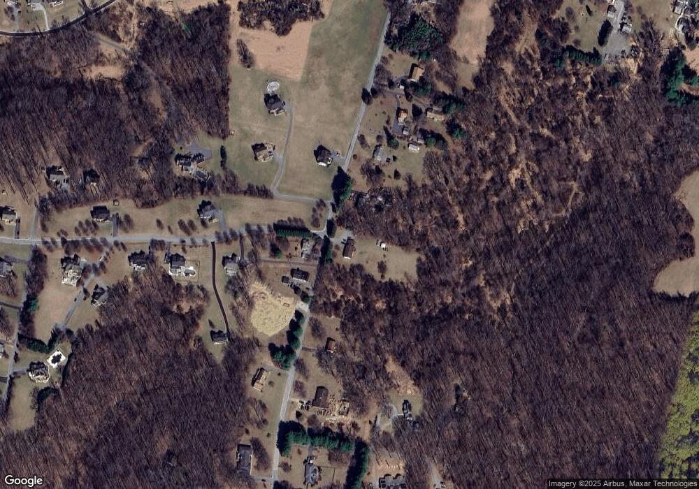
Map
Nearby Homes
- 10702 Liberty Rd
- 4107 Holbrook Rd
- 4133 Holbrook Rd
- 0 Steffeny Rd
- 4129 Holbrook Rd
- 3900 Falls Run Rd
- 11120 Liberty Rd
- 10520 Marriottsville Rd
- 4615 Deer Park Rd
- 10007 Lyons Mill Rd
- 11330 Liberty Rd
- 11 Liberty Ridge Ct
- 10301 Marriottsville Rd
- 38 Millstone Rd
- 9998 Tuscarora Rd
- 3618 Granite Rd
- 4264 Cayuga Rd
- 30 Sheraton Rd
- 5010 Wards Chapel Rd
- 3904 Wards Chapel Rd
- 4325 Holbrook Rd
- 4314 Holbrook Rd
- 4310 Holbrook Rd
- 4329 Holbrook Rd
- 4303 Holbrook Rd
- 10701 Chapeldale Rd
- 4320 Holbrook Rd
- 4337 Holbrook Rd
- 10700 Chapeldale Rd
- 4330 Holbrook Rd
- 4301 Holbrook Rd
- 4339 Holbrook Rd
- 4213 Holbrook Rd
- 10705 Chapeldale Rd
- 10703 Chapeldale Rd
- 4300 Holbrook Rd
- 4322 Holbrook Rd
- 10809 Stansfield Rd
- 10809 Stansfield Rd
- 4411 Holbrook Rd