4315 Limerick Rd Springfield, OH 45502
Estimated Value: $248,269 - $411,000
5
Beds
2
Baths
2,752
Sq Ft
$117/Sq Ft
Est. Value
About This Home
This home is located at 4315 Limerick Rd, Springfield, OH 45502 and is currently estimated at $321,567, approximately $116 per square foot. 4315 Limerick Rd is a home located in Clark County with nearby schools including Miami View Elementary School and Southeastern Senior High School.
Ownership History
Date
Name
Owned For
Owner Type
Purchase Details
Closed on
Nov 17, 2005
Sold by
Donnaker Frank E and Donnaker Brenda L
Bought by
Moore Matthew A and Moore Katherine S
Current Estimated Value
Home Financials for this Owner
Home Financials are based on the most recent Mortgage that was taken out on this home.
Original Mortgage
$130,410
Outstanding Balance
$70,736
Interest Rate
6.17%
Mortgage Type
Purchase Money Mortgage
Estimated Equity
$250,831
Purchase Details
Closed on
Mar 11, 1996
Sold by
Crew Leonard
Bought by
Donnaker Frank E and Donnaker Brenda J
Home Financials for this Owner
Home Financials are based on the most recent Mortgage that was taken out on this home.
Original Mortgage
$12,355
Interest Rate
7.05%
Mortgage Type
New Conventional
Purchase Details
Closed on
Jun 29, 1989
Create a Home Valuation Report for This Property
The Home Valuation Report is an in-depth analysis detailing your home's value as well as a comparison with similar homes in the area
Purchase History
We collect this data history from publicly available records. To have your information removed, we recommend requesting removal directly through your county’s website.
| Date | Buyer | Sale Price | Title Company |
|---|---|---|---|
| Moore Matthew A | $144,900 | -- | |
| Donnaker Frank E | $12,355 | -- | |
| -- | $23,500 | -- |
Source: Public Records
Mortgage History
We collect this data history from publicly available records. To have your information removed, we recommend requesting removal directly through your county’s website.
| Date | Status | Borrower | Loan Amount |
|---|---|---|---|
| Open | Moore Matthew A | $130,410 | |
| Closed | Donnaker Frank E | $12,355 |
Source: Public Records
Tax History
| Year | Tax Paid | Tax Assessment Tax Assessment Total Assessment is a certain percentage of the fair market value that is determined by local assessors to be the total taxable value of land and additions on the property. | Land | Improvement |
|---|---|---|---|---|
| 2025 | $2,465 | $78,690 | $13,620 | $65,070 |
| 2024 | $2,388 | $57,670 | $11,510 | $46,160 |
| 2023 | $2,388 | $57,670 | $11,510 | $46,160 |
| 2022 | $2,308 | $57,670 | $11,510 | $46,160 |
| 2021 | $1,855 | $41,130 | $8,160 | $32,970 |
| 2020 | $1,870 | $41,130 | $8,160 | $32,970 |
| 2019 | $1,895 | $41,130 | $8,160 | $32,970 |
| 2018 | $1,560 | $34,810 | $8,160 | $26,650 |
| 2017 | $1,555 | $34,811 | $8,162 | $26,649 |
| 2016 | $1,539 | $34,811 | $8,162 | $26,649 |
| 2015 | $1,403 | $30,741 | $7,420 | $23,321 |
| 2014 | $1,356 | $30,741 | $7,420 | $23,321 |
| 2013 | $1,358 | $30,741 | $7,420 | $23,321 |
Source: Public Records
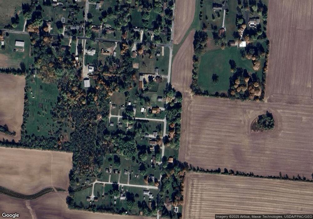
Map
Nearby Homes
- 4400 Limerick Rd
- 4766 Limerick Rd
- 5143 E Pitchin Rd
- 4975 Selma Pike
- 5100 N River Rd
- 5840 S Pitchin Rd
- 3475 Kenerly St
- Tract 1 Buffenbarger Rd
- Tract 2 Buffenbarger Rd
- Tract 6 Buffenbarger Rd
- 2164 Ridge Rd
- 2224 Cheviot Hills Dr
- 2930 E Leffel Ln
- 2215 Hackberry St
- 2210 Hackberry St
- 2211 Hackberry St
- 2208 Hackberry St
- 2209 Hackberry St
- 2207 Hackberry St
- 2203 Hackberry St
- 4291 Limerick Rd
- 3436 Jensvold Rd
- 4347 Limerick Rd
- 3437 Jensvold Rd
- 4300 Limerick Rd
- 3420 Jensvold Rd
- 4356 Limerick Rd
- 4263 Limerick Rd
- 4291 Limrick Rd
- 4373 Limerick Rd
- 3404 Jensvold Rd
- 4401 Limerick Rd
- 3333 E Pitchin Rd
- 3351 E Pitchin Rd
- 3315 E Pitchin Rd
- 4429 Limerick Rd
- 3419 Jensvold Rd
- 3403 Jensvold Rd
- 3263 E Pitchin Rd
- 3231 E Pitchin Rd
Your Personal Tour Guide
Ask me questions while you tour the home.