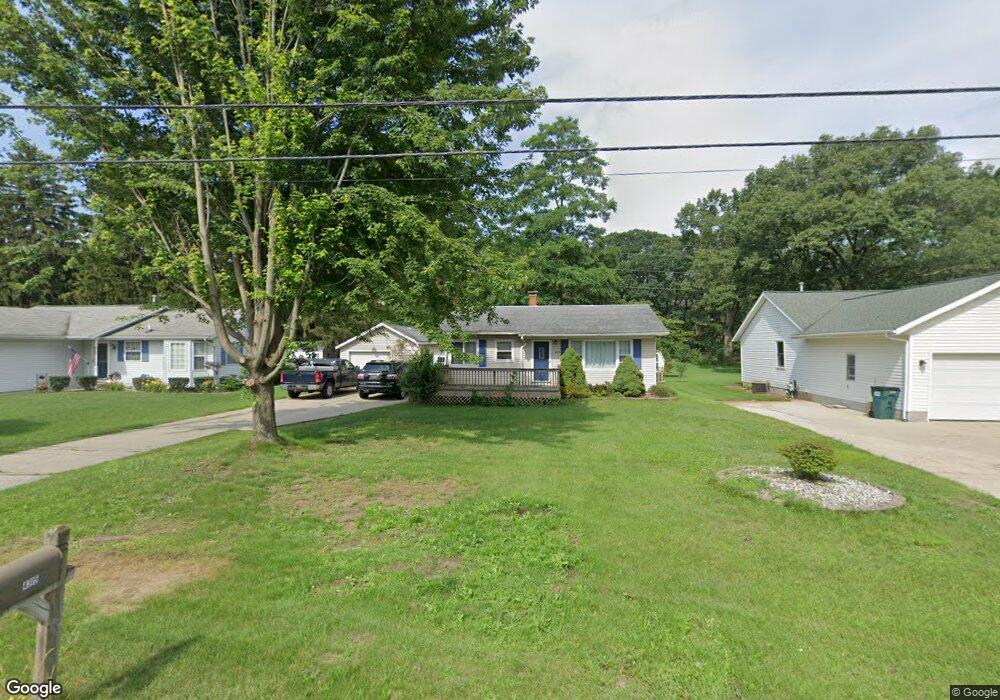
4315 Thompson St Norton Shores, MI 49441
Estimated Value: $204,000 - $232,000
2
Beds
1
Bath
896
Sq Ft
$244/Sq Ft
Est. Value
About This Home
This home is located at 4315 Thompson St, Norton Shores, MI 49441 and is currently estimated at $218,271, approximately $243 per square foot. 4315 Thompson St is a home located in Muskegon County with nearby schools including Mona Shores High School, Edgewood Elementary Academy, and Dr. Martin Luther King Academy.
Ownership History
Date
Name
Owned For
Owner Type
Purchase Details
Closed on
May 15, 2003
Sold by
Clausen Shane M and Clausen Amorette
Bought by
Shook Shane B and Carr Stacey L
Current Estimated Value
Home Financials for this Owner
Home Financials are based on the most recent Mortgage that was taken out on this home.
Original Mortgage
$94,240
Outstanding Balance
$41,435
Interest Rate
5.95%
Mortgage Type
FHA
Estimated Equity
$176,836
Create a Home Valuation Report for This Property
The Home Valuation Report is an in-depth analysis detailing your home's value as well as a comparison with similar homes in the area
Home Values in the Area
Average Home Value in this Area
Purchase History
| Date | Buyer | Sale Price | Title Company |
|---|---|---|---|
| Shook Shane B | $95,000 | -- |
Source: Public Records
Mortgage History
| Date | Status | Borrower | Loan Amount |
|---|---|---|---|
| Open | Shook Shane B | $94,240 |
Source: Public Records
Tax History Compared to Growth
Tax History
| Year | Tax Paid | Tax Assessment Tax Assessment Total Assessment is a certain percentage of the fair market value that is determined by local assessors to be the total taxable value of land and additions on the property. | Land | Improvement |
|---|---|---|---|---|
| 2025 | $1,772 | $89,200 | $0 | $0 |
| 2024 | $1,389 | $81,600 | $0 | $0 |
| 2023 | $1,326 | $72,600 | $0 | $0 |
| 2022 | $1,617 | $61,600 | $0 | $0 |
| 2021 | $1,571 | $56,100 | $0 | $0 |
| 2020 | $1,553 | $52,300 | $0 | $0 |
| 2019 | $1,525 | $47,900 | $0 | $0 |
| 2018 | $1,489 | $44,100 | $0 | $0 |
| 2017 | $1,455 | $43,800 | $0 | $0 |
| 2016 | $1,126 | $39,200 | $0 | $0 |
| 2015 | -- | $36,600 | $0 | $0 |
| 2014 | $1,352 | $36,900 | $0 | $0 |
| 2013 | -- | $35,900 | $0 | $0 |
Source: Public Records
Map
Nearby Homes
- 1130 Englewood Ave
- V/L 4535 Thompson Rd
- 4468 Spruce Ct
- 1068 Englewood Ave
- 4476 Cedar Ln Unit 54
- 4535 Thompson Rd
- 1067 Aspen Dr
- 1454 Airport Rd
- 4060 Buck St
- 1201 Shettler Rd
- 1065 Wilson Ct
- 945 Petrie Ave
- 4638 Lauren Dr
- 4677 Harvey St
- 4102 Highgate Rd
- 4769 Harvey St
- 3835 Molly Blvd
- 1404 E Ellis Rd
- 3920 Highgate Rd
- 3835 Ellen St
- 4323 Thompson St
- 4307 Thompson St
- 4329 Thompson St
- 4295 Thompson St
- 4285 Thompson St
- 4312 Thompson St
- 4312 Thompson Rd
- 4324 Thompson St
- 4343 Thompson St
- 4302 Thompson St
- 4328 Thompson St
- 1175 Englewood Ave
- 4271 Thompson St
- 4274 Thompson St
- 4332 Thompson St
- 1154 Vick Rd
- 1255 Wealthy Ave
- 1163 Englewood Ave
- 1276 Cherry Ave
- 1167 Vick Rd