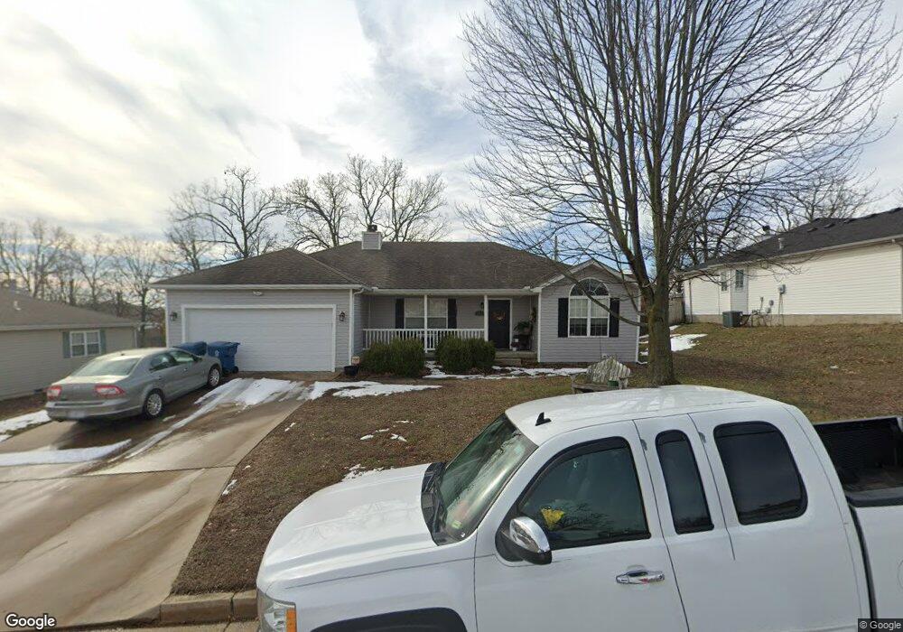
4316 W 27th St Joplin, MO 64804
Cedar Ridge NeighborhoodEstimated Value: $180,016 - $298,000
3
Beds
2
Baths
1,376
Sq Ft
$166/Sq Ft
Est. Value
About This Home
This home is located at 4316 W 27th St, Joplin, MO 64804 and is currently estimated at $229,004, approximately $166 per square foot. 4316 W 27th St is a home located in Jasper County with nearby schools including Carl Junction Primary School (K-1), Carl Junction Intermediate School, and Carl Junction Primary School (2-3).
Ownership History
Date
Name
Owned For
Owner Type
Purchase Details
Closed on
Aug 21, 2013
Sold by
Chiodo Daniel P
Bought by
Wilson Kirstie L
Current Estimated Value
Home Financials for this Owner
Home Financials are based on the most recent Mortgage that was taken out on this home.
Original Mortgage
$112,244
Outstanding Balance
$83,682
Interest Rate
4.53%
Mortgage Type
New Conventional
Estimated Equity
$145,322
Purchase Details
Closed on
May 15, 2012
Sold by
Chiodo Daniel P and Chiodo Deborah
Bought by
Chiodo Daniel P and Revocable Trust Agreement Of Daniel P Ch
Purchase Details
Closed on
Aug 20, 2010
Sold by
Gross Renee Sue
Bought by
Chiodo Daniel and Chiodo Deborah
Home Financials for this Owner
Home Financials are based on the most recent Mortgage that was taken out on this home.
Original Mortgage
$80,000
Interest Rate
4.54%
Mortgage Type
New Conventional
Create a Home Valuation Report for This Property
The Home Valuation Report is an in-depth analysis detailing your home's value as well as a comparison with similar homes in the area
Home Values in the Area
Average Home Value in this Area
Purchase History
| Date | Buyer | Sale Price | Title Company |
|---|---|---|---|
| Wilson Kirstie L | -- | None Available | |
| Chiodo Daniel P | -- | None Available | |
| Chiodo Daniel | -- | Fatco |
Source: Public Records
Mortgage History
| Date | Status | Borrower | Loan Amount |
|---|---|---|---|
| Open | Wilson Kirstie L | $112,244 | |
| Previous Owner | Chiodo Daniel | $80,000 |
Source: Public Records
Tax History
| Year | Tax Paid | Tax Assessment Tax Assessment Total Assessment is a certain percentage of the fair market value that is determined by local assessors to be the total taxable value of land and additions on the property. | Land | Improvement |
|---|---|---|---|---|
| 2025 | $900 | $19,800 | $2,870 | $16,930 |
| 2024 | $900 | $18,270 | $2,870 | $15,400 |
| 2023 | $900 | $18,270 | $2,870 | $15,400 |
| 2022 | $908 | $18,310 | $2,870 | $15,440 |
| 2021 | $903 | $18,310 | $2,870 | $15,440 |
| 2020 | $845 | $16,930 | $2,870 | $14,060 |
| 2019 | $846 | $16,930 | $2,870 | $14,060 |
| 2018 | $900 | $18,080 | $0 | $0 |
| 2017 | $903 | $18,080 | $0 | $0 |
| 2016 | $913 | $18,450 | $0 | $0 |
Source: Public Records
Map
Nearby Homes
- 4312 W 26th Place
- 4230 W 26th Place
- 4314 W 25th Place
- TBD S Black Cat Rd
- 4431 W 26th Place
- 4516 W 27th St
- 2825 Heartland Ave
- 4413 W 28th Place
- 4308 Par Ln
- 2930 Heartland Ave
- 4431 W 29th St
- 4404 W 31st St
- TBD-E Golf Links Rd Unit E
- 000 Golf Links Rd Unit Lot E
- 21st Iron Gates Rd
- 1834 S Black Cat Rd
- 2304 Iron Gates Rd
- 3110 Sunset Dr W
- 3345 W 20th St
- 3018 Jessica St
- 4316 W 27th St Unit 1
- 4326 W 27th St
- 4310 W 27th St
- 4319 W 27th Place
- 4313 W 27th Place
- 4315 W 27th St
- 4323 W 27th St
- 4309 W 27th St
- 4307 W 27th Place
- 4302 W 27th St
- 4331 W 27th St
- 4402 W 27th St
- 4301 W 27th St
- 4630 W 27th Place
- 4231 W 27th Place
- 4405 W 27th Place
- 4318 W 27th Place
- 4401 W 27th St
- 4318 W 27th Place
- 4318 W 26th Place
Your Personal Tour Guide
Ask me questions while you tour the home.