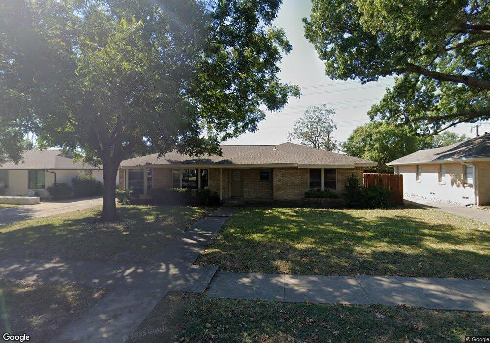
4317 Ashford Dr Dallas, TX 75214
Northeast Dallas NeighborhoodEstimated Value: $665,506 - $754,000
3
Beds
4
Baths
1,498
Sq Ft
$473/Sq Ft
Est. Value
About This Home
This home is located at 4317 Ashford Dr, Dallas, TX 75214 and is currently estimated at $708,627, approximately $473 per square foot. 4317 Ashford Dr is a home located in Dallas County with nearby schools including Lakewood Elementary School, J L Long Middle School, and Woodrow Wilson High School.
Ownership History
Date
Name
Owned For
Owner Type
Purchase Details
Closed on
Sep 30, 2005
Sold by
Mccormick Byron and Mccormick Karen A
Bought by
Green Ian
Current Estimated Value
Home Financials for this Owner
Home Financials are based on the most recent Mortgage that was taken out on this home.
Original Mortgage
$153,600
Interest Rate
6.24%
Mortgage Type
Fannie Mae Freddie Mac
Purchase Details
Closed on
Jan 10, 2000
Sold by
Isom Charles William
Bought by
Mccormick Karen A and Mccormick Byron
Home Financials for this Owner
Home Financials are based on the most recent Mortgage that was taken out on this home.
Original Mortgage
$106,400
Interest Rate
7.86%
Create a Home Valuation Report for This Property
The Home Valuation Report is an in-depth analysis detailing your home's value as well as a comparison with similar homes in the area
Home Values in the Area
Average Home Value in this Area
Purchase History
| Date | Buyer | Sale Price | Title Company |
|---|---|---|---|
| Green Ian | -- | Ctic | |
| Mccormick Karen A | -- | -- |
Source: Public Records
Mortgage History
| Date | Status | Borrower | Loan Amount |
|---|---|---|---|
| Previous Owner | Green Ian | $153,600 | |
| Previous Owner | Mccormick Karen A | $106,400 |
Source: Public Records
Tax History Compared to Growth
Tax History
| Year | Tax Paid | Tax Assessment Tax Assessment Total Assessment is a certain percentage of the fair market value that is determined by local assessors to be the total taxable value of land and additions on the property. | Land | Improvement |
|---|---|---|---|---|
| 2025 | $7,648 | $720,380 | $470,100 | $250,280 |
| 2024 | $7,648 | $569,510 | $300,000 | $269,510 |
| 2023 | $7,648 | $503,350 | $300,000 | $203,350 |
| 2022 | $12,586 | $503,350 | $300,000 | $203,350 |
| 2021 | $9,077 | $344,070 | $200,000 | $144,070 |
| 2020 | $9,334 | $344,070 | $200,000 | $144,070 |
| 2019 | $9,316 | $327,420 | $200,000 | $127,420 |
| 2018 | $8,903 | $327,420 | $200,000 | $127,420 |
| 2017 | $7,863 | $289,140 | $200,000 | $89,140 |
| 2016 | $7,863 | $289,140 | $200,000 | $89,140 |
| 2015 | $4,789 | $213,930 | $100,000 | $113,930 |
| 2014 | $4,789 | $214,480 | $100,000 | $114,480 |
Source: Public Records
Map
Nearby Homes
- 4323 Ashford Dr
- 6720 Braeburn Dr
- 6746 Braeburn Dr
- 6804 Santa Maria Ln
- 6757 Lakefair Cir
- 6612 E Mockingbird Ln
- 6802 Vada Dr
- 6742 Williamson Rd
- 6529 Saint Moritz Ave
- 6711 Vada Dr
- 6474 Sudbury Dr
- 6923 Inverness Ln
- 6728 Winton St
- 6446 Lange Cir
- 4010 Sperry St
- 6537 Patrick Dr
- 6932 Chantilly Ct
- 6984 Santa Barbara Dr
- 3932 Frontier Ln
- 6906 Redstart Ln
- 4311 Ashford Dr
- 4403 Ashford Dr
- 4305 Ashford Dr
- 6704 Braeburn Dr
- 6735 E Mockingbird Ln
- 6651 Lange Cir
- 6710 Braeburn Dr
- 6741 E Mockingbird Ln
- 6705 Braeburn Dr
- 6655 Lange Cir
- 6641 Lange Cir
- 4415 Ashford Dr
- 6709 Braeburn Dr
- 6745 E Mockingbird Ln
- 6716 Braeburn Dr
- 6635 Lange Cir
- 6716 E Mockingbird Ln
- 6661 Lange Cir
- 6724 E Mockingbird Ln
- 6715 Braeburn Dr