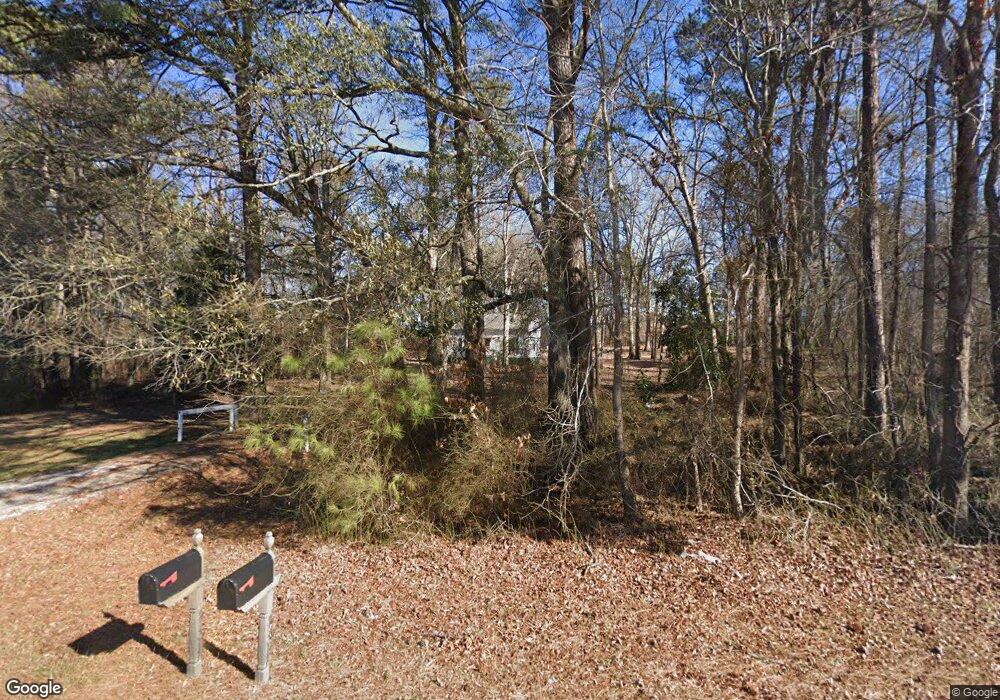
4317 Benson Rd Garner, NC 27529
Estimated Value: $314,000 - $3,683,000
--
Bed
1
Bath
968
Sq Ft
$2,536/Sq Ft
Est. Value
About This Home
This home is located at 4317 Benson Rd, Garner, NC 27529 and is currently estimated at $2,454,871, approximately $2,536 per square foot. 4317 Benson Rd is a home located in Wake County with nearby schools including Aversboro Elementary, North Garner Middle, and South Garner High.
Ownership History
Date
Name
Owned For
Owner Type
Purchase Details
Closed on
Jun 27, 2023
Sold by
Mount Zion Global Methodist Church
Bought by
Summit Church-Homestead Heightsbaptist Church
Current Estimated Value
Purchase Details
Closed on
May 1, 2023
Sold by
Mount Zion Methodist Church
Bought by
Mount Zion Global Methodist Church
Purchase Details
Closed on
Jan 31, 2023
Sold by
United Methodist Church Inc
Bought by
Mount Zion Global Methodist Church
Purchase Details
Closed on
Jul 2, 2019
Sold by
Sherratt William E and Sherratt Laura C
Bought by
Mount Zion United Methodist Church and Mount Zion Methodist Churchs
Create a Home Valuation Report for This Property
The Home Valuation Report is an in-depth analysis detailing your home's value as well as a comparison with similar homes in the area
Home Values in the Area
Average Home Value in this Area
Purchase History
| Date | Buyer | Sale Price | Title Company |
|---|---|---|---|
| Summit Church-Homestead Heightsbaptist Church | $3,250,000 | None Listed On Document | |
| Mount Zion Global Methodist Church | -- | None Listed On Document | |
| Mount Zion Global Methodist Church | -- | -- | |
| Mount Zion United Methodist Church | $100,000 | None Available |
Source: Public Records
Tax History Compared to Growth
Tax History
| Year | Tax Paid | Tax Assessment Tax Assessment Total Assessment is a certain percentage of the fair market value that is determined by local assessors to be the total taxable value of land and additions on the property. | Land | Improvement |
|---|---|---|---|---|
| 2025 | -- | $2,009,966 | $1,975,000 | $34,966 |
| 2024 | $12,502 | $2,009,966 | $1,975,000 | $34,966 |
| 2023 | $733 | $1,121,594 | $1,098,000 | $23,594 |
| 2022 | $681 | $1,121,594 | $1,098,000 | $23,594 |
| 2021 | $663 | $1,121,594 | $1,098,000 | $23,594 |
| 2020 | $652 | $1,121,594 | $1,098,000 | $23,594 |
| 2019 | $630 | $1,031,419 | $1,013,250 | $18,169 |
| 2018 | $585 | $1,031,419 | $1,013,250 | $18,169 |
| 2017 | $555 | $1,031,419 | $1,013,250 | $18,169 |
| 2016 | $0 | $1,031,419 | $1,013,250 | $18,169 |
| 2015 | -- | $1,182,676 | $1,165,000 | $17,676 |
| 2014 | -- | $1,182,676 | $1,165,000 | $17,676 |
Source: Public Records
Map
Nearby Homes
- 106 Village Ct
- 5521 Fantasy Moth Dr
- 114 Boone Trail
- 113 Hogan Dr
- 171 Davelyn Ct
- 1004 Snow Peak Ct
- 15 Crest Cir
- 35 Crosby Ln
- 267 Dando St
- 198 Outwater Ridge Dr
- 107 Marsh Creek Dr
- 225 Marsh Creek Dr
- 354 Dando St
- 184 Marsh Creek Dr
- 1559 Upchurch Woods Dr
- 511 Summerwind Plantation Dr
- 6408 Glen Brack Ct
- 230 Nutmeg Ln
- 170 Sallyport Ct
- 102 Dandy Flush Ct
- 6909 Woodhurst Dr Unit 24
- 6909 Woodhurst Dr
- 4320 Benson Rd
- 6908 Woodhurst Dr Unit 1
- 6908 Woodhurst Dr
- 4229 Benson Rd Unit A
- 1004 Brasnoor Ln
- 1004 Brasnoor Ln Unit 20
- 1000 Rodie Ct
- 6913 Woodhurst Dr
- 6913 Woodhurst Dr Unit 23
- 6912 Woodhurst Dr
- 6912 Woodhurst Dr Unit 2
- 1004 Rodie Ct
- 1004 Rodie Ct Unit 3
- 1004 Rodie Ct Unit 3
- 1008 Brasnoor Ln
- 1008 Brasnoor Ln Unit 21
- 6905 Woodhurst Dr
- 0 Woodhurst Dr Unit 1708829
