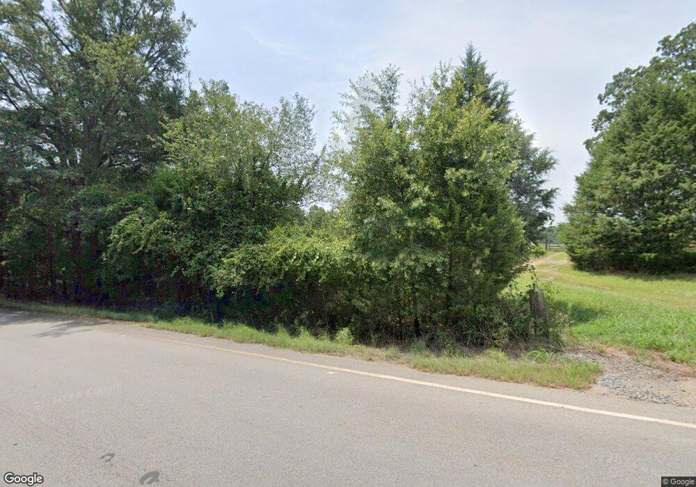
4317 Highway 100 Greenville, GA 30222
Estimated Value: $400,000 - $615,026
2
Beds
3
Baths
1,576
Sq Ft
$322/Sq Ft
Est. Value
About This Home
This home is located at 4317 Highway 100, Greenville, GA 30222 and is currently estimated at $507,513, approximately $322 per square foot. 4317 Highway 100 is a home with nearby schools including George E. Washington Elementary School.
Ownership History
Date
Name
Owned For
Owner Type
Purchase Details
Closed on
Apr 19, 2024
Sold by
Hires John R
Bought by
Hires John R Tr and Hires Keith L Tr
Current Estimated Value
Purchase Details
Closed on
Dec 19, 2019
Sold by
Hires John R
Bought by
Gable Paul E
Purchase Details
Closed on
Dec 1, 1989
Sold by
Hires John and Hires Joanne
Bought by
Hires Joanne Keith
Purchase Details
Closed on
Dec 30, 1984
Sold by
Hornsby Jacqueline K
Bought by
Hires John and Hires Joanne
Purchase Details
Closed on
Mar 27, 1972
Sold by
Keith Estate
Bought by
Hornsby Jacqueline K
Purchase Details
Closed on
Jan 1, 1955
Sold by
Vinyard Vinyard R and Vinyard H
Bought by
Keith Estate
Purchase Details
Closed on
Jan 1, 1951
Sold by
Gilbert Gilbert R and Gilbert B
Bought by
Vinyard Vinyard R and Vinyard H
Create a Home Valuation Report for This Property
The Home Valuation Report is an in-depth analysis detailing your home's value as well as a comparison with similar homes in the area
Home Values in the Area
Average Home Value in this Area
Purchase History
| Date | Buyer | Sale Price | Title Company |
|---|---|---|---|
| Hires John R Tr | -- | -- | |
| Hires John R Tr | -- | -- | |
| Gable Paul E | $775,000 | -- | |
| Hires Joanne Keith | -- | -- | |
| Hires John | -- | -- | |
| Hornsby Jacqueline K | -- | -- | |
| Keith Estate | -- | -- | |
| Vinyard Vinyard R | -- | -- |
Source: Public Records
Tax History Compared to Growth
Tax History
| Year | Tax Paid | Tax Assessment Tax Assessment Total Assessment is a certain percentage of the fair market value that is determined by local assessors to be the total taxable value of land and additions on the property. | Land | Improvement |
|---|---|---|---|---|
| 2024 | $2,699 | $183,336 | $134,040 | $49,296 |
| 2023 | $2,161 | $165,496 | $134,040 | $31,456 |
| 2022 | $2,134 | $165,496 | $134,040 | $31,456 |
| 2021 | $2,140 | $165,496 | $134,040 | $31,456 |
| 2020 | $2,131 | $165,496 | $134,040 | $31,456 |
| 2019 | $4,362 | $448,016 | $416,560 | $31,456 |
| 2018 | $4,308 | $335,536 | $304,080 | $31,456 |
| 2017 | $4,263 | $335,536 | $304,080 | $31,456 |
| 2016 | $3,796 | $335,536 | $304,080 | $31,456 |
| 2015 | $3,721 | $335,536 | $304,080 | $31,456 |
| 2014 | $3,643 | $335,536 | $304,080 | $31,456 |
| 2013 | -- | $335,536 | $304,080 | $31,456 |
Source: Public Records
Map
Nearby Homes
- 2638 Jarrell Rd
- 5582 Georgia 100
- 865 Forrest Rd
- 964 Forrest Rd
- 6608 Highway 100
- 1511 Forrest Rd
- 2114 Allie Rd
- 4444 Lagrange Hwy
- 18760 Roosevelt Hwy
- 500 Todd Rd
- 3535 Forrest Rd
- 421 Lagrange St
- 570 Gay Connector Rd
- 1100 Reville
- 0 Branch Hebron Rd Unit 10624528
- 934 R D Hill St
- 568 S Talbotton St
- The Bradford Plan at Roosevelt Hwy
- The Millie Plan at Roosevelt Hwy
- 95 Amanda Ct
- 4480 Highway 100
- 4546 Highway 100
- 4614 Highway 100
- 3980 Highway 100
- 0 Wilbur Keith Rd Unit 20063043
- 0 Wilbur Keith Rd Unit 8015608
- 0 Wilbur Keith Rd Unit 7196553
- 0 Wilbur Keith Rd Unit 7056909
- 0 Wilbur Keith Rd Unit 3153108
- 0 Wilbur Keith Rd Unit 7466577
- 0 Wilbur Keith Rd Unit 7389831
- 0 Wilbur Keith Rd Unit 7144025
- 0 Wilbur Keith Rd Unit 7466571
- 0 Wilbur Keith Rd Unit 7366470
- 0 Wilbur Keith Rd Unit 9059121
- 0 Wilbur Keith Rd Unit 9034483
- 0 Wilbur Keith Rd Unit 9034462
- 0 Wilbur Keith Rd Unit Lot 4 8948791
- 0 Wilbur Keith Rd Unit 8123128
- 0 Wilbur Keith Rd Unit 8276810
