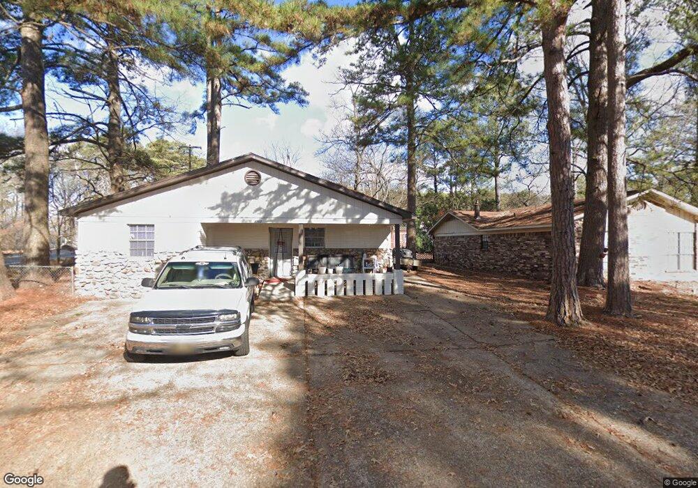
4317 Stillman Loop Bryant, AR 72022
Estimated Value: $190,000 - $227,000
1
Bed
1
Bath
1,571
Sq Ft
$129/Sq Ft
Est. Value
About This Home
This home is located at 4317 Stillman Loop, Bryant, AR 72022 and is currently estimated at $202,667, approximately $129 per square foot. 4317 Stillman Loop is a home located in Saline County with nearby schools including Collegeville Elementary School and Arkansas Christian Academy.
Ownership History
Date
Name
Owned For
Owner Type
Purchase Details
Closed on
Jan 29, 2013
Sold by
Summitt Properties Llc
Bought by
Carter Mark
Current Estimated Value
Purchase Details
Closed on
Nov 30, 2011
Sold by
City Of Ryant
Bought by
Summit Properties Llc
Home Financials for this Owner
Home Financials are based on the most recent Mortgage that was taken out on this home.
Original Mortgage
$887,560
Interest Rate
4.13%
Mortgage Type
Future Advance Clause Open End Mortgage
Purchase Details
Closed on
Sep 1, 1988
Bought by
City Of Bryant
Create a Home Valuation Report for This Property
The Home Valuation Report is an in-depth analysis detailing your home's value as well as a comparison with similar homes in the area
Home Values in the Area
Average Home Value in this Area
Purchase History
| Date | Buyer | Sale Price | Title Company |
|---|---|---|---|
| Carter Mark | $270,000 | None Available | |
| Summit Properties Llc | -- | None Available | |
| City Of Bryant | -- | -- |
Source: Public Records
Mortgage History
| Date | Status | Borrower | Loan Amount |
|---|---|---|---|
| Previous Owner | Summit Properties Llc | $887,560 |
Source: Public Records
Tax History
| Year | Tax Paid | Tax Assessment Tax Assessment Total Assessment is a certain percentage of the fair market value that is determined by local assessors to be the total taxable value of land and additions on the property. | Land | Improvement |
|---|---|---|---|---|
| 2025 | $1,245 | $23,272 | $5,200 | $18,072 |
| 2024 | $1,136 | $23,272 | $5,200 | $18,072 |
| 2023 | $1,245 | $23,272 | $5,200 | $18,072 |
| 2022 | $1,130 | $23,272 | $5,200 | $18,072 |
| 2021 | $1,031 | $19,680 | $4,000 | $15,680 |
| 2020 | $1,031 | $19,680 | $4,000 | $15,680 |
| 2019 | $1,031 | $19,680 | $4,000 | $15,680 |
| 2018 | $1,031 | $19,680 | $4,000 | $15,680 |
| 2017 | $1,013 | $19,680 | $4,000 | $15,680 |
| 2016 | $857 | $17,570 | $3,600 | $13,970 |
| 2015 | $857 | $17,570 | $3,600 | $13,970 |
| 2014 | $857 | $3,600 | $3,600 | $0 |
Source: Public Records
Map
Nearby Homes
- 3516 Vicki Dr
- 2529 Kara Ln
- 7206 Worth Ave E
- 3417 Andrew Dr
- 3221 Stivers Blvd
- 2913 Springhill Rd
- 2913 Glenbrook St
- 7413 Peach Blossom Ave
- 2506 W Robinhood Dr
- 2921 Henson Place
- 2565 Kara Ln
- 7422 Palm Beach Ave
- 7414 Palm Beach Ave
- 3211 Moonlighting Place Dr
- 3212 Moonlighting Place
- 2902 Andrew Dr
- 5603 Lexington Ave
- 6706 Worth Ave E
- TBD Springhill Rd
- 2406 Aberdeen Dr
- 4311 Stillman Loop
- 4305 Stillman Loop
- 4316 Stillman Loop
- 2419 Cedar Dr
- 2411 Cedar Dr
- 3605 Springhill Rd
- 0 Stillman Loop
- 4301 Stillman Loop
- 3517 Vicki Dr
- 4302 Stillman Loop
- 2403 Cedar Dr
- 3511 Vicki Dr
- 2506 Stivers Blvd
- 0 Vicki Dr
- 2319 Cedar Dr
- 4212 Stillman Loop
- 4211 Stillman Loop
- 3510 Vicki Dr
- 2510 Stivers Blvd
- 3505 Vicki Dr
Your Personal Tour Guide
Ask me questions while you tour the home.