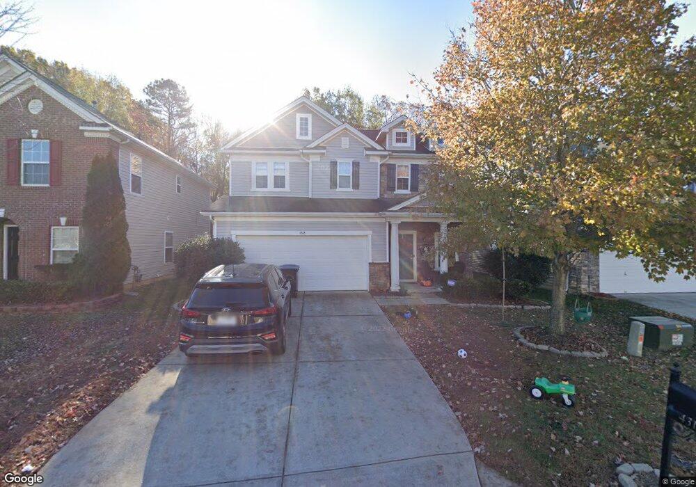
4318 Mary Point Rd Unit 140 Monroe, NC 28110
Estimated Value: $359,000 - $430,000
3
Beds
3
Baths
2,198
Sq Ft
$175/Sq Ft
Est. Value
About This Home
This home is located at 4318 Mary Point Rd Unit 140, Monroe, NC 28110 and is currently estimated at $384,242, approximately $174 per square foot. 4318 Mary Point Rd Unit 140 is a home located in Union County with nearby schools including Rocky River Elementary School, Sun Valley Middle School, and Sun Valley High School.
Ownership History
Date
Name
Owned For
Owner Type
Purchase Details
Closed on
Jul 24, 2020
Sold by
Gardner Jackson A and Gardner Seari K
Bought by
Smith Daniel G and Smith Amanda
Current Estimated Value
Home Financials for this Owner
Home Financials are based on the most recent Mortgage that was taken out on this home.
Original Mortgage
$236,550
Outstanding Balance
$210,146
Interest Rate
3.2%
Mortgage Type
New Conventional
Estimated Equity
$174,096
Purchase Details
Closed on
Oct 26, 2007
Sold by
Kb Home Charlotte Inc
Bought by
Gardner Jackson A and Gardner Saari K
Home Financials for this Owner
Home Financials are based on the most recent Mortgage that was taken out on this home.
Original Mortgage
$190,993
Interest Rate
6.26%
Mortgage Type
FHA
Create a Home Valuation Report for This Property
The Home Valuation Report is an in-depth analysis detailing your home's value as well as a comparison with similar homes in the area
Home Values in the Area
Average Home Value in this Area
Purchase History
| Date | Buyer | Sale Price | Title Company |
|---|---|---|---|
| Smith Daniel G | $474,000 | None Available | |
| Gardner Jackson A | $193,000 | None Available |
Source: Public Records
Mortgage History
| Date | Status | Borrower | Loan Amount |
|---|---|---|---|
| Open | Smith Daniel G | $236,550 | |
| Previous Owner | Gardner Jackson A | $190,993 |
Source: Public Records
Tax History Compared to Growth
Tax History
| Year | Tax Paid | Tax Assessment Tax Assessment Total Assessment is a certain percentage of the fair market value that is determined by local assessors to be the total taxable value of land and additions on the property. | Land | Improvement |
|---|---|---|---|---|
| 2024 | $1,609 | $246,900 | $44,900 | $202,000 |
| 2023 | $1,581 | $246,900 | $44,900 | $202,000 |
| 2022 | $1,536 | $246,900 | $44,900 | $202,000 |
| 2021 | $1,534 | $246,900 | $44,900 | $202,000 |
| 2020 | $1,308 | $166,800 | $39,000 | $127,800 |
| 2019 | $1,319 | $166,800 | $39,000 | $127,800 |
| 2018 | $1,319 | $166,800 | $39,000 | $127,800 |
| 2017 | $1,403 | $166,800 | $39,000 | $127,800 |
| 2016 | $1,365 | $166,800 | $39,000 | $127,800 |
| 2015 | $1,382 | $166,800 | $39,000 | $127,800 |
| 2014 | $1,252 | $178,480 | $38,500 | $139,980 |
Source: Public Records
Map
Nearby Homes
- 4419 Red Hook Rd
- 109 Carter Rd
- 3920 Weddington Rd
- 4619 Maho Ln
- 3900 Matthew Dr
- 702 Perth Dr
- 3414 Clearview Dr
- 816 N Rocky River Rd Unit 7
- 818 N Rocky River Rd Unit 6
- 5021 Markfield Ln
- 2035 Beacon Ave
- 6023 Walkers Run Dr
- 713 Tammy Dr
- 820 N Rocky River Rd Unit 5
- 5012 Willow Run Dr
- 201 Airport Rd
- 205 Airport Rd
- 3301 Basilwood Cir
- 5402 Weddington Rd
- 604 Circle Trace Rd
- 4318 Mary Point Rd
- 4316 Mary Point Rd
- 4320 Mary Point Rd
- 4314 Mary Point Rd
- 4322 Marys Point Rd
- 4322 Mary Point Rd
- 4314 Mary Point Rd
- 4312 Mary Point Rd
- 4319 Mary Point Rd
- 4312 Marys Point Rd Unit 137
- 4324 Manchineel Ln
- 4317 Mary Point Rd
- 4319 Mary Point Rd
- 5017 Manchineel Ln
- 4310 Mary Point Rd
- 4323 Mary Point Rd
- 4401 Marys Point Rd
- 5015 Manchineel Ln
- 4308 Mary Point Rd
- 4401 Mary Point Rd