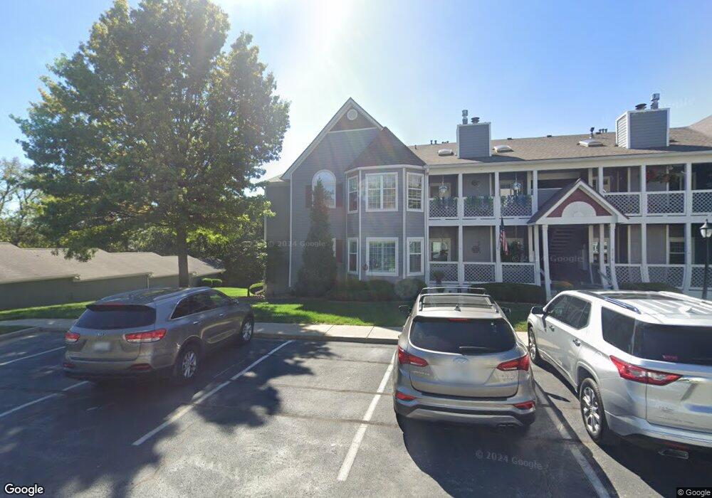
4318 S Bryant Ct Unit 50 Independence, MO 64055
39th East NeighborhoodEstimated Value: $183,529 - $197,000
2
Beds
2
Baths
1,347
Sq Ft
$141/Sq Ft
Est. Value
About This Home
This home is located at 4318 S Bryant Ct Unit 50, Independence, MO 64055 and is currently estimated at $189,632, approximately $140 per square foot. 4318 S Bryant Ct Unit 50 is a home located in Jackson County with nearby schools including William Southern Elementary School, Bridger Middle School, and Pioneer Ridge Middle School.
Ownership History
Date
Name
Owned For
Owner Type
Purchase Details
Closed on
May 19, 2025
Sold by
Miller Kristin W
Bought by
Moentmann Shellie
Current Estimated Value
Purchase Details
Closed on
Oct 11, 2019
Sold by
Bullard Ruth Ann
Bought by
Miller Kristin
Home Financials for this Owner
Home Financials are based on the most recent Mortgage that was taken out on this home.
Original Mortgage
$108,000
Interest Rate
3.5%
Mortgage Type
New Conventional
Create a Home Valuation Report for This Property
The Home Valuation Report is an in-depth analysis detailing your home's value as well as a comparison with similar homes in the area
Home Values in the Area
Average Home Value in this Area
Purchase History
| Date | Buyer | Sale Price | Title Company |
|---|---|---|---|
| Moentmann Shellie | -- | Plaza Title | |
| Miller Kristin | -- | Alpha |
Source: Public Records
Mortgage History
| Date | Status | Borrower | Loan Amount |
|---|---|---|---|
| Previous Owner | Miller Kristin | $108,000 |
Source: Public Records
Tax History Compared to Growth
Tax History
| Year | Tax Paid | Tax Assessment Tax Assessment Total Assessment is a certain percentage of the fair market value that is determined by local assessors to be the total taxable value of land and additions on the property. | Land | Improvement |
|---|---|---|---|---|
| 2025 | $1,988 | $31,409 | $4,427 | $26,982 |
| 2024 | $1,988 | $28,690 | $1,049 | $27,641 |
| 2023 | $1,942 | $28,690 | $3,671 | $25,019 |
| 2022 | $1,754 | $23,750 | $989 | $22,761 |
| 2021 | $1,754 | $23,750 | $989 | $22,761 |
| 2020 | $1,582 | $20,823 | $989 | $19,834 |
| 2019 | $1,557 | $20,823 | $989 | $19,834 |
| 2018 | $886,738 | $14,888 | $989 | $13,899 |
| 2017 | $1,166 | $14,888 | $989 | $13,899 |
| 2016 | $1,160 | $14,668 | $989 | $13,679 |
| 2014 | $1,135 | $14,668 | $989 | $13,679 |
Source: Public Records
Map
Nearby Homes
- 4326 S Bryant Dr
- 4317 S Coachman Dr
- 4162 S Bryant Dr
- 16904 E 43rd St S
- 17012 E 46th Street Ct S
- 17103 E 45th St S
- 17209 E 44th St Ct S N A
- 15711 E 44th Terrace S
- 3920 S Milton Dr
- 16002 E 41st St S
- 3909 S Milton Dr
- 16001 E Us 40 Hwy
- 4705 S Brentwood Ave
- 4707 S Brentwood Ave
- 17318 E Us Highway 40
- 4402 S Atherton Ct
- 3909 S Marshall Dr
- 15506 E 43rd Terrace S
- 5300 Lees Summit Rd
- Hawthorne Villas Plan at Ashton Farms
- 4318 S Bryant Ct
- 4318 S Bryant Ct Unit 7
- 4318 S Bryant Ct Unit 10
- 4318 S Bryant Ct Unit 51
- 4318 S Bryant Ct Unit 47
- 4318 S Bryant Ct Unit 48
- 4318 S Bryant Ct Unit 52
- 4318 S Bryant Ct Unit 49
- 4318 S Bryant Ct Unit 45
- 4318 S Bryant Ct Unit 46
- 4318 S Bryant Ct Unit 43
- 4318 S Bryant Ct Unit 44
- 4318 S Bryant Ct Unit 2
- 4318 S Bryant Ct Unit 9
- 16701 E 43rd St S
- 4312 S Bryant Ct Unit 1
- 4312 S Bryant Ct
- 4312 S Bryant Ct
- 4312 S Bryant Ct
- 4312 S Bryant Ct Unit 41