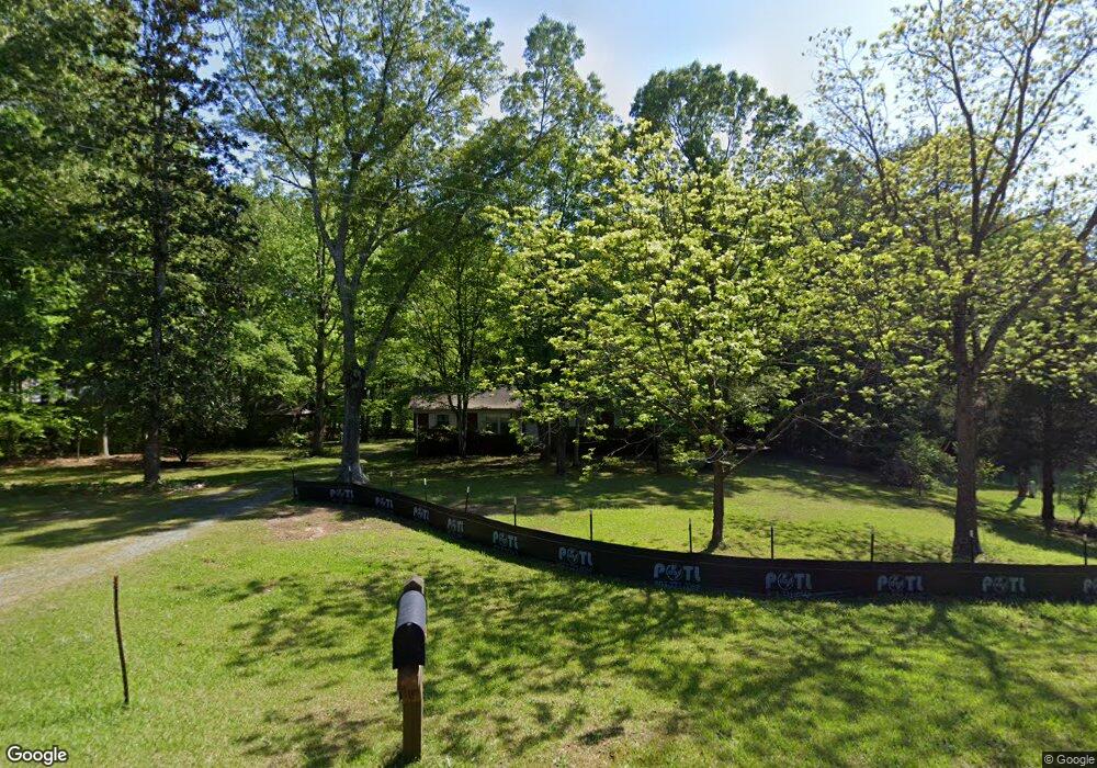
4318 Tory Path Rd Waxhaw, NC 28173
Estimated Value: $311,000 - $375,000
3
Beds
1
Bath
1,275
Sq Ft
$266/Sq Ft
Est. Value
About This Home
This home is located at 4318 Tory Path Rd, Waxhaw, NC 28173 and is currently estimated at $339,175, approximately $266 per square foot. 4318 Tory Path Rd is a home located in Union County with nearby schools including Waxhaw Elementary School, Parkwood Middle School, and Parkwood High School.
Ownership History
Date
Name
Owned For
Owner Type
Purchase Details
Closed on
Apr 18, 2011
Sold by
Privette Elizabeth Baker
Bought by
Baker Fred E and Baker Helen
Current Estimated Value
Home Financials for this Owner
Home Financials are based on the most recent Mortgage that was taken out on this home.
Original Mortgage
$124,000
Interest Rate
4.85%
Mortgage Type
Seller Take Back
Create a Home Valuation Report for This Property
The Home Valuation Report is an in-depth analysis detailing your home's value as well as a comparison with similar homes in the area
Home Values in the Area
Average Home Value in this Area
Purchase History
| Date | Buyer | Sale Price | Title Company |
|---|---|---|---|
| Baker Fred E | $124,000 | None Available |
Source: Public Records
Mortgage History
| Date | Status | Borrower | Loan Amount |
|---|---|---|---|
| Closed | Baker Fred E | $124,000 |
Source: Public Records
Tax History Compared to Growth
Tax History
| Year | Tax Paid | Tax Assessment Tax Assessment Total Assessment is a certain percentage of the fair market value that is determined by local assessors to be the total taxable value of land and additions on the property. | Land | Improvement |
|---|---|---|---|---|
| 2024 | $1,216 | $189,900 | $77,200 | $112,700 |
| 2023 | $1,196 | $189,900 | $77,200 | $112,700 |
| 2022 | $1,196 | $189,900 | $77,200 | $112,700 |
| 2021 | $1,193 | $189,900 | $77,200 | $112,700 |
| 2020 | $1,351 | $172,420 | $94,520 | $77,900 |
| 2019 | $1,354 | $172,420 | $94,520 | $77,900 |
| 2018 | $1,354 | $172,420 | $94,520 | $77,900 |
| 2017 | $1,418 | $172,400 | $94,500 | $77,900 |
| 2016 | $1,383 | $172,420 | $94,520 | $77,900 |
| 2015 | $1,404 | $172,420 | $94,520 | $77,900 |
| 2014 | $1,161 | $165,380 | $156,640 | $8,740 |
Source: Public Records
Map
Nearby Homes
- 1017 Cheviot Ct
- 1009 Cheviot Ct
- 3013 Whipcord Dr
- 3105 Deep River Way
- 8000 Millbridge Pkwy
- 1001 Linn Cove
- 2004 Whipcord Dr
- 1024 Gabardine Ln
- 0 Rockwood Dr
- 1005 Argentium Way
- 5017 Millbridge Pkwy
- 4607 Ferguson Cir
- 1128 Piper Meadows St
- 5031 Lydney Cir
- 3038 Lydney Cir
- 3009 Lydney Cir
- 5013 Hamilton Mill Dr
- 6883 Spring Peeper Ln
- 1000 Hudson Mill Dr
- 7742 Sea Turtle Way
- 4404 Tory Path Rd
- 4401 Tory Path Rd
- 4313 Tory Path Rd
- 4307 Tory Path Rd
- 4403 Tory Path Rd
- 4310 Tory Path Rd
- 4423 Tory Path Rd
- 10501 Waxhaw Hwy Unit 80
- 4303 Tory Path Rd
- 4028 Whipcord Dr
- 4004 Whipcord Dr
- 4036 Whipcord Dr
- 4029 Whipcord Dr Unit 720
- 928 Deep River Way Unit 709
- 1017 Cheviot Ct Unit 727
- 3020 Whipcord Dr
- 3017 Whipcord Dr Unit 732
- 1008 Cheviot Ct Unit 726
- 1008 Cheviot Ct
- 4052 Whipcord Dr Unit 755