43186 Burstall Ct Leesburg, VA 20176
Estimated Value: $789,577 - $945,000
4
Beds
4
Baths
2,380
Sq Ft
$374/Sq Ft
Est. Value
About This Home
This home is located at 43186 Burstall Ct, Leesburg, VA 20176 and is currently estimated at $890,394, approximately $374 per square foot. 43186 Burstall Ct is a home located in Loudoun County with nearby schools including John W. Tolbert Jr. Elementary School, Harper Park Middle School, and Heritage High School.
Ownership History
Date
Name
Owned For
Owner Type
Purchase Details
Closed on
Jan 6, 2022
Sold by
Greening Lisa M
Bought by
Greening Lisa M
Current Estimated Value
Home Financials for this Owner
Home Financials are based on the most recent Mortgage that was taken out on this home.
Original Mortgage
$416,500
Outstanding Balance
$382,013
Interest Rate
2.75%
Mortgage Type
New Conventional
Estimated Equity
$508,381
Purchase Details
Closed on
Nov 23, 2016
Sold by
Greening Timothy E and Greening Lisa M
Bought by
Greening Lisa M
Purchase Details
Closed on
Mar 24, 1998
Sold by
Nvr Homes Inc
Bought by
Greening Timothy E and Greening Lisa M
Home Financials for this Owner
Home Financials are based on the most recent Mortgage that was taken out on this home.
Original Mortgage
$214,600
Interest Rate
6.92%
Mortgage Type
New Conventional
Create a Home Valuation Report for This Property
The Home Valuation Report is an in-depth analysis detailing your home's value as well as a comparison with similar homes in the area
Home Values in the Area
Average Home Value in this Area
Purchase History
| Date | Buyer | Sale Price | Title Company |
|---|---|---|---|
| Greening Lisa M | -- | Stewart Title | |
| Greening Lisa M | -- | None Available | |
| Greening Timothy E | $228,110 | -- |
Source: Public Records
Mortgage History
| Date | Status | Borrower | Loan Amount |
|---|---|---|---|
| Open | Greening Lisa M | $416,500 | |
| Previous Owner | Greening Timothy E | $214,600 |
Source: Public Records
Tax History Compared to Growth
Tax History
| Year | Tax Paid | Tax Assessment Tax Assessment Total Assessment is a certain percentage of the fair market value that is determined by local assessors to be the total taxable value of land and additions on the property. | Land | Improvement |
|---|---|---|---|---|
| 2025 | $6,553 | $814,090 | $284,400 | $529,690 |
| 2024 | $6,614 | $764,680 | $279,400 | $485,280 |
| 2023 | $6,456 | $737,800 | $279,400 | $458,400 |
| 2022 | $6,410 | $720,260 | $224,400 | $495,860 |
| 2021 | $5,796 | $591,400 | $179,400 | $412,000 |
| 2020 | $5,734 | $554,010 | $179,400 | $374,610 |
| 2019 | $5,648 | $540,470 | $179,400 | $361,070 |
| 2018 | $5,448 | $502,130 | $159,400 | $342,730 |
| 2017 | $5,398 | $479,840 | $159,400 | $320,440 |
| 2016 | $5,468 | $477,560 | $0 | $0 |
| 2015 | $5,534 | $328,190 | $0 | $328,190 |
| 2014 | $5,283 | $302,960 | $0 | $302,960 |
Source: Public Records
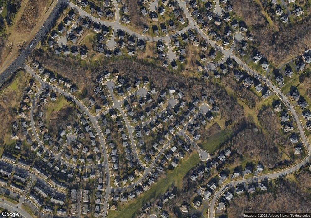
Map
Nearby Homes
- 43208 Cardston Place
- 18687 Drummond Place
- 18778 Trident Square
- 18788 Trident Square
- 43088 Candlewick Square
- 43082 Shadow Terrace
- 43252 Overview Place
- 1787 Moultrie Terrace NE
- 19042 Rocky Creek Dr
- 1707 Taymount Terrace NE
- 1740 Moultrie Terrace NE
- 43201 Burning Tree Place
- 43287 Warwick Hills Ct
- 851 Valemount Terrace NE
- 43414 Westchester Square
- 43067 Waters Overlook Ct
- 19009 Castleguard Ct
- 18441 Lanier Island Square
- 18301 Mid Ocean Place
- 18415 Rim Rock Cir
- 43182 Burstall Ct
- 43190 Burstall Ct
- 43165 Malloch Place
- 43161 Malloch Place
- 43178 Burstall Ct
- 43194 Burstall Ct
- 43187 Burstall Ct
- 43183 Burstall Ct
- 43169 Malloch Place
- 43191 Burstall Ct
- 43157 Malloch Place
- 43179 Burstall Ct
- 43195 Burstall Ct
- 18690 Drummond Place
- 18686 Drummond Place
- 43198 Burstall Ct
- 18682 Drummond Place
- 43212 Cardston Place
- 43168 Malloch Place
- 43216 Cardston Place