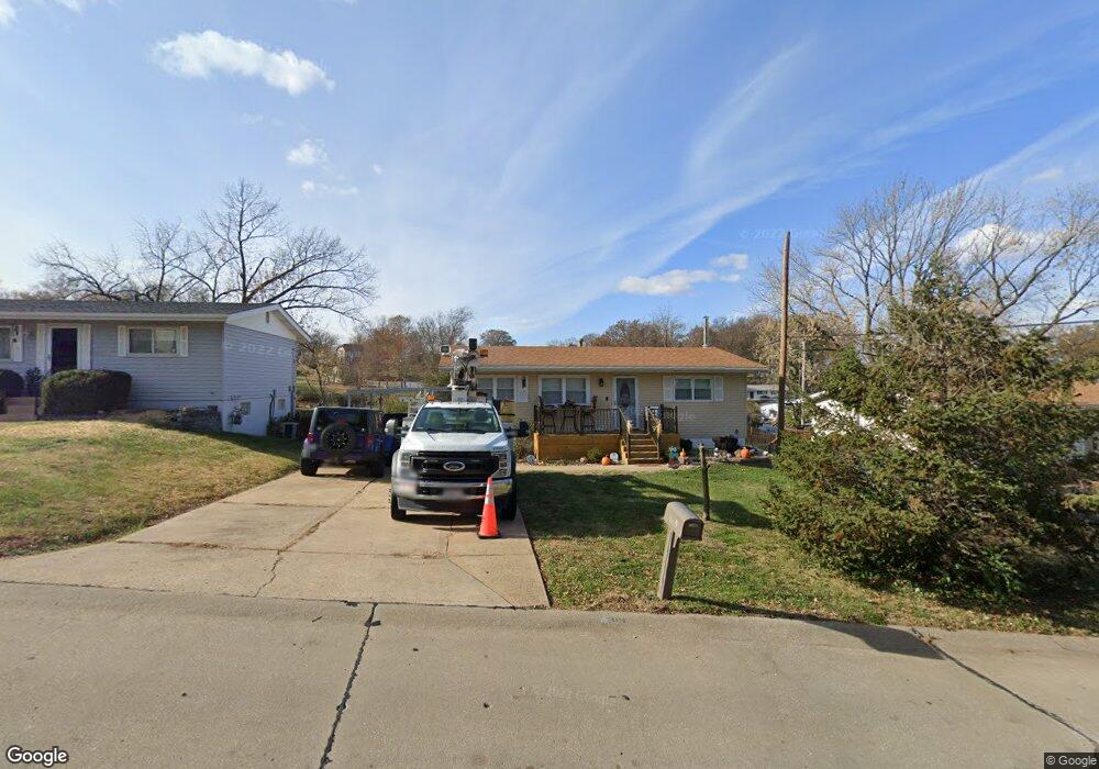
4319 Snelson Dr Saint Louis, MO 63129
Mehlville NeighborhoodEstimated Value: $201,510 - $224,000
2
Beds
1
Bath
864
Sq Ft
$248/Sq Ft
Est. Value
About This Home
This home is located at 4319 Snelson Dr, Saint Louis, MO 63129 and is currently estimated at $214,128, approximately $247 per square foot. 4319 Snelson Dr is a home located in St. Louis County with nearby schools including Wohlwend Elementary School, Bernard Middle School, and Oakville Senior High School.
Ownership History
Date
Name
Owned For
Owner Type
Purchase Details
Closed on
Jun 27, 2001
Sold by
Counts Mark E and Counts Valerie A
Bought by
Marquard Jeffrey S and Boster Martha E
Current Estimated Value
Home Financials for this Owner
Home Financials are based on the most recent Mortgage that was taken out on this home.
Original Mortgage
$105,128
Outstanding Balance
$40,104
Interest Rate
7.16%
Mortgage Type
FHA
Estimated Equity
$174,024
Create a Home Valuation Report for This Property
The Home Valuation Report is an in-depth analysis detailing your home's value as well as a comparison with similar homes in the area
Home Values in the Area
Average Home Value in this Area
Purchase History
| Date | Buyer | Sale Price | Title Company |
|---|---|---|---|
| Marquard Jeffrey S | $106,000 | Capital Title |
Source: Public Records
Mortgage History
| Date | Status | Borrower | Loan Amount |
|---|---|---|---|
| Open | Marquard Jeffrey S | $105,128 |
Source: Public Records
Tax History Compared to Growth
Tax History
| Year | Tax Paid | Tax Assessment Tax Assessment Total Assessment is a certain percentage of the fair market value that is determined by local assessors to be the total taxable value of land and additions on the property. | Land | Improvement |
|---|---|---|---|---|
| 2025 | $2,037 | $38,270 | $18,530 | $19,740 |
| 2024 | $2,037 | $30,130 | $8,490 | $21,640 |
| 2023 | $2,011 | $30,130 | $8,490 | $21,640 |
| 2022 | $1,671 | $25,100 | $10,030 | $15,070 |
| 2021 | $1,618 | $25,100 | $10,030 | $15,070 |
| 2020 | $1,604 | $23,670 | $10,030 | $13,640 |
| 2019 | $1,599 | $23,670 | $10,030 | $13,640 |
| 2018 | $1,520 | $20,290 | $6,800 | $13,490 |
| 2017 | $1,518 | $20,290 | $6,800 | $13,490 |
| 2016 | $1,443 | $18,490 | $5,090 | $13,400 |
| 2015 | $1,326 | $18,490 | $5,090 | $13,400 |
| 2014 | $1,453 | $20,100 | $5,090 | $15,010 |
Source: Public Records
Map
Nearby Homes
- 236 Tapestry Dr
- 200 Rouen Dr
- 2 Freeman Dr
- 71 Oakwood Ln
- 4135 Hickory Hill Dr
- 2177 Aileswick Dr
- 4172 Lisieux Ln
- 5427 Alnwick Dr
- 4555 Burncoate Dr
- 4322 Martyridge Dr
- 5501 Dober Ln
- 4460 Telegraph Rd
- 2408 Whitshire Dr
- 2526 Cathedral Dr
- 139 E Marseille Dr
- 170 Bridgeview Ln
- 115 Martigney Dr
- 230 Cliff Cave Rd
- 2323 Hempline Ct
- 337 Saddle Back Dr
- 4315 Snelson Dr
- 4323 Snelson Dr
- 4309 Snelson Dr
- 4327 Snelson Dr
- 4318 Snelson Dr
- 4316 Bordeaux Dr
- 4310 Snelson Dr
- 4305 Snelson Dr
- 4324 Snelson Dr
- 601 Magoffin Rd
- 4310 Bordeaux Dr
- 4320 Bordeaux Dr
- 300 Malone Dr
- 4301 Snelson Dr
- 549 Magoffin Rd
- 4324 Bordeaux Dr
- 4306 Bordeaux Dr
- 607 Magoffin Rd
- 560 Magoffin Rd
- 4300 Bordeaux Dr