Estimated Value: $56,814 - $135,000
2
Beds
1
Bath
720
Sq Ft
$143/Sq Ft
Est. Value
About This Home
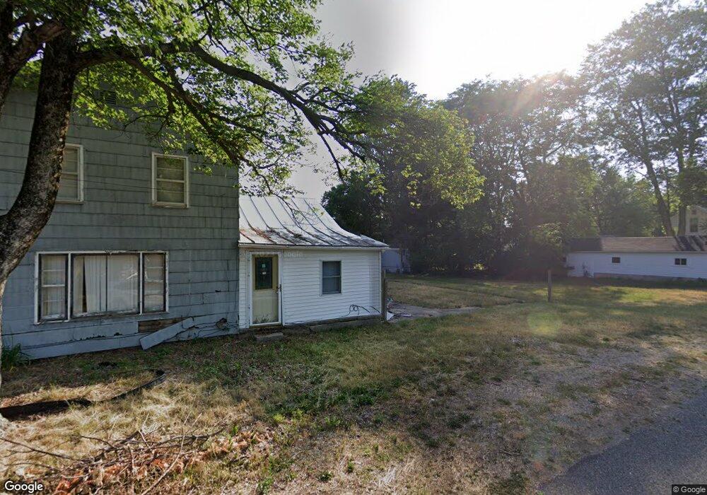
This home is located at 432 Barry St, Colon, MI 49040 and is currently estimated at $103,204, approximately $143 per square foot. 432 Barry St is a home located in St. Joseph County.
Ownership History
Date
Name
Owned For
Owner Type
Purchase Details
Closed on
Sep 23, 2019
Sold by
Saint Joseph County Treasurer
Bought by
Thornton Carl
Current Estimated Value
Purchase Details
Closed on
Jul 18, 2007
Sold by
Haack Lamont C and Haack Marilyn A
Bought by
Stallard Johnny M
Purchase Details
Closed on
Aug 17, 2006
Sold by
Eberstein Rebecca S
Bought by
Haack Lamont C and Haack Marilyn A
Home Financials for this Owner
Home Financials are based on the most recent Mortgage that was taken out on this home.
Original Mortgage
$19,600
Interest Rate
6.78%
Mortgage Type
Purchase Money Mortgage
Purchase Details
Closed on
Dec 14, 2001
Sold by
Eberstein Franklin M and Eberstein Debra L
Bought by
Eberstein Rebecca S
Purchase Details
Closed on
Jun 27, 2001
Sold by
Ackerman
Bought by
Eberstein
Purchase Details
Closed on
May 13, 1992
Purchase Details
Closed on
Jan 1, 1901
Create a Home Valuation Report for This Property
The Home Valuation Report is an in-depth analysis detailing your home's value as well as a comparison with similar homes in the area
Home Values in the Area
Average Home Value in this Area
Purchase History
| Date | Buyer | Sale Price | Title Company |
|---|---|---|---|
| Thornton Carl | $8,000 | None Available | |
| Stallard Johnny M | $29,500 | None Available | |
| Haack Lamont C | $24,500 | None Available | |
| Eberstein Rebecca S | -- | -- | |
| Eberstein | $17,500 | -- | |
| -- | -- | -- | |
| -- | -- | -- |
Source: Public Records
Mortgage History
| Date | Status | Borrower | Loan Amount |
|---|---|---|---|
| Previous Owner | Haack Lamont C | $19,600 |
Source: Public Records
Tax History Compared to Growth
Tax History
| Year | Tax Paid | Tax Assessment Tax Assessment Total Assessment is a certain percentage of the fair market value that is determined by local assessors to be the total taxable value of land and additions on the property. | Land | Improvement |
|---|---|---|---|---|
| 2025 | $478 | $11,600 | $3,400 | $8,200 |
| 2024 | $255 | $10,800 | $2,500 | $8,300 |
| 2023 | $457 | $10,300 | $2,500 | $7,800 |
| 2022 | $0 | $9,400 | $2,500 | $6,900 |
| 2021 | $0 | $9,300 | $2,500 | $6,800 |
| 2020 | $125 | $9,200 | $1,900 | $7,300 |
| 2019 | $99 | $9,400 | $1,900 | $7,500 |
| 2018 | $557 | $9,800 | $1,900 | $7,900 |
| 2017 | $567 | $10,200 | $10,200 | $0 |
| 2016 | -- | $9,900 | $9,900 | $0 |
| 2015 | -- | $10,000 | $0 | $0 |
| 2014 | -- | $10,400 | $10,400 | $0 |
| 2012 | -- | $9,900 | $9,900 | $0 |
Source: Public Records
Map
Nearby Homes
- 0 N Burr Oak Rd
- 457 S Burr Oak Rd
- 906 Bowman St
- 0 S Farrand Unit 25051538
- 31688 W Colon Rd
- 58954 Lakeshore Dr
- 59010 Lakeshore Dr
- 32205 James St
- 59178 Nora Dr
- 30725 Orla Engle Rd
- 31908 Decker Rd
- 316 Kane Rd
- 30591 Coohon Rd
- 774 Ralston Rd
- 60651 Bert Rd
- VL Heights Dr
- 30879 Michigan 60
- 881 Brent Dr
- 30315 Jacksonburg Rd
- 140 W Clay St