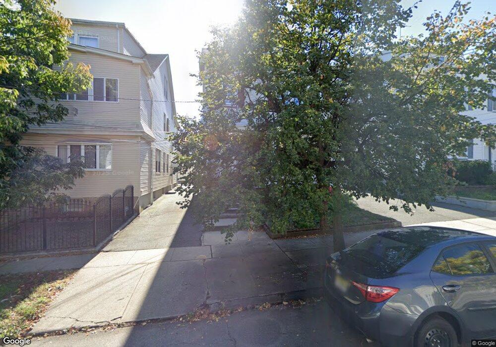
432 Beardsley Ave Bloomfield, NJ 07003
Estimated Value: $799,193 - $874,000
--
Bed
--
Bath
3,112
Sq Ft
$268/Sq Ft
Est. Value
About This Home
This home is located at 432 Beardsley Ave, Bloomfield, NJ 07003 and is currently estimated at $834,048, approximately $268 per square foot. 432 Beardsley Ave is a home located in Essex County with nearby schools including Carteret School, Bloomfield Middle School, and Bloomfield High School.
Ownership History
Date
Name
Owned For
Owner Type
Purchase Details
Closed on
May 29, 1998
Sold by
Barclift Alfred D
Bought by
Furtado Leonardo and Furtado Joseleine
Current Estimated Value
Home Financials for this Owner
Home Financials are based on the most recent Mortgage that was taken out on this home.
Original Mortgage
$185,250
Interest Rate
6.86%
Purchase Details
Closed on
Oct 30, 1996
Sold by
Raghunandan Latchman
Bought by
Barcliff Alfred and Deoca Juliza De
Home Financials for this Owner
Home Financials are based on the most recent Mortgage that was taken out on this home.
Original Mortgage
$181,000
Interest Rate
7.99%
Mortgage Type
FHA
Purchase Details
Closed on
Jan 9, 1992
Sold by
Palma Thomas C and Et Als Debra L
Bought by
Raghuhandah Latchman
Create a Home Valuation Report for This Property
The Home Valuation Report is an in-depth analysis detailing your home's value as well as a comparison with similar homes in the area
Home Values in the Area
Average Home Value in this Area
Purchase History
| Date | Buyer | Sale Price | Title Company |
|---|---|---|---|
| Furtado Leonardo | $195,000 | -- | |
| Barcliff Alfred | $191,800 | -- | |
| Raghuhandah Latchman | $182,500 | -- |
Source: Public Records
Mortgage History
| Date | Status | Borrower | Loan Amount |
|---|---|---|---|
| Previous Owner | Furtado Leonardo | $185,250 | |
| Previous Owner | Barcliff Alfred | $181,000 |
Source: Public Records
Tax History Compared to Growth
Tax History
| Year | Tax Paid | Tax Assessment Tax Assessment Total Assessment is a certain percentage of the fair market value that is determined by local assessors to be the total taxable value of land and additions on the property. | Land | Improvement |
|---|---|---|---|---|
| 2025 | $15,049 | $460,500 | $100,400 | $360,100 |
| 2024 | $15,049 | $460,500 | $100,400 | $360,100 |
| 2022 | $14,745 | $460,500 | $100,400 | $360,100 |
| 2021 | $14,474 | $460,500 | $100,400 | $360,100 |
| 2020 | $14,252 | $460,500 | $100,400 | $360,100 |
| 2019 | $14,861 | $373,300 | $99,000 | $274,300 |
| 2018 | $14,798 | $373,300 | $99,000 | $274,300 |
| 2017 | $14,574 | $373,300 | $99,000 | $274,300 |
| 2016 | $14,409 | $373,300 | $99,000 | $274,300 |
| 2015 | $14,279 | $373,300 | $99,000 | $274,300 |
| 2014 | $14,017 | $373,300 | $99,000 | $274,300 |
Source: Public Records
Map
Nearby Homes
- 413 Beardsley Ave Unit 3
- 413 Beardsley Ave
- 220 N 17th St
- 228 N 17th St
- 219 N 16th St
- 149 Leslie St
- 18 Whitman Ave
- 265 N 17th St
- 107 La France Ave
- 267 N 17th St
- 7 Whitman Ave
- 205 N 15th St
- 141 N 16th St
- 200 N 15th St
- 28 Lafayette Ave
- 42 La France Ave
- 65 Leslie St
- 12 Madison Ave
- 23 Belmont Ave
- 20 Heckel St Unit 3
- 430 Beardsley Ave
- 436 Beardsley Ave
- 428 Beardsley Ave
- 438 Beardsley Ave
- 426 Beardsley Ave
- 25 Waldo Ave
- 440 Beardsley Ave
- 29 Waldo Ave
- 23 Waldo Ave
- 31 Waldo Ave
- 21 Waldo Ave
- 424 Beardsley Ave
- 35 Waldo Ave
- 35 Waldo Ave Unit 3
- 35 Waldo Ave Unit 1st floor
- 17 Waldo Ave
- 37 Waldo Ave
- 422 Beardsley Ave
- 422 Beardsley Ave
- 422 Beardsley Ave Unit 2