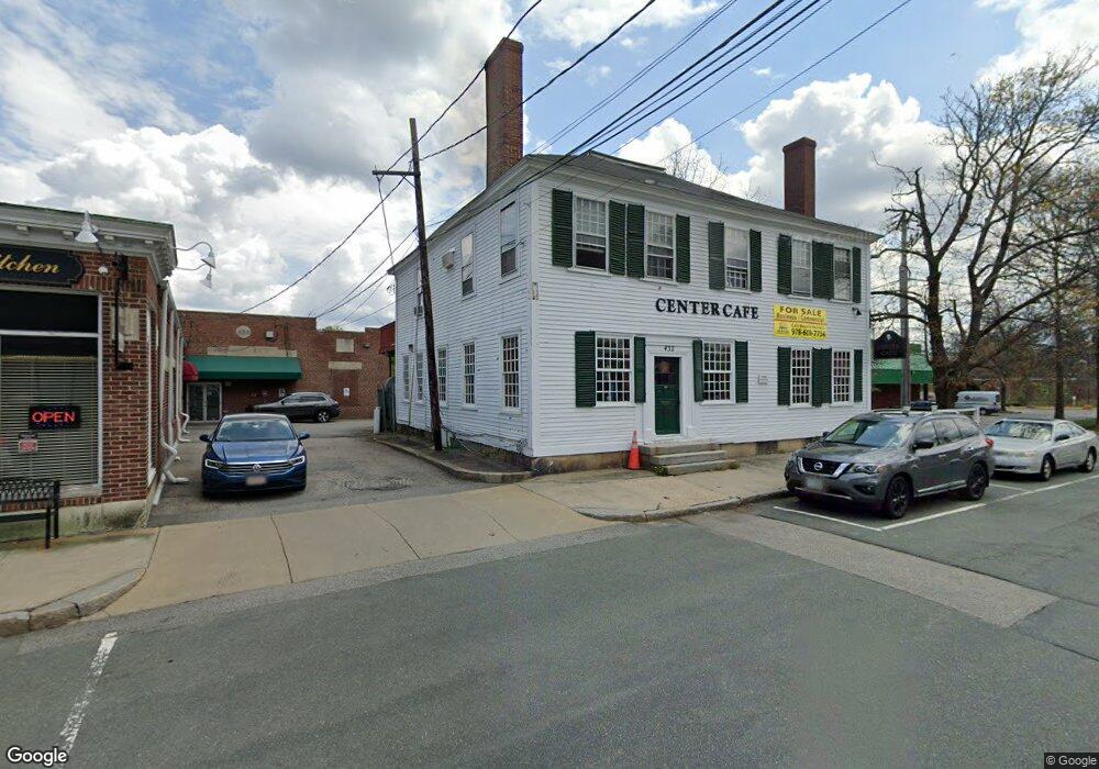
432 Boston Rd Unit 2, 432 Billerica, MA 01821
Estimated Value: $1,286,278
1
Bed
1
Bath
500
Sq Ft
$2,573/Sq Ft
Est. Value
About This Home
This home is located at 432 Boston Rd Unit 2, 432, Billerica, MA 01821 and is currently estimated at $1,286,278, approximately $2,572 per square foot. 432 Boston Rd Unit 2, 432 is a home located in Middlesex County with nearby schools including Billerica Memorial High School.
Ownership History
Date
Name
Owned For
Owner Type
Purchase Details
Closed on
Oct 31, 2024
Sold by
J And T Rt and Borrelli
Bought by
Center Rt and Crescio
Current Estimated Value
Purchase Details
Closed on
May 2, 1997
Sold by
D&D Rt and Cooke Richard E
Bought by
J&T Rt and Borrelli Anthony
Home Financials for this Owner
Home Financials are based on the most recent Mortgage that was taken out on this home.
Original Mortgage
$325,000
Interest Rate
7.85%
Mortgage Type
Commercial
Purchase Details
Closed on
Aug 4, 1993
Sold by
Stearns Charles E
Bought by
D&D Rt and Cooke Richard E
Home Financials for this Owner
Home Financials are based on the most recent Mortgage that was taken out on this home.
Original Mortgage
$150,000
Interest Rate
7.29%
Mortgage Type
Purchase Money Mortgage
Create a Home Valuation Report for This Property
The Home Valuation Report is an in-depth analysis detailing your home's value as well as a comparison with similar homes in the area
Home Values in the Area
Average Home Value in this Area
Purchase History
| Date | Buyer | Sale Price | Title Company |
|---|---|---|---|
| Center Rt | $1,225,000 | None Available | |
| Center Rt | $1,225,000 | None Available | |
| Center Rt | $1,225,000 | None Available | |
| J&T Rt | $450,000 | -- | |
| Borrelli | $450,000 | -- | |
| D&D Rt | $250,000 | -- |
Source: Public Records
Mortgage History
| Date | Status | Borrower | Loan Amount |
|---|---|---|---|
| Previous Owner | D&D Rt | $85,000 | |
| Previous Owner | D&D Rt | $325,000 | |
| Previous Owner | D&D Rt | $150,000 | |
| Closed | D&D Rt | $100,000 |
Source: Public Records
Tax History Compared to Growth
Tax History
| Year | Tax Paid | Tax Assessment Tax Assessment Total Assessment is a certain percentage of the fair market value that is determined by local assessors to be the total taxable value of land and additions on the property. | Land | Improvement |
|---|---|---|---|---|
| 2025 | -- | $0 | $0 | $0 |
| 2024 | -- | $1,790,600 | $418,200 | $1,372,400 |
| 2023 | $0 | $1,706,000 | $353,600 | $1,352,400 |
| 2022 | $0 | $1,706,000 | $353,600 | $1,352,400 |
| 2021 | $4,265 | $1,706,000 | $353,600 | $1,352,400 |
| 2020 | $0 | $1,673,600 | $353,600 | $1,320,000 |
| 2019 | $0 | $1,614,400 | $291,200 | $1,323,200 |
| 2018 | $3,744 | $1,251,900 | $259,300 | $992,600 |
| 2017 | -- | $1,251,900 | $259,300 | $992,600 |
| 2016 | -- | $1,146,100 | $259,300 | $886,800 |
| 2015 | -- | $883,300 | $247,100 | $636,200 |
| 2014 | -- | $790,900 | $209,100 | $581,800 |
Source: Public Records
Map
Nearby Homes
- 405 Boston Rd Unit 2
- 396 Boston Rd Unit 103
- 10 Charnstaff Ln Unit 204
- 19 Parker St
- 5 Karen Cir Unit 16
- 22 Kenmar Dr Unit 194Y
- 14 Kenmar Dr Unit 111
- 2 Karen Cir Unit 2
- 1 Purcell Dr
- 14 Elsie Ave
- 79 Bridle Rd
- 10 Avondale Ave
- 81 Salem Rd Unit 102
- 91 Pond St
- 37 Porter St
- LOT 54B Beverly Rd
- 12 Stoney Dr
- 23 Salem Rd
- 454 Middlesex Turnpike
- 133 Salem Rd
- 430 Boston Rd
- 420 Boston Rd Unit rear
- 420 Boston Rd Unit D
- 420 Boston Rd Unit A
- 420 Rear Boston Rd
- 420-428 Boston Rd Unit L
- 420 Boston Rd Unit R
- 420 Boston Rd Unit R
- 420 Boston Rd Unit L
- 420 Boston Rd Unit L
- 420-428 Boston Rd Unit Rear
- 420 Boston Rd
- 420 Boston Rd Unit 428
- 420 Boston Rd Unit E
- 420 Boston Rd Unit C
- 420 Boston Rd Unit F
- 1 Andover Rd Unit left
- 1a Andover Rd
- 5 Andover Rd Unit lower level
- 5 Andover Rd Unit 5/6