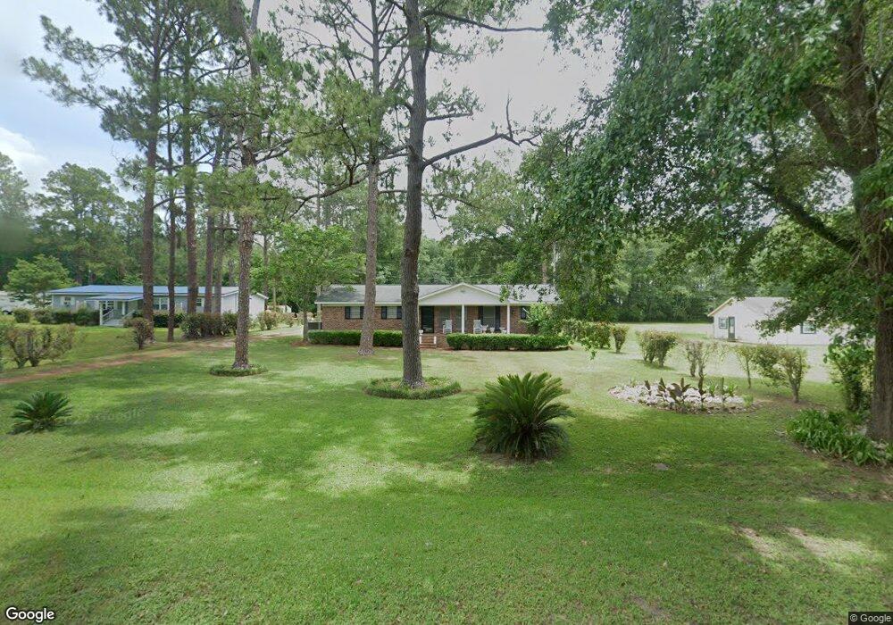
432 Branch Rd Albany, GA 31705
Estimated Value: $121,824 - $160,000
3
Beds
2
Baths
1,344
Sq Ft
$104/Sq Ft
Est. Value
About This Home
This home is located at 432 Branch Rd, Albany, GA 31705 and is currently estimated at $139,706, approximately $103 per square foot. 432 Branch Rd is a home located in Dougherty County with nearby schools including Turner Elementary School, Albany Middle School, and Radium Springs Middle School.
Ownership History
Date
Name
Owned For
Owner Type
Purchase Details
Closed on
Nov 12, 2018
Sold by
Lewis Willie James
Bought by
Lewis Willease C
Current Estimated Value
Purchase Details
Closed on
Dec 4, 2017
Sold by
Lewis Janene Ladora
Bought by
Lewis Willie James
Purchase Details
Closed on
Sep 15, 2006
Sold by
Aultman Faye Kent
Bought by
Lewis Willie James
Home Financials for this Owner
Home Financials are based on the most recent Mortgage that was taken out on this home.
Original Mortgage
$95,600
Interest Rate
6.48%
Mortgage Type
New Conventional
Purchase Details
Closed on
Nov 26, 2003
Sold by
Aultman George
Bought by
Aultman Faye Joiner
Purchase Details
Closed on
Nov 4, 1988
Sold by
Kelley Larry A
Bought by
Aultman George Etal
Create a Home Valuation Report for This Property
The Home Valuation Report is an in-depth analysis detailing your home's value as well as a comparison with similar homes in the area
Home Values in the Area
Average Home Value in this Area
Purchase History
| Date | Buyer | Sale Price | Title Company |
|---|---|---|---|
| Lewis Willease C | -- | -- | |
| Lewis Willie James | -- | -- | |
| Lewis Willie James | $95,600 | -- | |
| Lewis Willie James | -- | -- | |
| Aultman Faye Joiner | -- | -- | |
| Aultman George Etal | $45,000 | -- |
Source: Public Records
Mortgage History
| Date | Status | Borrower | Loan Amount |
|---|---|---|---|
| Previous Owner | Lewis Willie James | $95,600 |
Source: Public Records
Tax History Compared to Growth
Tax History
| Year | Tax Paid | Tax Assessment Tax Assessment Total Assessment is a certain percentage of the fair market value that is determined by local assessors to be the total taxable value of land and additions on the property. | Land | Improvement |
|---|---|---|---|---|
| 2024 | $1,400 | $36,640 | $5,040 | $31,600 |
| 2023 | $569 | $36,640 | $5,040 | $31,600 |
| 2022 | $1,404 | $36,640 | $5,040 | $31,600 |
| 2021 | $1,291 | $36,640 | $5,040 | $31,600 |
| 2020 | $1,293 | $36,640 | $5,040 | $31,600 |
| 2019 | $1,296 | $36,640 | $5,040 | $31,600 |
| 2018 | $1,299 | $36,640 | $5,040 | $31,600 |
| 2017 | $1,392 | $36,640 | $5,040 | $31,600 |
| 2016 | $1,393 | $36,640 | $5,040 | $31,600 |
| 2015 | $1,395 | $36,640 | $5,040 | $31,600 |
| 2014 | $1,376 | $36,640 | $5,040 | $31,600 |
Source: Public Records
Map
Nearby Homes
- 3431 Gladys Ct
- 3606 Radial Ave
- 3620 Radial Ave
- 3704 Parr Rd
- 405 Pine Bluff Rd
- 2802 Banks Ave
- 148 Force Dr
- 2731 Yorktown Ave
- 100 Gurr Dr
- 308 Forrestal Ln
- 3625 Sylvester Rd
- 2529 Cherokee Dr
- 513 Johnson Rd
- 5108 Cypress Ave
- 2523 Cherokee Dr
- 410 Johnson Rd
- 234 Cone St
- 306 Elsom St
- 414 Pine Glen Dr
- 307 Acorn St