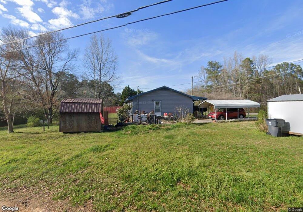
432 Broad St Tallapoosa, GA 30176
Estimated Value: $210,149 - $233,000
3
Beds
2
Baths
1,344
Sq Ft
$167/Sq Ft
Est. Value
About This Home
This home is located at 432 Broad St, Tallapoosa, GA 30176 and is currently estimated at $224,537, approximately $167 per square foot. 432 Broad St is a home located in Haralson County with nearby schools including Haralson County High School.
Ownership History
Date
Name
Owned For
Owner Type
Purchase Details
Closed on
Nov 5, 2021
Sold by
Carter Pamela K
Bought by
Carter Robert E
Current Estimated Value
Purchase Details
Closed on
Dec 4, 1989
Sold by
Partners Three Inc
Bought by
Carter Robert E and Carter Pamela K
Purchase Details
Closed on
Dec 30, 1988
Sold by
King Q P
Bought by
Partners Three Inc
Purchase Details
Closed on
Jun 6, 1986
Sold by
Hunt Kenneth and Hunt Wilso
Bought by
King Q P
Create a Home Valuation Report for This Property
The Home Valuation Report is an in-depth analysis detailing your home's value as well as a comparison with similar homes in the area
Home Values in the Area
Average Home Value in this Area
Purchase History
| Date | Buyer | Sale Price | Title Company |
|---|---|---|---|
| Carter Robert E | -- | -- | |
| Carter Pamela K | -- | -- | |
| Carter Robert E | $47,800 | -- | |
| Partners Three Inc | $69,100 | -- | |
| King Q P | -- | -- |
Source: Public Records
Tax History Compared to Growth
Tax History
| Year | Tax Paid | Tax Assessment Tax Assessment Total Assessment is a certain percentage of the fair market value that is determined by local assessors to be the total taxable value of land and additions on the property. | Land | Improvement |
|---|---|---|---|---|
| 2024 | -- | $48,014 | $4,834 | $43,180 |
| 2023 | $0 | $40,929 | $4,560 | $36,369 |
| 2022 | $1,139 | $33,524 | $4,560 | $28,964 |
| 2021 | $553 | $31,617 | $4,560 | $27,057 |
| 2020 | $628 | $32,092 | $4,560 | $27,532 |
| 2019 | $629 | $31,247 | $4,560 | $26,687 |
| 2018 | $819 | $30,848 | $4,560 | $26,288 |
| 2017 | $820 | $28,345 | $4,560 | $23,785 |
| 2016 | $713 | $26,485 | $4,560 | $21,925 |
| 2015 | $700 | $25,888 | $4,560 | $21,328 |
| 2014 | $822 | $29,247 | $7,600 | $21,647 |
Source: Public Records
Map
Nearby Homes
- 421 Broad St
- 28 McDonald Ridge
- 75 McDonald Rd
- 110 Dunson Rd
- 194 Faye St
- 135 Oakland Ct
- 174 Faye St
- 200 Mohawk Dr
- 80 Broad St
- 622 Cedartown Ave
- 0 Creek Dr Unit 148038
- 0 Cherokee Dr Unit 148037
- 00 Bethany St
- 0 Bethany St Unit 10655598
- 0 White St Unit 10638753
- 397 Steadman Rd
- 3230 Steadman Rd Unit 265
- LOT 1 Steadman Rd
- LOT 2 Steadman Rd
- 3230 Steadman Rd