432 Forrest Pointe Dr Murfreesboro, TN 37130
Estimated Value: $345,536 - $425,000
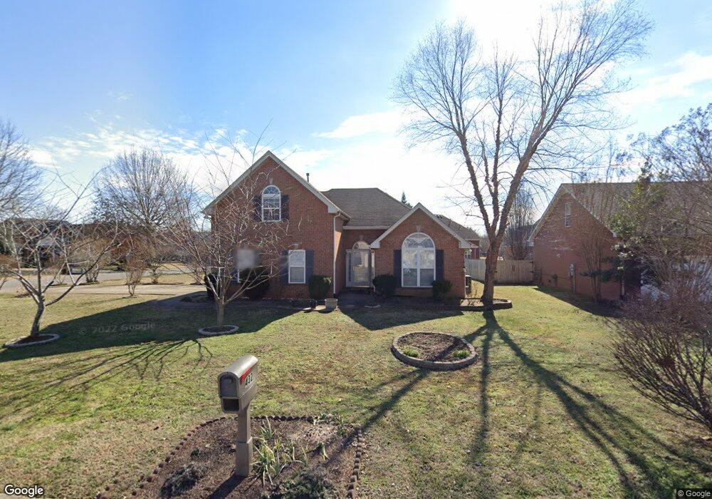
About This Home
This home is located at 432 Forrest Pointe Dr, Murfreesboro, TN 37130 and is currently estimated at $387,634, approximately $241 per square foot. 432 Forrest Pointe Dr is a home located in Rutherford County with nearby schools including Black Fox Elementary School, Christiana Middle School, and Riverdale High School.
Ownership History
We collect this data history from publicly available records. To have your information removed, we recommend requesting removal directly through your county’s website.
Purchase Details
Purchase Details
Home Financials for this Owner
Home Financials are based on the most recent Mortgage that was taken out on this home.Purchase Details
Home Values in the Area
Average Home Value in this Area
Purchase History
We collect this data history from publicly available records. To have your information removed, we recommend requesting removal directly through your county’s website.
| Date | Buyer | Sale Price | Title Company |
|---|---|---|---|
| $165,900 | -- | ||
| $141,100 | -- | ||
| $23,000 | -- |
Mortgage History
We collect this data history from publicly available records. To have your information removed, we recommend requesting removal directly through your county’s website.
| Date | Status | Borrower | Loan Amount |
|---|---|---|---|
| Previous Owner | $113,630 | ||
| Previous Owner | $21,300 |
Tax History
We collect this data history from publicly available records. To have your information removed, we recommend requesting removal directly through your county’s website.
| Year | Tax Paid | Tax Assessment Tax Assessment Total Assessment is a certain percentage of the fair market value that is determined by local assessors to be the total taxable value of land and additions on the property. | Land | Improvement |
|---|---|---|---|---|
| 2025 | -- | $77,800 | $13,750 | $64,050 |
| 2024 | -- | $77,800 | $13,750 | $64,050 |
| 2023 | $1,460 | $77,800 | $13,750 | $64,050 |
| 2022 | $1,257 | $77,800 | $13,750 | $64,050 |
| 2021 | $1,187 | $53,500 | $10,625 | $42,875 |
| 2020 | $1,187 | $53,500 | $10,625 | $42,875 |
| 2019 | $1,187 | $53,500 | $10,625 | $42,875 |
| 2018 | $1,631 | $53,500 | $0 | $0 |
| 2017 | $1,582 | $40,725 | $0 | $0 |
| 2016 | $1,582 | $40,725 | $0 | $0 |
| 2015 | $1,582 | $40,725 | $0 | $0 |
| 2014 | $1,013 | $40,725 | $0 | $0 |
| 2013 | -- | $40,125 | $0 | $0 |
Map
- 502 Forrest Pointe Dr
- 539 Forrest Pointe Dr
- 1545 Nathan Ct
- 1428 Anita Ct
- 1330 Shearron Ct
- 1341 Shearron Ct
- 1214 Glaze Ct
- 1119 Walton Dr
- 1419 Ascot Close
- 1120 Toddington Dr
- 435 Tremont Dr
- 1007 Tyler Ct
- 1023 Tyler Ct
- 1406 Bradyville Pike Unit 1408
- 1807 SE Broad St
- 722 Minor St
- 609 S Highland Ave
- 1823 SE Broad St
- 1101 N Lakeshore Dr
- 509 S Hancock St
- 1509 Nathan Ct
- 508 Forrest Pointe Dr
- 1508 Boone Ct
- 503 Forrest Pointe Dr
- 509 Forrest Pointe Dr
- 1515 Nathan Ct
- 433 Forrest Pointe Dr
- 515 Forrest Pointe Dr
- 1514 Boone Ct
- 1516 Nathan Ct
- 426 Forrest Pointe Dr
- 427 Forrest Pointe Dr
- 514 Forrest Pointe Dr
- 1521 Nathan Ct
- 521 Forrest Pointe Dr
- 1520 Boone Ct
- 421 Forrest Pointe Dr
- 420 Forrest Pointe Dr
- 1530 Nathan Ct
- 1509 Boone Ct
Ask me questions while you tour the home.