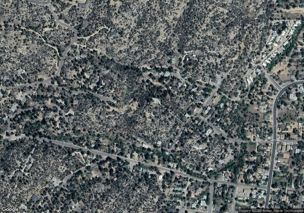
432 Keen St Prescott, AZ 86305
Estimated Value: $610,302 - $710,000
--
Bed
--
Bath
2,776
Sq Ft
$239/Sq Ft
Est. Value
About This Home
This home is located at 432 Keen St, Prescott, AZ 86305 and is currently estimated at $664,576, approximately $239 per square foot. 432 Keen St is a home located in Yavapai County with nearby schools including Lincoln Elementary School, Granite Mountain Middle School, and Prescott Mile High Middle School.
Ownership History
Date
Name
Owned For
Owner Type
Purchase Details
Closed on
Sep 29, 2003
Sold by
Donaldson Robert L and Donaldson Linda J
Bought by
Donaldson Robert L and Donaldson Linda J
Current Estimated Value
Home Financials for this Owner
Home Financials are based on the most recent Mortgage that was taken out on this home.
Original Mortgage
$248,000
Interest Rate
4.5%
Mortgage Type
Purchase Money Mortgage
Purchase Details
Closed on
May 9, 2003
Sold by
Donaldson Robert L and Donaldson Linda J
Bought by
Donaldson Robert L and Donaldson Linda J
Create a Home Valuation Report for This Property
The Home Valuation Report is an in-depth analysis detailing your home's value as well as a comparison with similar homes in the area
Home Values in the Area
Average Home Value in this Area
Purchase History
| Date | Buyer | Sale Price | Title Company |
|---|---|---|---|
| Donaldson Robert L | -- | Chicago Title Insurance Co | |
| Donaldson Robert L | -- | Chicago Title Insurance Co | |
| Donaldson Robert L | -- | -- |
Source: Public Records
Mortgage History
| Date | Status | Borrower | Loan Amount |
|---|---|---|---|
| Closed | Donaldson Robert L | $248,000 |
Source: Public Records
Tax History Compared to Growth
Tax History
| Year | Tax Paid | Tax Assessment Tax Assessment Total Assessment is a certain percentage of the fair market value that is determined by local assessors to be the total taxable value of land and additions on the property. | Land | Improvement |
|---|---|---|---|---|
| 2026 | $1,694 | $50,446 | -- | -- |
| 2024 | $1,636 | $48,229 | -- | -- |
| 2023 | $1,659 | $37,497 | $4,312 | $33,185 |
| 2022 | $1,636 | $32,880 | $5,164 | $27,716 |
| 2021 | $1,755 | $32,350 | $5,076 | $27,274 |
| 2020 | $1,763 | $0 | $0 | $0 |
| 2019 | $1,751 | $0 | $0 | $0 |
| 2018 | $1,673 | $0 | $0 | $0 |
| 2017 | $1,612 | $0 | $0 | $0 |
| 2016 | $1,605 | $0 | $0 | $0 |
| 2015 | $1,557 | $0 | $0 | $0 |
| 2014 | -- | $0 | $0 | $0 |
Source: Public Records
Map
Nearby Homes
- 1415 Paar Dr
- 620 Keen St
- 615 West St Unit 5
- 1199 Linwood Ave
- 1789 Idylwild Rd
- 1845 Idylwild Rd
- 931 Downer Trail
- 920 Downer Trail
- 1733 Idylwild Rd
- 1199 Luane Cir
- 841 Dougherty St
- 1711 Idylwild Rd
- 1357 Autumn Walk
- 1309 Westridge Dr
- 190 Apollo Heights Dr
- 1565 Idylwild Rd
- 237 Creekside Cir Unit F
- 237 Creekside Cir Unit C
- 1601 Buttermilk Ln
- 229 Creekside Cir Unit 15C
- 507 Rose Garden Cove
- 430 Keen St
- 509 Rose Garden Cove
- 511 Rose Garden Cove
- 428 Keen St
- 530 Rose Garden Cove
- 434 Keen St
- 1537 Mile High Dr
- 1690 Farview Ln
- 422 Keen St
- 1529 Mile High Dr
- 450 Keen St
- 402 Keen St
- 412 Mayo St
- 1525 Mile High Dr
- 502 Keen St
- 1617 Mile High Dr
- 1519 Mile High Dr
- 412 Keen St
- 1517 Mile High Dr
